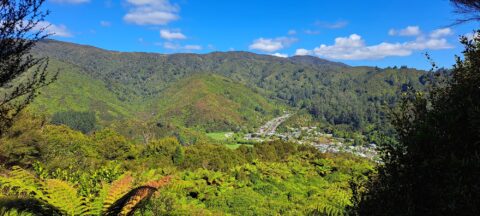
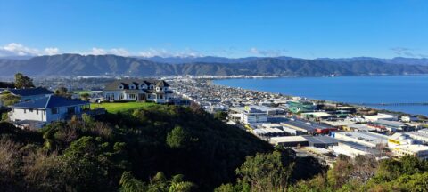
High up on a ridge in Wainuiomata Scenic Reserve, you can get a great view of Sunny Grove, Hine...
New Zealand Photos
About
Our photos of New Zealand include both the North and South islands. Subjects are as varied as cities like Auckland, Wellington, and Christchurch. We also have photos of towns, mountains, coastline, rivers, geological features, plant life, animals, people, sport, and Maori culture. Our images date back to the 1960s and span decades to the present day.
Locations
- Abel Tasman photos
- Akatarawa Forest photos
- Auckland photos
- Blenheim photos
- Canterbury photos
- Castlepoint photos
- Central Otago photos
- Christchurch photos
- Coromandel photos
- Fiordland photos
- Fox Glacier photos
- Franz Josef Glacier photos
- Hawkes Bay photos
- Kaitoke photos
- Kapiti Coast photos
- Kapiti Island photos
- Lake Tekapo photos
- Lower Hutt photos
- Mana Island photos
- Manawatu Photos
- Marlborough Sounds photos
- Mount Bruce photos
- Mt Cook photos
- Mt Ruapehu photos
- Mt Taranaki photos
- Napier photos
- Nelson photos
- Nikau Reserve photos
- Northland photos
- Pelorus Bridge Scenic Reserve
- Porirua photos
- Puketahā
- Putangirua Pinnacles photos
- Queenstown photos
- Remutaka Range photos
- Rotorua photos
- Southern Alps photos
- Tararua Range photos
- Tasman Bay photos
- Taupo photos
- Te Mata Peak
- Tongariro National Park photos
- Upper Hutt photos
- Waimangu Valley photos
- Wainuiomata photos
- Wairarapa photos
- Wairoa photos
- Wellington photos
- Whanganui photos
Using our photos
The photos can be used without permission in school projects and websites so long as the photos are not altered in any way except resizing. Do not crop the photos and in particular do not remove the watermark in the bottom-right corner. You must give attribution if you use our photos.
For more information about using our photos, visit the About Us page.
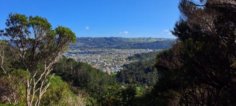
Looking at a section of the Hutt Valley as seen from the hills behind the suburb of Naenae in...
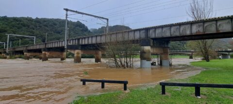
Continuous heavy rain in August and September 2024 caused the Hutt River to rise significantly above its usual height.
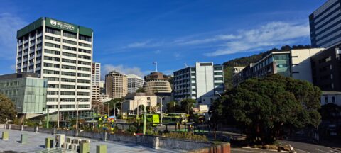
Wellington Bus Station & Buildings
Wellington photos, Buildings, Buses, Extra Wide Horizontal, GovernmentA view of Wellington Bus Station with a building from Victoria University on the left, and the Beehive, the...
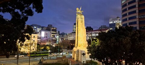
The Wellington Cenotaph, also known as the Wellington Citizens’ War Memorial, is a prominent war memorial located at the...
Sledge Pool in Wainuiomata River
Wainuiomata photos, Cities, Harbors, Landscape / Horizontal, Mountains, NightView of Sledge Track Pool in Wainuiomata. This pool is found further upstream than other good swimming holes located...
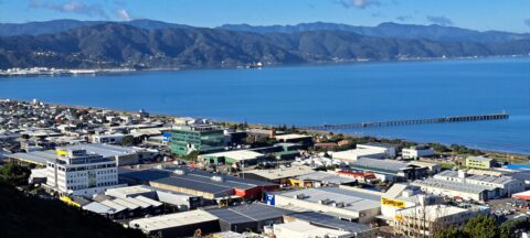
A view of the Petone CBD in Lower Hutt, with Wellington Harbour in sight and the Lower Hutt suburb...
View of Petone as seen from the Lower Hutt suburb of Korokoro. You can see Petone’s CBD and Wellington...
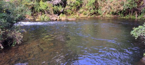
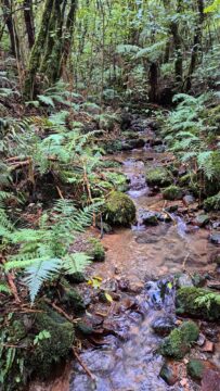
There are numerous unnamed creeks and streams in Wainuiomata Regional Park that feed into the Wainuiomata River including this...
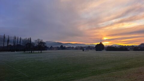
A picturesque view of the rugby field at St Pats College in Silverstream, Upper Hutt. In winter, it’s not...
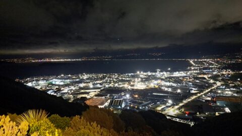
Wainuiomata Lookout at Night
Wainuiomata photos, Cities, Harbors, Landscape / Horizontal, Mountains, NightLooking at Seaview and Wellington Harbour as seen from the Wainuiomata Lookout at the top of Wainuiomata Road.
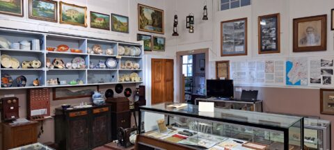
Looking at one of the rooms in the Wainuiomata Museum that displays artefacts from the past as well as...
Calendar
| M | T | W | T | F | S | S |
|---|---|---|---|---|---|---|
| 1 | ||||||
| 2 | 3 | 4 | 5 | 6 | 7 | 8 |
| 9 | 10 | 11 | 12 | 13 | 14 | 15 |
| 16 | 17 | 18 | 19 | 20 | 21 | 22 |
| 23 | 24 | 25 | 26 | 27 | 28 | 29 |
| 30 | ||||||
Popular Posts
- Awakening New Zealand video (100)
- Iguazu Falls as seen from Brazil (87)
- Metrocable Medellin (78)
- Pauatahanui Inlet (69)
- Spinnaker Hill in Whitby Porirua (68)
- Spinnaker Hill View (68)
- View from Whitby (68)
- The Devil’s Throat (62)
- Aerial View of Iguazu Falls (61)
- Porirua Harbour & Papakowhai (57)
- Lake Wakatipu (57)
- Salto Rivadavia & Iguassu River (56)
- Lake Tekapo & Lupins (54)
- Nelson View (53)
- Salto Rivadavia Misiones Province (53)
- Cascadas at Iguazu (53)

Recent Comments