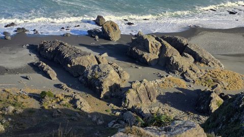
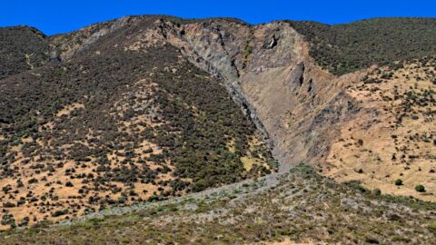
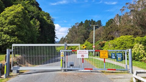
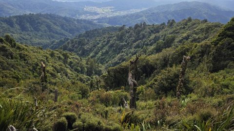
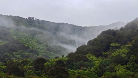
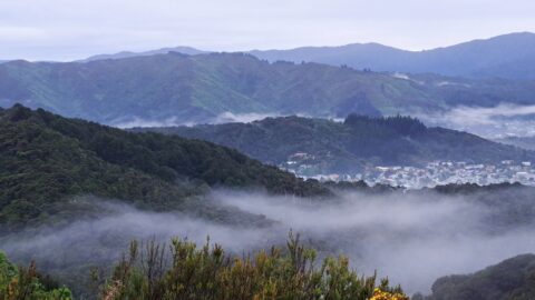
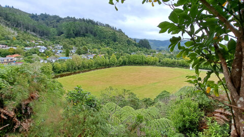
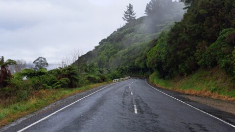
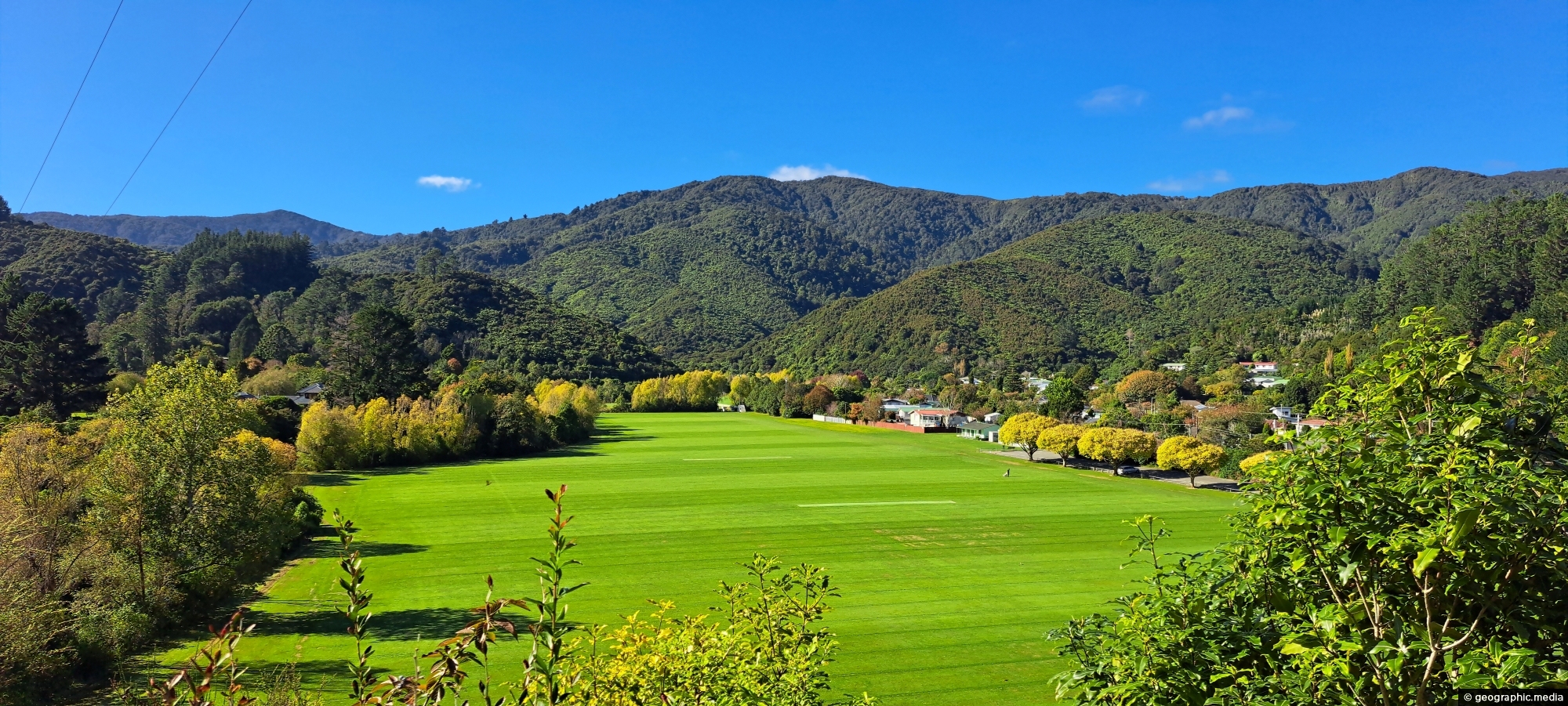
A view overlooking Richard Prouse Park and the surrounding hills from The Rock on Moores Valley Road. Once a quarry, The Rock is now a hill gradually regenerating into forest. The hills in the background are part of Wainuiomata Regional Park.
ALL / Explore Oceania / Explore New Zealand / New Zealand Photos / Wainuiomata photos / View from The Rock in Wainuiomata
All original royalty-free photos, shareable maps, and informative articles.
View from The Rock in Wainuiomata
Page Views
This post has been viewed 647 times
Related Articles
-
Misty Day at Richard Prouse Park
Wainuiomata photos, Extra Wide Horizontal, fog, Mountains, Parks
Winter view of Richard Prouse Park in Wainuiomata, with the hills of Wainuiomata Regional Park shrouded in fog.
-
Hillside Beech Forest
Wainuiomata photos, Extra Wide Horizontal, Rivers
A beech forest sits atop a spur descending towards a creek within the lowland broadleaf forest below. Broadleaf forest...
-
Lower Wainuiomata River
Wainuiomata photos, Extra Wide Horizontal, Rivers, Roads, Rural, Sea
Looking across the southern section of the Wainuiomata River before it flows beyond the south coast and out into...
-
River at Richard Prouse Park
Wainuiomata photos, Extra Wide Horizontal, Forests, Rivers
View of Wainuiomata River on the edge of Richard Prouse Park. This part of the river has a few...
-
Upper Nikau Creek
Wainuiomata photos, Extra Wide Horizontal, Rivers
A view of Nikau Creek deep in the gully, through dense native bush, and beyond Nikau Creek Track in...
-
Coast Road and Lighthouse Bridge
Wainuiomata photos, Bridges, Extra Wide Horizontal, Rivers, Rural, Sea
Looking along Coast Road near the southern coastline, with Lighthouse Bridge in view as it spans the Wainuiomata River.
-
Breaking Waves at Baring Head
Wainuiomata photos, Extra Wide Horizontal, Sea
Breaking waves at Baring Head show what looks like a great left-hand break. However, the absence of surfers may...
-
Remutaka Hills Wainuiomata
Wainuiomata photos, Extra Wide Horizontal, Forests
Looking at a forested foothill in the Remutaka Range. The Lower Hutt suburb of Wainuiomata is set below these...
0 Comments
Popular Posts
- Awakening New Zealand video (100)
- Iguazu Falls as seen from Brazil (87)
- Metrocable Medellin (78)
- Pauatahanui Inlet (69)
- Spinnaker Hill View (69)
- Spinnaker Hill in Whitby Porirua (69)
- View from Whitby (68)
- The Devil’s Throat (63)
- Aerial View of Iguazu Falls (61)
- Porirua Harbour & Papakowhai (58)
- Lake Wakatipu (57)
- Salto Rivadavia & Iguassu River (56)
- Salto Rivadavia Misiones Province (54)
- Close up of Salto Rivadavia (54)
- Cascadas at Iguazu (54)
- Lake Tekapo & Lupins (54)
Subjects
AccommodationAnimalsArchitectureBeachesBirdsBoatsBridgesBuildingsCarsChurchesCitiesCoralCultureExtra Wide HorizontalFlowersForestsHarborsHomesIslandsLakesLandscape / HorizontalMapsMenMonumentsMountainsPalmsParksPeoplePlantsPortrait / VerticalRiversRoadsRuralSeaShopsSkyscrapersSnowSunsetsTownsTrailsTransportTreesVideosVolcanicWaterfalls
Recent Comments
- DavidJ on The True Size of Australia
- Anonymous on The True Size of Australia
- Lance on Concrete Hut Wainuiomata
- Tony on Concrete Hut Wainuiomata
- DavidJ on Wellington Night Skyline