
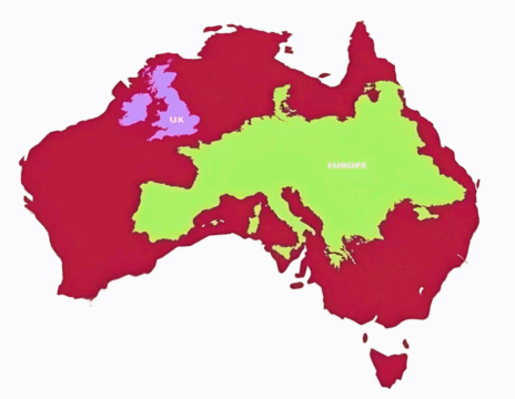
Australia is significantly larger than Western Europe, even when Scandinavia is excluded, (otherwise it doesn’t fit inside the map)....
Maps
About
World Maps
All free to use maps of continents and countries from around the world.
Included are Google Maps, Street View, and custom interactive maps. Further, we have maps highlighting: locations, geography, topography, climate, and more. All maps are free to download, use, and share.
Maps by Country
Argentina
Australia
Brazil
Canada
Colombia
Ecuador
France
New Caledonia
New Zealand
Norway
Tonga
USA
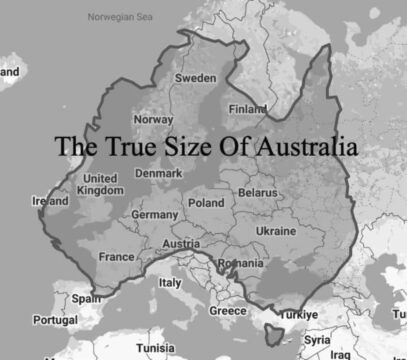
The true size of Australia can be hard to grasp. While overlaying it over Europe showcases its vastness, if...
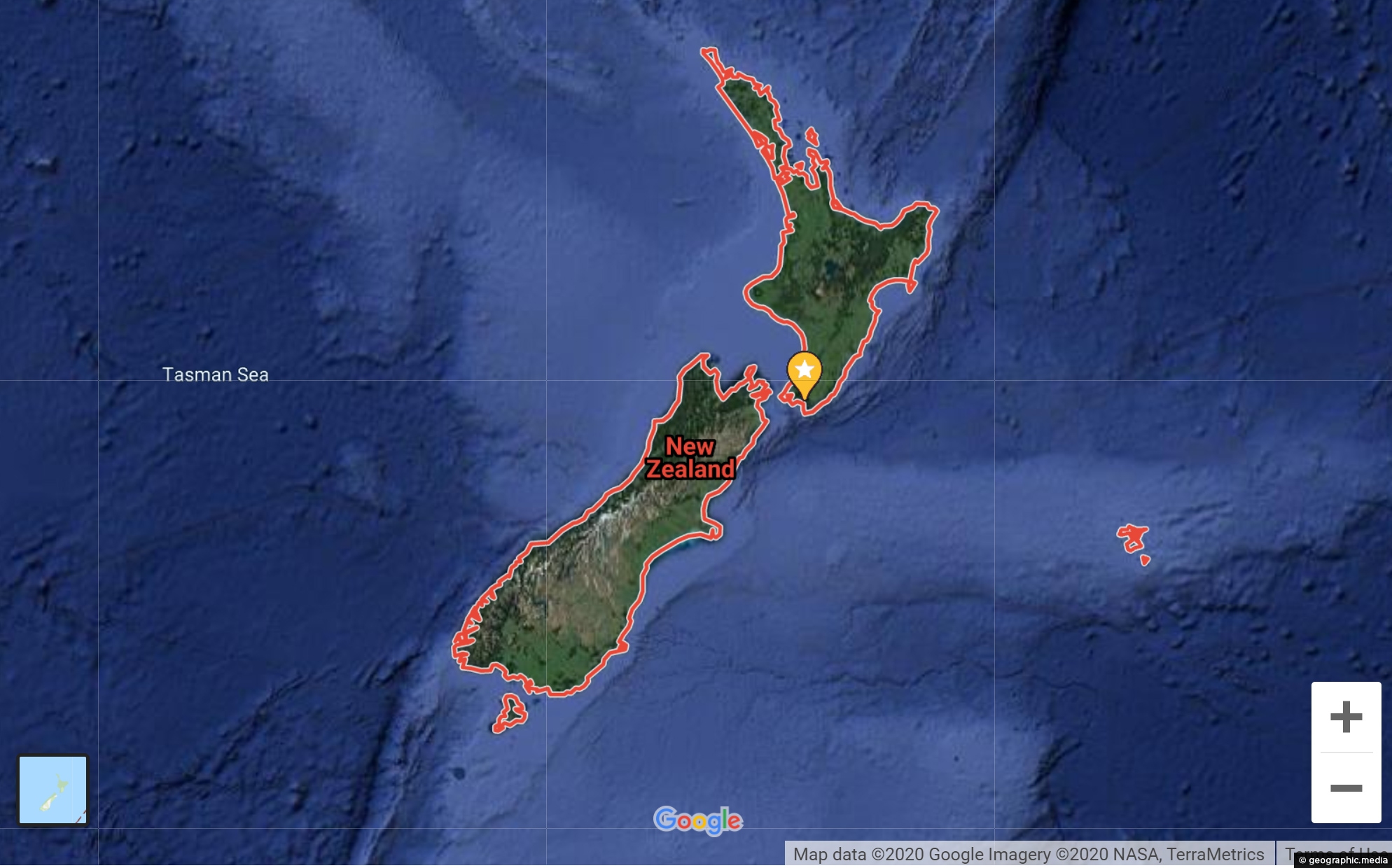
New Zealand map showing landscapes, cities, towns, & streets Explore New Zealand with our google map showing landscapes, cities....
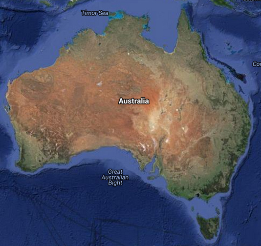
Australian map showing landscapes, cities, towns, & streets Explore Australia with our google map showing landscapes, cities, and towns....

USA map showing landscapes, cities, towns, & streets OK View Larger Map Try out our interactive Google Map of...
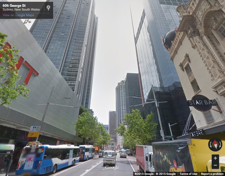
Interactive Sydney Street View starting at George Street Try navigating down George Street till you get to the famous...
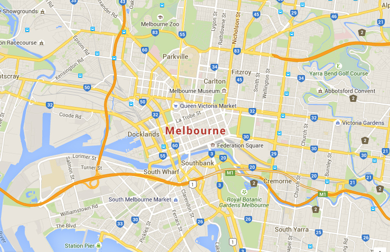
Interactive Google Map of Melbourne, the second largest city in Australia View Larger Map Navigate along the suburb of...
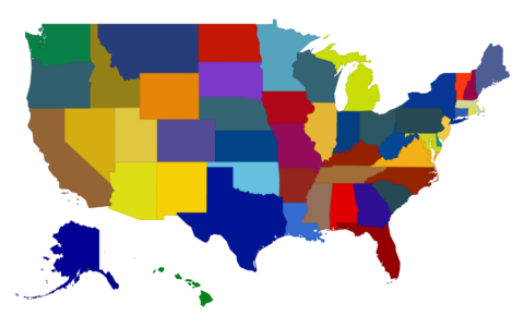
Hover over this state map of the United States to learn something new about each state. There are fifty...
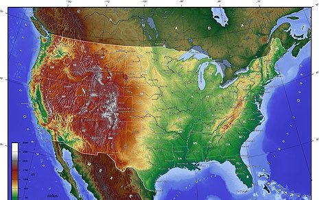
Relief map of the USA. The map is color coded to show high and low elevations in meters
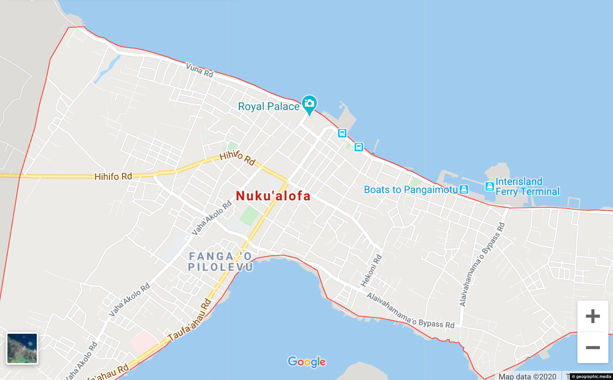
View Larger Map Interactive Google street map of Nuku’alofa, the capital of Tonga. Switch to satellite mode and explore...
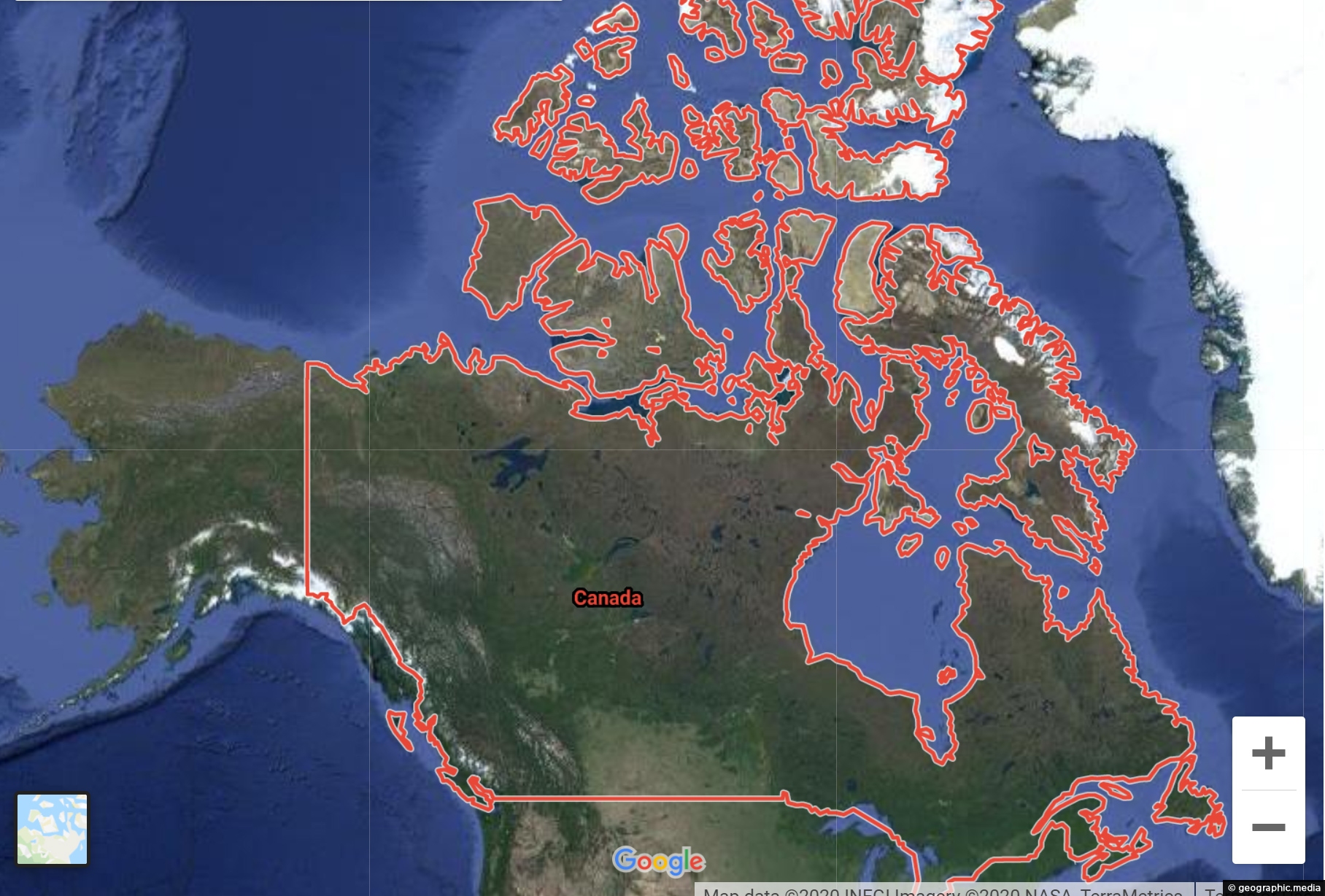
View Larger Map Explore Canada using our Google Map and Street View. Take a virtual tour of Vancouver, navigate...
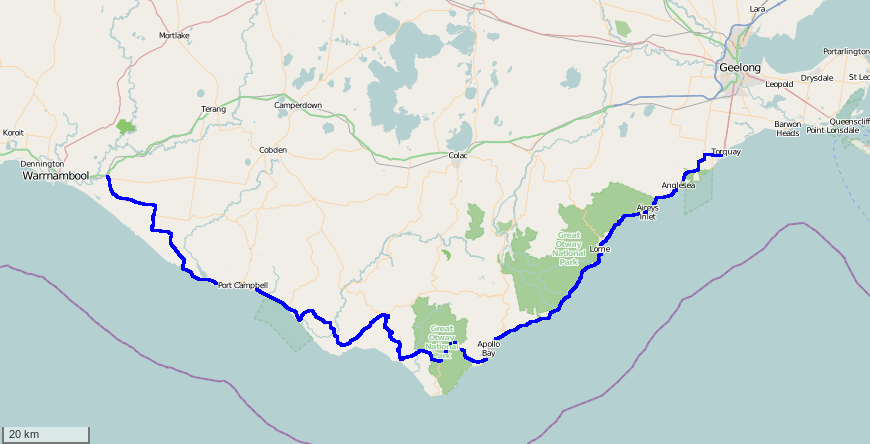
Map of the Great Ocean Road in Australia. It is considered the best coastal drive in the country. The...

Recent Comments