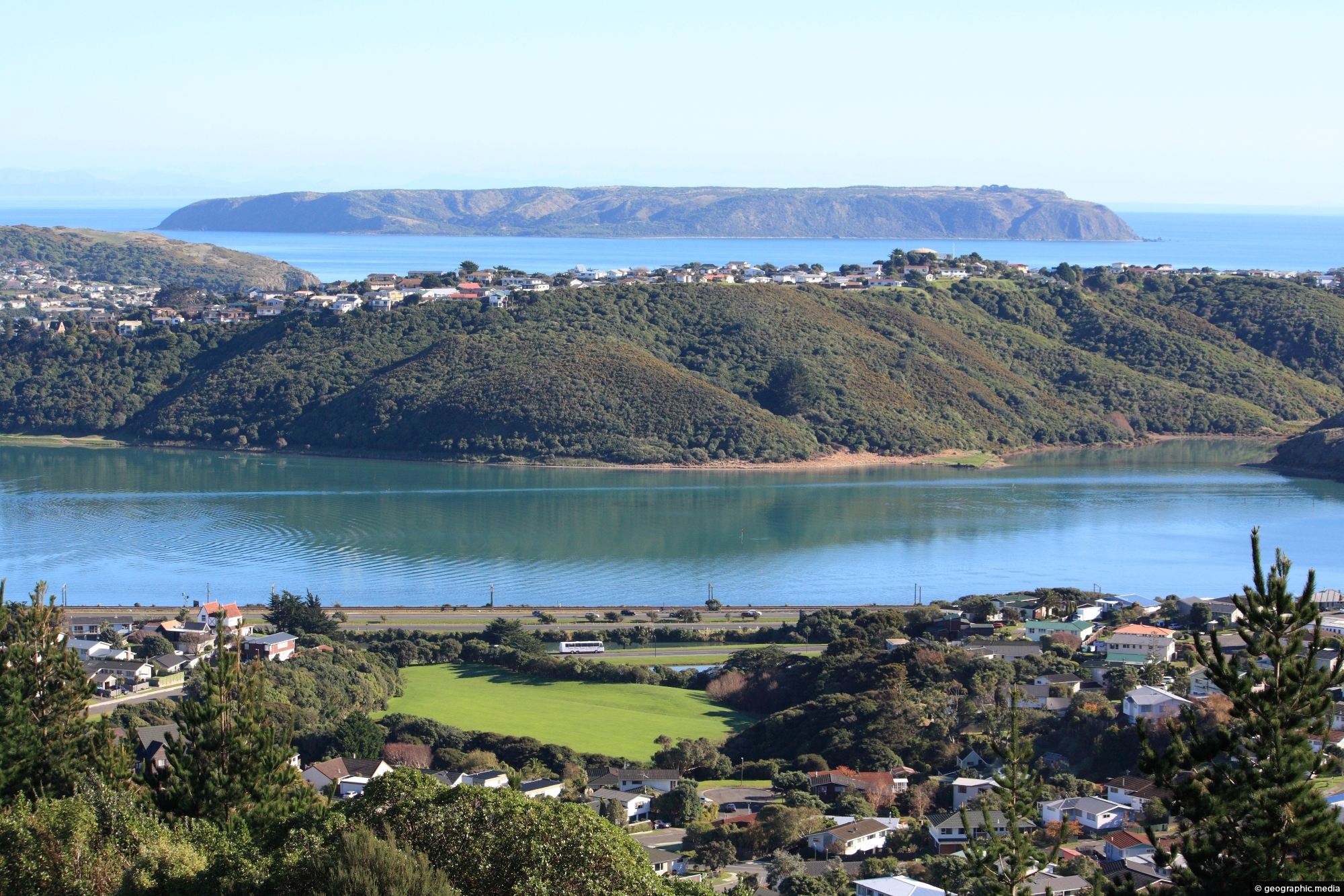
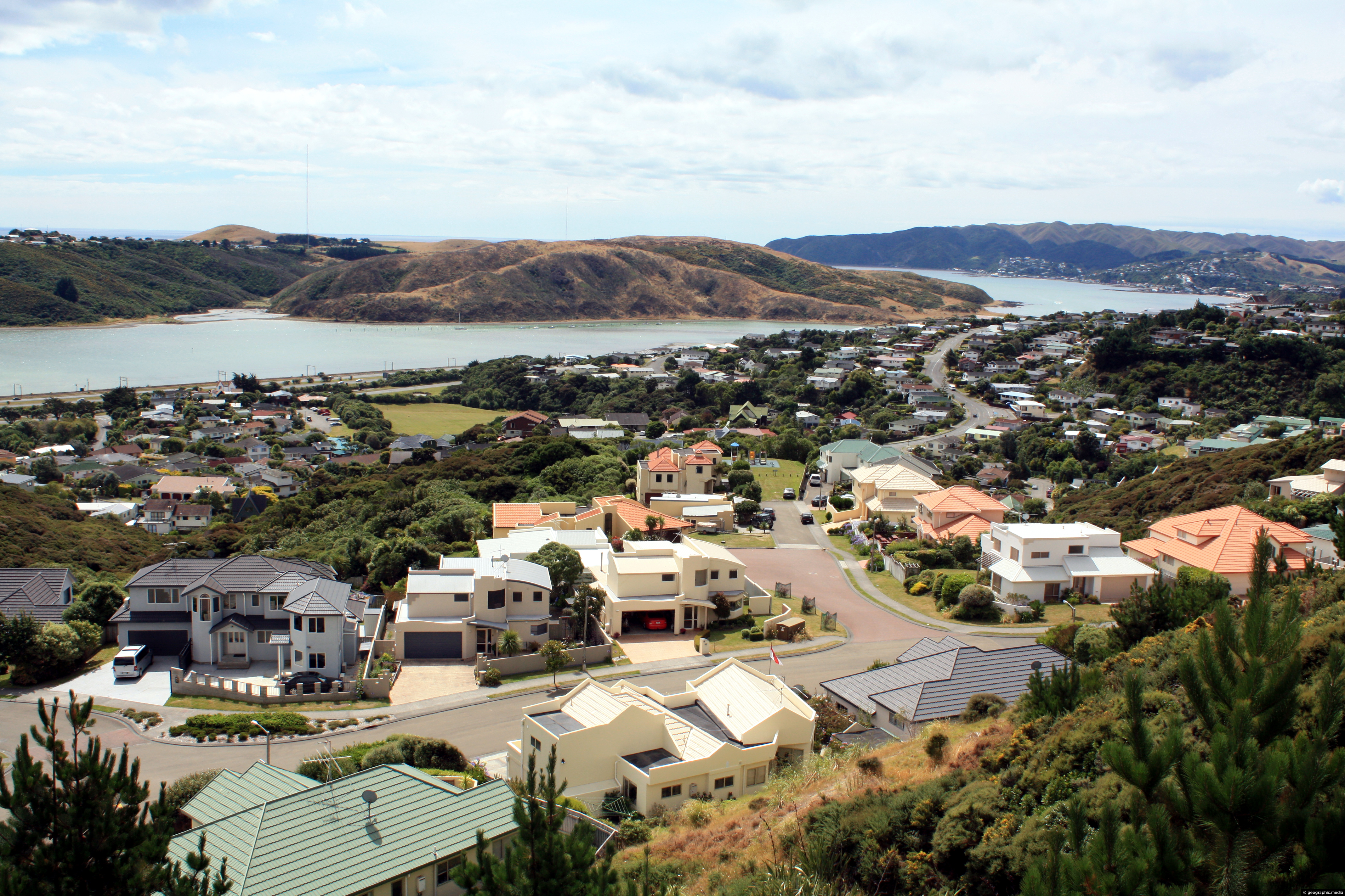
Porirua Harbour, and the suburb of Titahi Bay, with Mana Island in the background, as seen from the suburb of Papakowhai.
Click Jigshare icon to turn the image into a jigsaw. Or click on photo to download or view full screen image.

Porirua Harbour, and the suburb of Titahi Bay, with Mana Island in the background, as seen from the suburb of Papakowhai.
Raiha Walkway starts near Bunnings in Porirua and takes you close to the entrance of Colonial Knob Walkway.
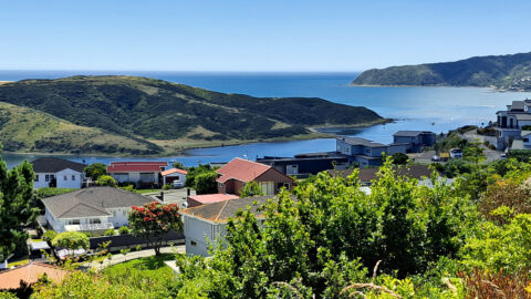
View of the entrance to Porirua Harbour as seen from the Porirua suburb of Papakowhai. The Pauatahanui Inlet arm...
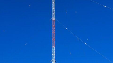
The Titahi Bay Transmitter stands at 137 meters tall. Five radio stations broadcast using this tower. It’s located in...
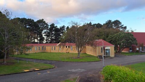
The Porirua Hospital Museum, housed in the historic F Ward built in 1909, is New Zealand’s only dedicated museum...
New homes in the Porirua suburb of Papakowhai in New Zealand. Porirua Harbour can be seen in the background....
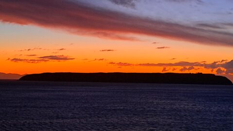
Stunning sunset over Mana Island in the Tasman Sea as seen from Titahi Bay in Porirua. The island is...
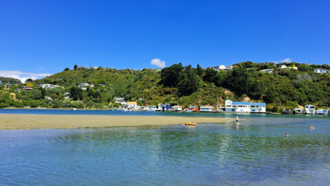
Pauatahanui Inlet at the Paremata end is a popular summer swimming spot. An adjacent car park, toilet facilities, and...
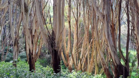
This walk passes through a small tract of eucalyptus trees within Spicer Park. The park contains a variety of...

