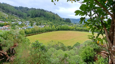
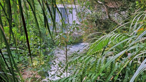
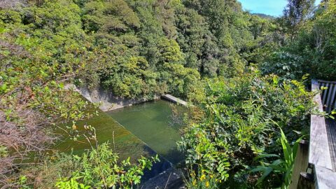
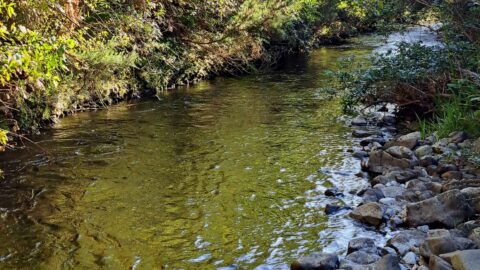
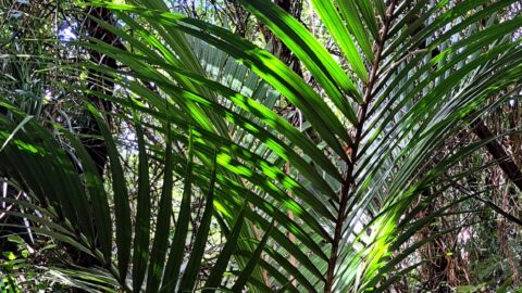
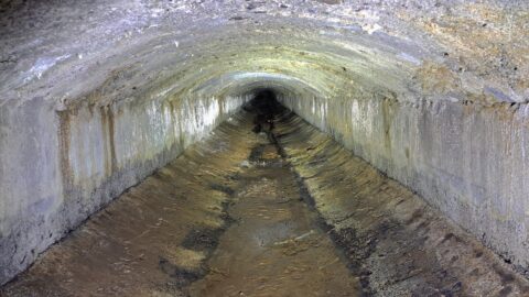
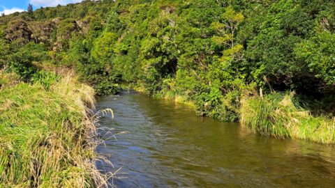
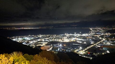
The Ōrongorongo River is a prominent waterway in the Wellington region of New Zealand, flowing from the Rimutaka Ranges to the southern coastline near Wainuiomata. Renowned for its pristine beauty, the river winds through rugged landscapes and dense native bush, forming a vital part of the area’s ecosystem. It is a popular destination for outdoor enthusiasts, offering opportunities for tramping, fishing, and camping, particularly in the Ōrongorongo Valley, which is part of the Remutaka Forest Park.
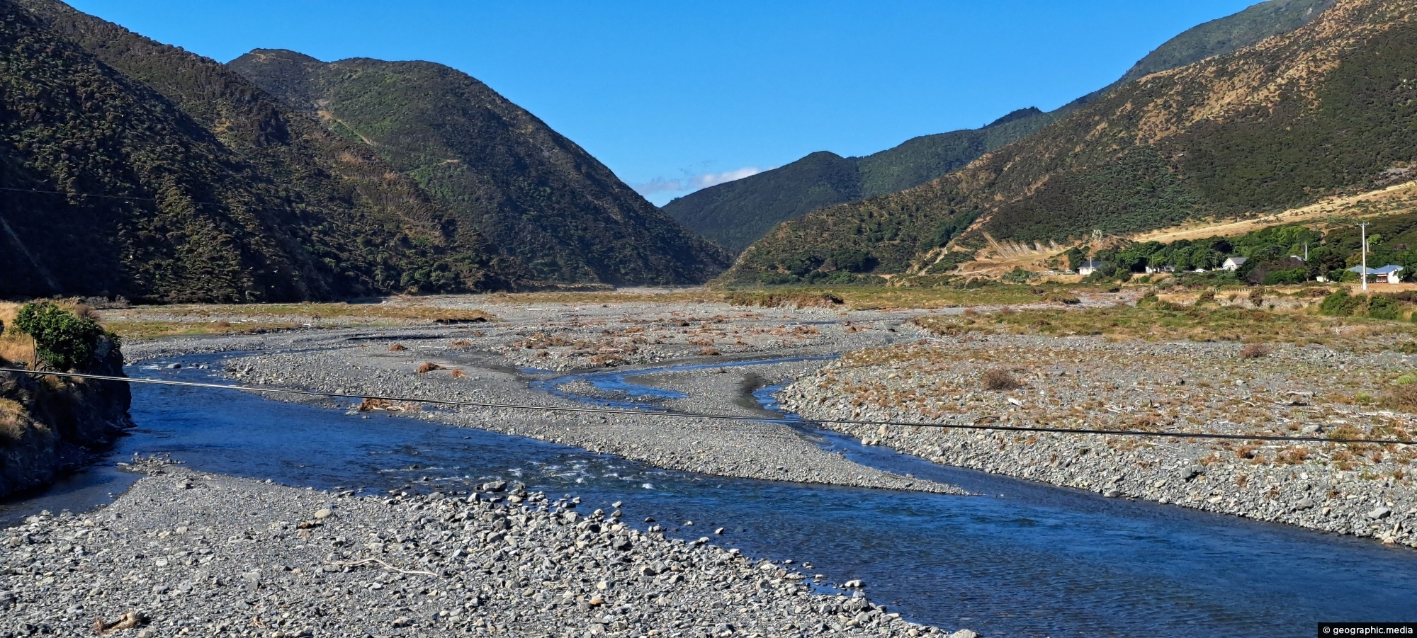
Ōrongorongo River
Page Views
This post has been viewed 692 times
Related Articles
-
Richard Prouse Park from The Rock
Wainuiomata photos, Extra Wide Horizontal, Mountains, Parks
Standing at the lookout on The Rock, you get a wide view across Richard Prouse Park and the surrounding...
-
Sunny Grove Wainuiomata
Wainuiomata photos, Extra Wide Horizontal, Forests, Homes, Mountains
View of Sunny Grove in Wainuiomata. While the street looks sunny in the photo, it is mostly quite shady...
-
Old Meter Hut
Wainuiomata photos, Abandoned, Extra Wide Horizontal, Tunnels
Hidden in the Wainuiomata bushline, this old meter hut once housed equipment used to measure water flow through the...
-
Wainuiomata River in Autumn
Wainuiomata photos, Autumn, Extra Wide Horizontal, Rivers
Tranquil beauty of the Wainuiomata River gracefully flowing through an Autumn landscape. Location is Hine Road Recreation Area.
-
Head of the Ōrongorongo Valley
Wainuiomata photos, Extra Wide Horizontal, Mountains, Rural
Looking towards the head of the Ōrongorongo Valley and into the Remutaka Range, as viewed from the coastal walk...
-
Pukeatua Bridge Wainuiomata
Wainuiomata photos, Bridges, Portrait / Vertical
Pukeatua Bridge in Wainuiomata crosses Wainuiomata Road at its highest point, 189 meters above sea level. This places the...
-
Wainuiomata River Near Coast Road
Wainuiomata photos, Extra Wide Horizontal, Rivers
View of the Wainuiomata River as seen from the Coast Road in Wainuiomata. The surrounding landscape here is parched...
-
Wainuiomata Road
Wainuiomata photos, Extra Wide Horizontal, Mountains, Roads
Wainuiomata Road is the sole public road leading into Wainuiomata, winding over the Eastern Hutt Hills into the Wainuiomata...
0 Comments
Popular Posts
- Awakening New Zealand video (100)
- Iguazu Falls as seen from Brazil (87)
- Metrocable Medellin (78)
- Pauatahanui Inlet (69)
- Spinnaker Hill View (69)
- Spinnaker Hill in Whitby Porirua (69)
- View from Whitby (68)
- The Devil’s Throat (63)
- Aerial View of Iguazu Falls (61)
- Porirua Harbour & Papakowhai (58)
- Lake Wakatipu (57)
- Salto Rivadavia & Iguassu River (56)
- Salto Rivadavia Misiones Province (54)
- Close up of Salto Rivadavia (54)
- Cascadas at Iguazu (54)
- Lake Tekapo & Lupins (54)
Subjects
AccommodationAnimalsArchitectureBeachesBirdsBoatsBridgesBuildingsCarsChurchesCitiesCoralCultureExtra Wide HorizontalFlowersForestsHarborsHomesIslandsLakesLandscape / HorizontalMapsMenMonumentsMountainsPalmsParksPeoplePlantsPortrait / VerticalRiversRoadsRuralSeaShopsSkyscrapersSnowSunsetsTownsTrailsTransportTreesVideosVolcanicWaterfalls
Recent Comments
- DavidJ on The True Size of Australia
- Anonymous on The True Size of Australia
- Lance on Concrete Hut Wainuiomata
- Tony on Concrete Hut Wainuiomata
- DavidJ on Wellington Night Skyline