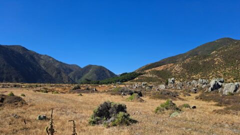
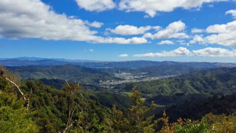
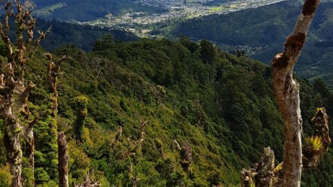
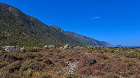
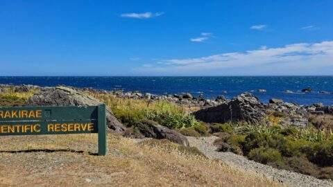
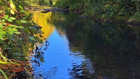
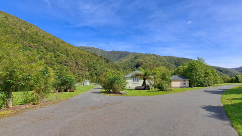
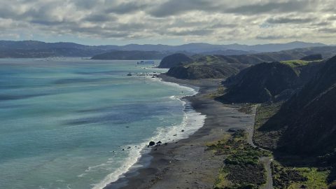
Ōrongorongo Station is a large and historic rural property located near the southern end of Coast Road in Wainuiomata, bordering the Turakirae Head Scientific Reserve. It spans thousands of hectares and includes farmland, native bush, and coastal areas. The station has been used primarily for sheep and cattle farming, but it also plays a role in conservation efforts due to its proximity to protected areas.
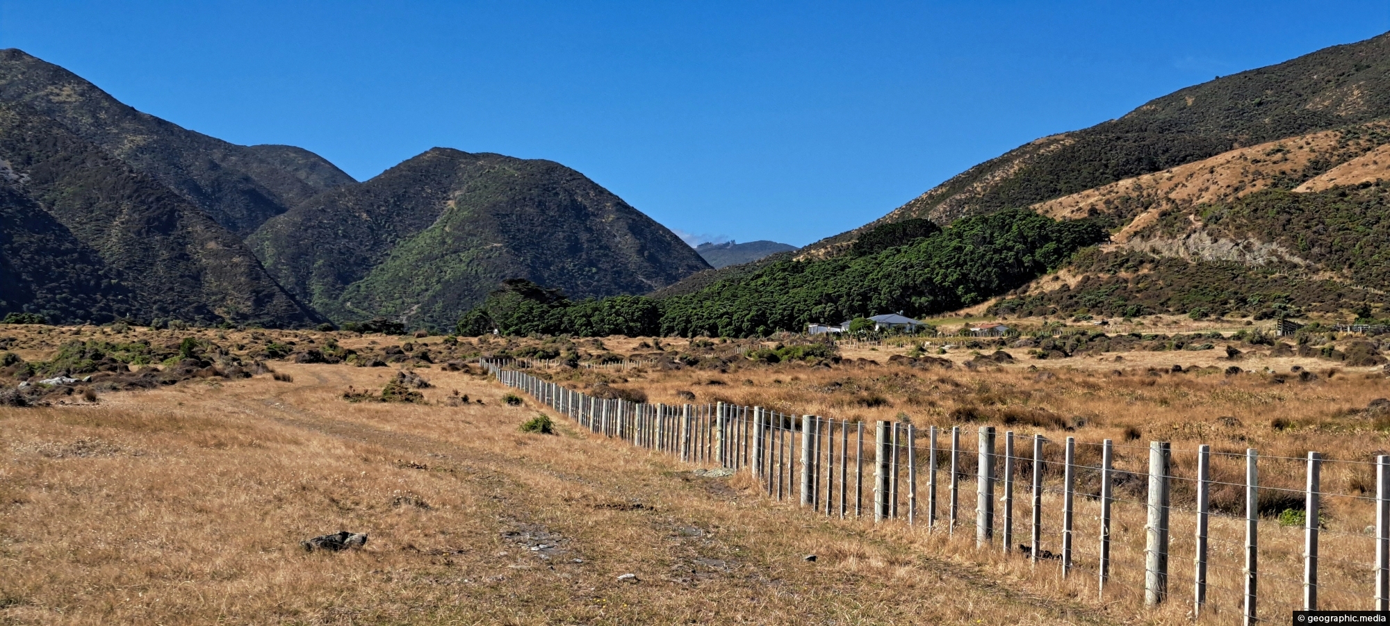
Ōrongorongo Station
Page Views
This post has been viewed 703 times
Related Articles
-
Wainuiomata River Lower Reaches
Wainuiomata photos, Extra Wide Horizontal, Rivers
View of the lower reaches of Wainuiomata River in New Zealand’s Wellington Region. The upper reaches of this river...
-
Wainuiomata River and Native Forest
Wainuiomata photos, Extra Wide Horizontal, Ferns, Forests, Rivers
Peering through native forest at the Wainuiomata River below. The hill in the background is a foothill in the...
-
Coast Road and Lighthouse Bridge
Wainuiomata photos, Bridges, Extra Wide Horizontal, Rivers, Rural, Sea
Looking along Coast Road near the southern coastline, with Lighthouse Bridge in view as it spans the Wainuiomata River.
-
Wainuiomata River Near Coast Road
Wainuiomata photos, Extra Wide Horizontal, Rivers
View of the Wainuiomata River as seen from the Coast Road in Wainuiomata. The surrounding landscape here is parched...
-
Upstream Wainuiomata River
Wainuiomata photos, Portrait / Vertical, Rivers
The view of Wainuiomata River near Sledge Track Pool, a natural swimming area. About 100 metres upstream from here,...
-
Hine Road Recreation Area
Wainuiomata photos, Extra Wide Horizontal, Parks
Hine Road Recreation Area, formerly referred to as The Meadow by some, it comprised paddocks hosting grazing horses during...
-
Coast Road and Wainuiomata River
Wainuiomata photos, Extra Wide Horizontal, Rivers, Roads, Rural, Sea
Coast Road and Wainuiomata River in view. Near the horizon is the Cook Strait, a body of water between...
-
Wainuiomata Valley from the Remutaka
Wainuiomata photos, Forests, Portrait / Vertical, Trees
View of the Wainuiomata Valley as seen from the Remutaka Range, the last mountain range in the North Island.
0 Comments
Popular Posts
- Awakening New Zealand video (100)
- Iguazu Falls as seen from Brazil (87)
- Metrocable Medellin (78)
- Pauatahanui Inlet (69)
- Spinnaker Hill View (69)
- Spinnaker Hill in Whitby Porirua (69)
- View from Whitby (68)
- The Devil’s Throat (63)
- Aerial View of Iguazu Falls (61)
- Porirua Harbour & Papakowhai (58)
- Lake Wakatipu (57)
- Salto Rivadavia & Iguassu River (56)
- Salto Rivadavia Misiones Province (54)
- Close up of Salto Rivadavia (54)
- Cascadas at Iguazu (54)
- Lake Tekapo & Lupins (54)
Subjects
AccommodationAnimalsArchitectureBeachesBirdsBoatsBridgesBuildingsCarsChurchesCitiesCoralCultureExtra Wide HorizontalFlowersForestsHarborsHomesIslandsLakesLandscape / HorizontalMapsMenMonumentsMountainsPalmsParksPeoplePlantsPortrait / VerticalRiversRoadsRuralSeaShopsSkyscrapersSnowSunsetsTownsTrailsTransportTreesVideosVolcanicWaterfalls
Recent Comments
- DavidJ on The True Size of Australia
- Anonymous on The True Size of Australia
- Lance on Concrete Hut Wainuiomata
- Tony on Concrete Hut Wainuiomata
- DavidJ on Wellington Night Skyline