These remnants are believed to be part of a power generator that was used during the construction of the Morton Dam in Wainuiomata. Construction of the Morton Dam in Wainuiomata commenced in 1908 and was completed in 1911.
ALL / Explore Oceania / Explore New Zealand / New Zealand Photos / Wainuiomata photos / Remains of a Power Generator
All original royalty-free photos, shareable maps, and informative articles.
Remains of a Power Generator
Page Views
This post has been viewed 611 times
Related Articles
-
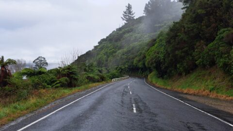
Moores Valley Road in Mist
Wainuiomata photos, Extra Wide Horizontal, fog, Mountains, Roads
Moores Valley Road on a misty winter’s day in Wainuiomata presents a picturesque scene. One of the oldest roads...
-
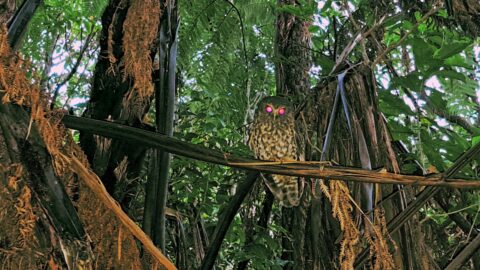
Morepork Owl
Wainuiomata photos, Animals, Extra Wide Horizontal, Forests
Observing a morepork (ruru), commonly referred to as the brown owl. Indigenous to New Zealand and Norfolk Island, this...
-
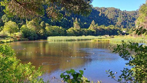
Lower Dam Wetland
Wainuiomata photos, Extra Wide Horizontal, Parks, Trees
The Lower Dam Wetland is the shallow wetland area formed behind the historic Lower Dam in Wainuiomata Regional Park....
-
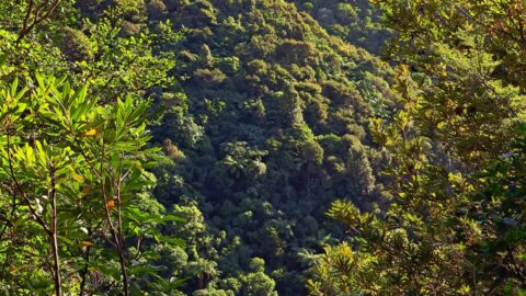
Nikau Creek Valley View
Wainuiomata photos, Forests, Portrait / Vertical
View of Nikau Creek Valley in Wainuiomata from high up one of the gully walls. Over the hill ahead...
-
Hillside Beech Forest
Wainuiomata photos, Extra Wide Horizontal, Rivers
A beech forest sits atop a spur descending towards a creek within the lowland broadleaf forest below. Broadleaf forest...
-
Coastline prior to the 1855 Wairarapa earthquake
Wainuiomata photos, Beaches, Extra Wide Horizontal
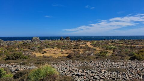
This view shows rocks that once formed the coastline prior to the 1855 Wairarapa earthquake. The powerful 8.2 magnitude...
-
Sunny Grove Wainuiomata
Wainuiomata photos, Extra Wide Horizontal, Forests, Homes, Mountains
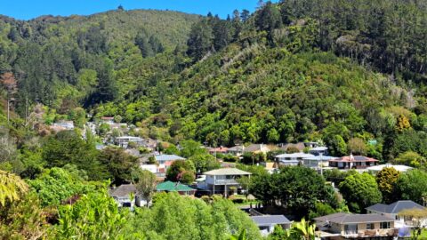
View of Sunny Grove in Wainuiomata. While the street looks sunny in the photo, it is mostly quite shady...
-
Turakirae Head Sign
Wainuiomata photos, Beaches, Extra Wide Horizontal
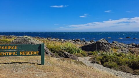
A sign notifying walkers that they are entering the Turakirae Head Scientific Reserve. Situated on the southern coast of...
0 Comments
Popular Posts
- Awakening New Zealand video (100)
- Iguazu Falls as seen from Brazil (87)
- Metrocable Medellin (78)
- Pauatahanui Inlet (69)
- Spinnaker Hill View (69)
- Spinnaker Hill in Whitby Porirua (69)
- View from Whitby (68)
- The Devil’s Throat (63)
- Aerial View of Iguazu Falls (61)
- Porirua Harbour & Papakowhai (58)
- Lake Wakatipu (57)
- Salto Rivadavia & Iguassu River (56)
- Salto Rivadavia Misiones Province (54)
- Close up of Salto Rivadavia (54)
- Cascadas at Iguazu (54)
- Lake Tekapo & Lupins (54)
Subjects
AccommodationAnimalsArchitectureBeachesBirdsBoatsBridgesBuildingsCarsChurchesCitiesCoralCultureExtra Wide HorizontalFlowersForestsHarborsHomesIslandsLakesLandscape / HorizontalMapsMenMonumentsMountainsPalmsParksPeoplePlantsPortrait / VerticalRiversRoadsRuralSeaShopsSkyscrapersSnowSunsetsTownsTrailsTransportTreesVideosVolcanicWaterfalls
Recent Comments
- DavidJ on The True Size of Australia
- Anonymous on The True Size of Australia
- Lance on Concrete Hut Wainuiomata
- Tony on Concrete Hut Wainuiomata
- DavidJ on Wellington Night Skyline