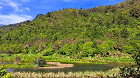
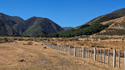
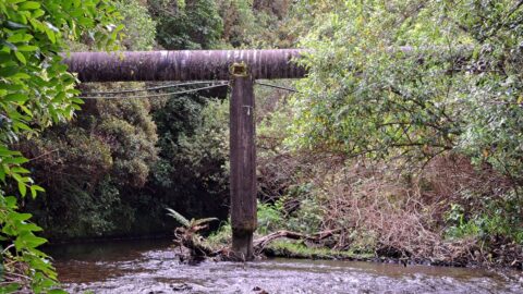
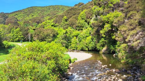
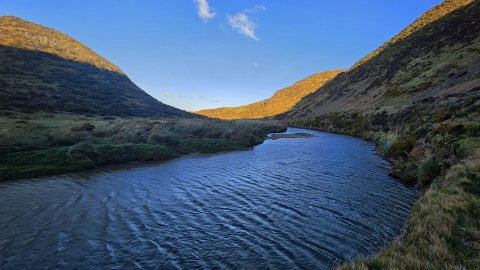
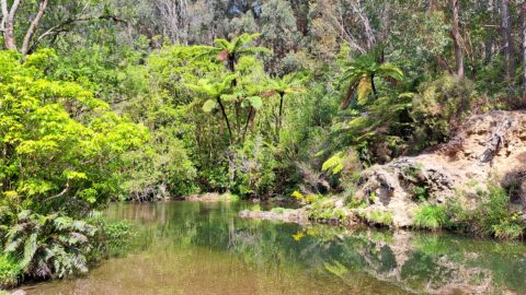
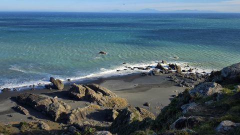
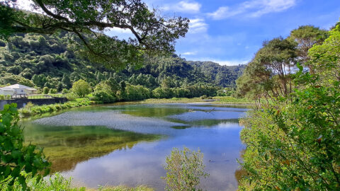
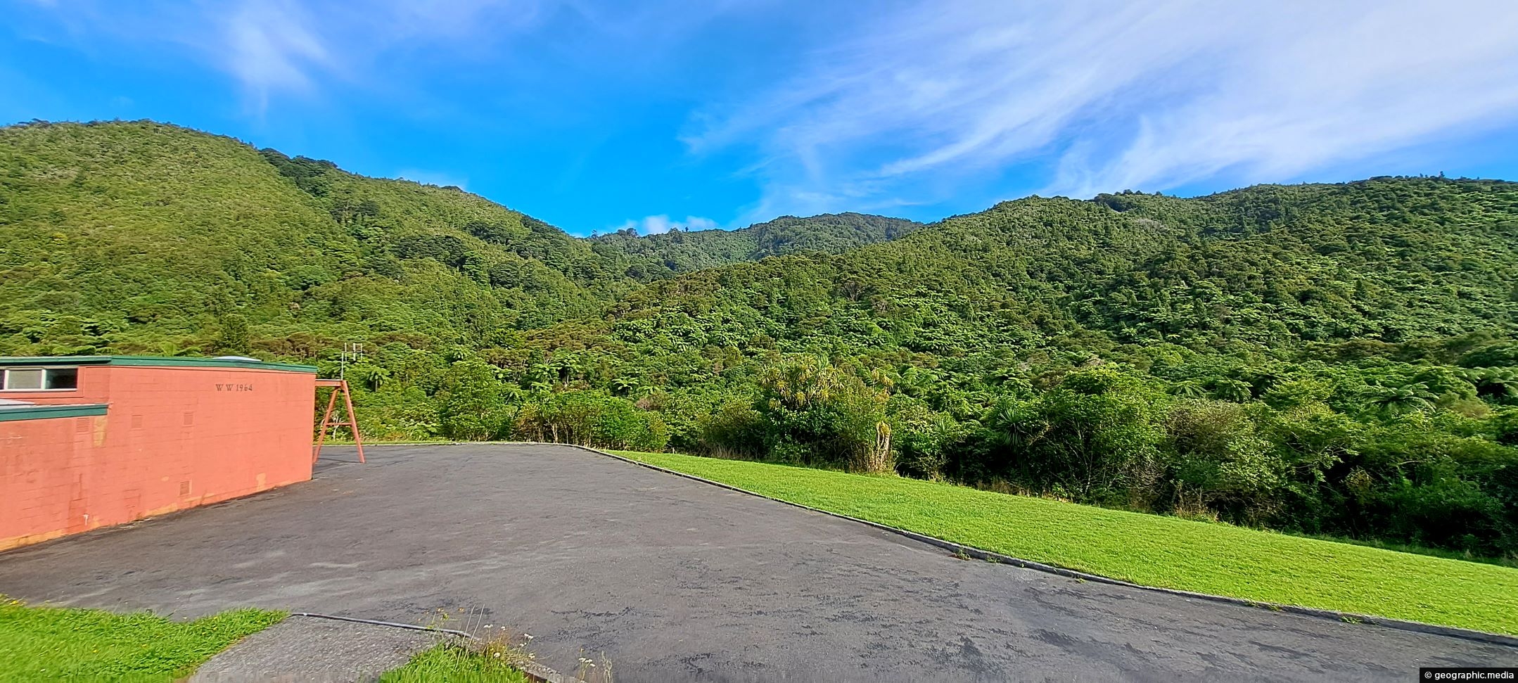
This building was constructed in 1964. It was part of the Wainuiomata Waterworks that supplied Wellington city with water. Water for Wellington is now drawn elsewhere and many such buildings are no longer in use. The waterworks still supplies around a fifth of Wellington’s water however.
ALL / Explore Oceania / Explore New Zealand / New Zealand Photos / Wainuiomata photos / Waterworks Building in Wainuiomata
All original royalty-free photos, shareable maps, and informative articles.
Waterworks Building in Wainuiomata
Page Views
This post has been viewed 874 times
Related Articles
-
Autumn at Queen Street Reserve
Wainuiomata photos, Autumn, Portrait / Vertical
Autumn colors at Queen Street Reserve in the heart of Wainuiomata. The reserve is bounded by Queen Street, Fitzherbert...
-
Hine Road Recreation Reserve Bridge
Wainuiomata photos, Bridges, Portrait / Vertical, Rivers
The construction of Hine Road Recreation Reserve Bridge dates back to 1989. It provides passage to Top Pool Bridge,...
-
View of Wellington from Wainuiomata Regional Park
Wainuiomata photos, Cities, Extra Wide Horizontal, Forests, Harbors, Mountains
From the peaks of Wainuiomata Regional Park the views are astounding. You can see Wellington Harbour and the city.
-
Fitzroy Bay and South Coast
Wainuiomata photos, Beaches, Boats, Extra Wide Horizontal, Rural, Sea
Looking down over Fitzroy Bay and along the south coast of the North Island, with the Interislander ferry visible...
-
Aerial view of Wainuiomata
Wainuiomata photos, Cities, Extra Wide Horizontal, Mountains
This bird’s-eye perspective of Wainuiomata illustrates how the suburb resides within its unique valley, distinct from the broader Hutt...
-
Remains of a Power Generator
Wainuiomata photos, Extra Wide Horizontal, Forests
These remnants are believed to be part of a power generator that was used during the construction of the...
-
Wainuiomata River Flowing South
Wainuiomata photos, Extra Wide Horizontal, Rivers
View south along the Wainuiomata River towards the coastline, with the shadow of Para Hill falling across the right-hand...
-
Pukeatua Bridge Wainuiomata
Wainuiomata photos, Bridges, Portrait / Vertical
Pukeatua Bridge in Wainuiomata crosses Wainuiomata Road at its highest point, 189 meters above sea level. This places the...
0 Comments
Popular Posts
- Awakening New Zealand video (100)
- Iguazu Falls as seen from Brazil (87)
- Metrocable Medellin (78)
- Pauatahanui Inlet (69)
- Spinnaker Hill View (69)
- Spinnaker Hill in Whitby Porirua (69)
- View from Whitby (68)
- The Devil’s Throat (63)
- Aerial View of Iguazu Falls (61)
- Porirua Harbour & Papakowhai (58)
- Lake Wakatipu (57)
- Salto Rivadavia & Iguassu River (56)
- Salto Rivadavia Misiones Province (54)
- Close up of Salto Rivadavia (54)
- Cascadas at Iguazu (54)
- Lake Tekapo & Lupins (54)
Subjects
AccommodationAnimalsArchitectureBeachesBirdsBoatsBridgesBuildingsCarsChurchesCitiesCoralCultureExtra Wide HorizontalFlowersForestsHarborsHomesIslandsLakesLandscape / HorizontalMapsMenMonumentsMountainsPalmsParksPeoplePlantsPortrait / VerticalRiversRoadsRuralSeaShopsSkyscrapersSnowSunsetsTownsTrailsTransportTreesVideosVolcanicWaterfalls
Recent Comments
- DavidJ on The True Size of Australia
- Anonymous on The True Size of Australia
- Lance on Concrete Hut Wainuiomata
- Tony on Concrete Hut Wainuiomata
- DavidJ on Wellington Night Skyline