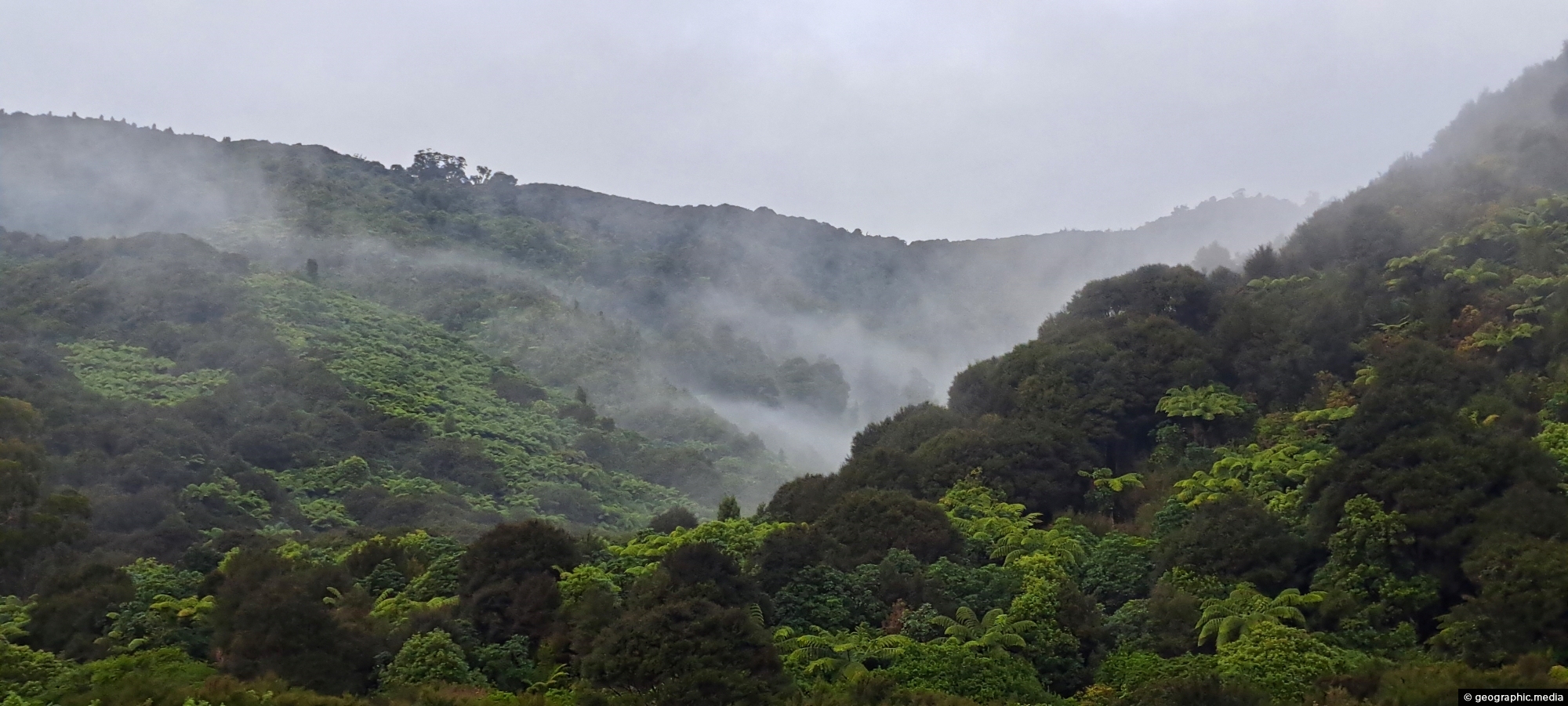
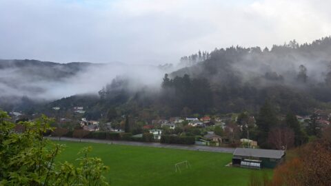
A misty day at Nikau Creek Valley in Wainuiomata Regional Park offers a striking view. During winter, Wainuiomata occasionally experiences spectacular misty days when there is no wind.
ALL / Explore Oceania / Explore New Zealand / New Zealand Photos / Wainuiomata photos / Nikau Creek Valley & Mist
All original royalty-free photos, shareable maps, and informative articles.
Nikau Creek Valley & Mist
Page Views
This post has been viewed 596 times
Related Articles
-
Richard Prouse Park & Harry Todd Reserve
Wainuiomata photos, Extra Wide Horizontal, fog, Mountains, Parks
Looking at Richard Prouse Park in Wainuiomata with a misty Harry Todd Reserve in the background hills behind Hine...
-
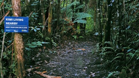
Sledge Track and Kiwi Sign
Wainuiomata photos, Forests, Portrait / Vertical, Trails
Sledge Track Creek in Wainuiomata is a habitat for kiwi, New Zealand’s national bird. These flightless and endangered birds...
-
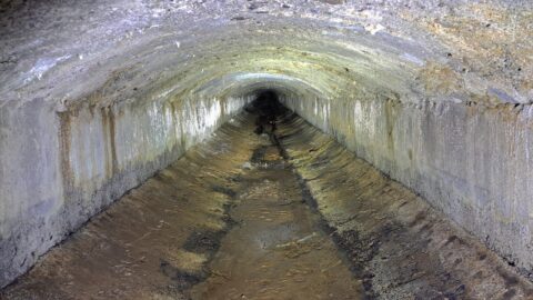
Wainuiomata Water Race
Wainuiomata photos, Abandoned, Extra Wide Horizontal, Tunnels
The Wainuiomata water race is a two kilometre long concrete tunnel / closed race built in the early 1880s...
-
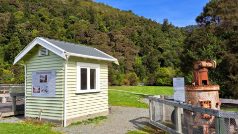
Old Shed and Machine Parts at the Waterworks Museum
Wainuiomata photos, Extra Wide Horizontal, Forests
Looking at a shed that housed a machine that aided in supplying water to the Wellington region. Today this...
-
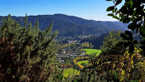
Homedale Wainuiomata View
Wainuiomata photos, Aerial, Extra Wide Horizontal, Mountains, Parks
View from atop a hill in Wainuiomata Regional Park looking west at Homedale. You can see Hine Road Recreation...
-
Turakirae Head Scientific Reserve
Wainuiomata photos, Beaches, Extra Wide Horizontal
Turakirae Head Scientific Reserve located on the southern coast of Wainuiomata in New Zealand, is renowned for its geological...
-
Wainuiomata Lower Dam
Wainuiomata photos, Extra Wide Horizontal, Forests, Wetlands
View of the decommissioned Wainuiomata Lower Dam (named Morton Dam). This dam once supplied water to Wellington along with...
-
Eastern Edge of the Remutaka Range
Wainuiomata photos, Extra Wide Horizontal, Mountains
This view captures the eastern edge of the Remutaka Range in Palliser Bay, which can be accessed either via...
0 Comments
Popular Posts
- Awakening New Zealand video (100)
- Iguazu Falls as seen from Brazil (87)
- Metrocable Medellin (78)
- Pauatahanui Inlet (69)
- Spinnaker Hill View (69)
- Spinnaker Hill in Whitby Porirua (69)
- View from Whitby (68)
- The Devil’s Throat (63)
- Aerial View of Iguazu Falls (61)
- Porirua Harbour & Papakowhai (58)
- Lake Wakatipu (57)
- Salto Rivadavia & Iguassu River (56)
- Salto Rivadavia Misiones Province (54)
- Close up of Salto Rivadavia (54)
- Cascadas at Iguazu (54)
- Lake Tekapo & Lupins (54)
Subjects
AccommodationAnimalsArchitectureBeachesBirdsBoatsBridgesBuildingsCarsChurchesCitiesCoralCultureExtra Wide HorizontalFlowersForestsHarborsHomesIslandsLakesLandscape / HorizontalMapsMenMonumentsMountainsPalmsParksPeoplePlantsPortrait / VerticalRiversRoadsRuralSeaShopsSkyscrapersSnowSunsetsTownsTrailsTransportTreesVideosVolcanicWaterfalls
Recent Comments
- DavidJ on The True Size of Australia
- Anonymous on The True Size of Australia
- Lance on Concrete Hut Wainuiomata
- Tony on Concrete Hut Wainuiomata
- DavidJ on Wellington Night Skyline