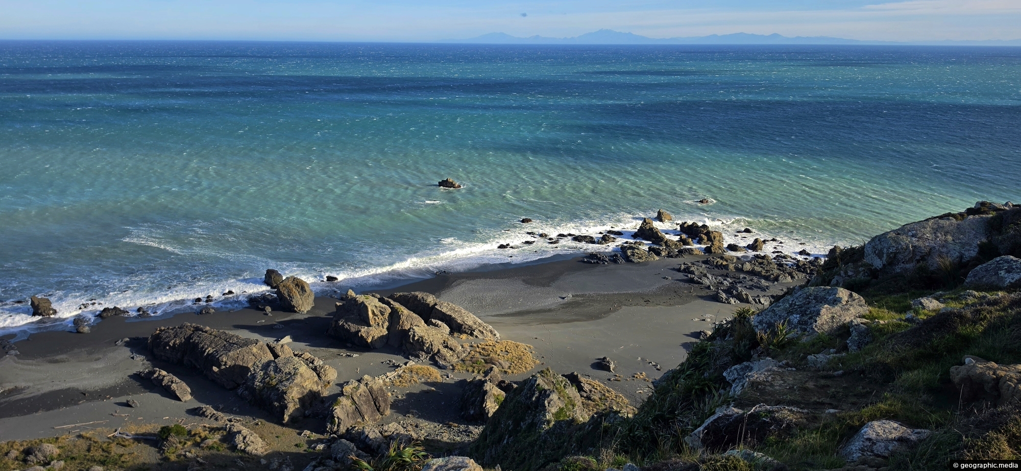
Looking down at the rugged coastline below Baring Head on the south coast of Wainuiomata. From this elevated position, the wild character of the area is clear, with steep coastal land dropping towards the shore, exposed grey sand and shingle, and Cook Strait stretching out beyond the headland.
Baring Head Coast
Page Views
This post has been viewed 118 times
Related Articles
-
Turakirae Head Sign
Wainuiomata photos, Beaches, Extra Wide Horizontal
A sign notifying walkers that they are entering the Turakirae Head Scientific Reserve. Situated on the southern coast of...
-
Coast Road Church in Wainuiomata
Wainuiomata photos, Churches, Extra Wide Horizontal
The historic Coast Road Church in Wainuiomata is one of the valley’s oldest surviving buildings and the oldest original...
-
Coast Road Wainuiomata
Wainuiomata photos, Extra Wide Horizontal, Roads
Looking at the southern end of the Coast Road in Wainuiomata as you head to the south coast. It’s...
-
Ōrongorongo Station
Wainuiomata photos, Extra Wide Horizontal, Mountains, Rural
Ōrongorongo Station is a large and historic rural property located near the southern end of Coast Road in Wainuiomata,...
-
Native Bush Vista Wainuiomata
Wainuiomata photos, Extra Wide Horizontal, Forests
Looking at hills covered in native bush in one the largest areas of lowland native forests in the lower...
-
Ōrongorongo River
Wainuiomata photos, Extra Wide Horizontal, Mountains, Rivers
The Ōrongorongo River is a prominent waterway in the Wellington region of New Zealand, flowing from the Rimutaka Ranges...
-
Wainuiomata Water Race
Wainuiomata photos, Abandoned, Extra Wide Horizontal, Tunnels
The Wainuiomata water race is a two kilometre long concrete tunnel / closed race built in the early 1880s...
-
Wainuiomata Recreational Area Wetlands
Wainuiomata photos, Extra Wide Horizontal, Forests, Wetlands
The decommissioned Wainuiomata Lower Dam which once supplied water to Wellington is now a natural wetland.
0 Comments
Popular Posts
- Awakening New Zealand video (100)
- Iguazu Falls as seen from Brazil (87)
- Metrocable Medellin (78)
- Pauatahanui Inlet (69)
- Spinnaker Hill View (69)
- Spinnaker Hill in Whitby Porirua (69)
- View from Whitby (68)
- The Devil’s Throat (63)
- Aerial View of Iguazu Falls (61)
- Porirua Harbour & Papakowhai (58)
- Lake Wakatipu (57)
- Salto Rivadavia & Iguassu River (56)
- Salto Rivadavia Misiones Province (54)
- Close up of Salto Rivadavia (54)
- Cascadas at Iguazu (54)
- Lake Tekapo & Lupins (54)
Subjects
AccommodationAnimalsArchitectureBeachesBirdsBoatsBridgesBuildingsCarsChurchesCitiesCoralCultureExtra Wide HorizontalFlowersForestsHarborsHomesIslandsLakesLandscape / HorizontalMapsMenMonumentsMountainsPalmsParksPeoplePlantsPortrait / VerticalRiversRoadsRuralSeaShopsSkyscrapersSnowSunsetsTownsTrailsTransportTreesVideosVolcanicWaterfalls
Recent Comments
- DavidJ on The True Size of Australia
- Anonymous on The True Size of Australia
- Lance on Concrete Hut Wainuiomata
- Tony on Concrete Hut Wainuiomata
- DavidJ on Wellington Night Skyline