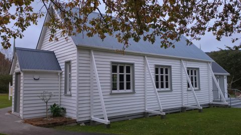
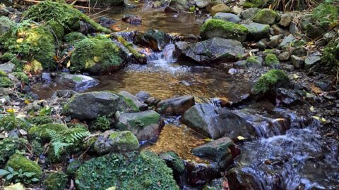
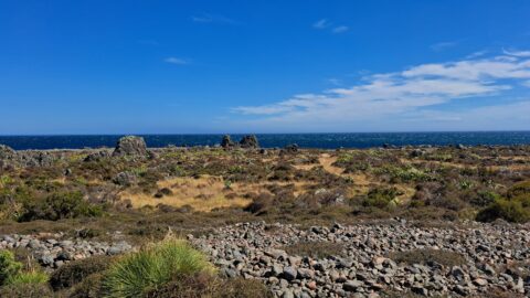
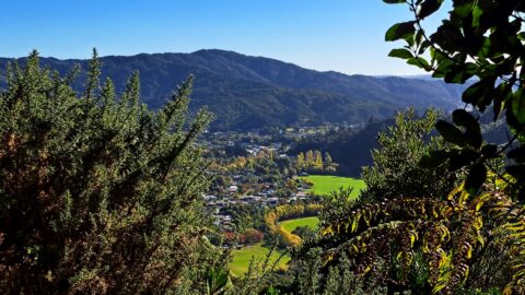
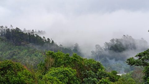
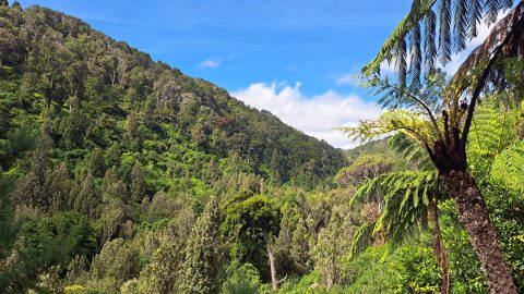
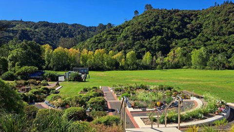
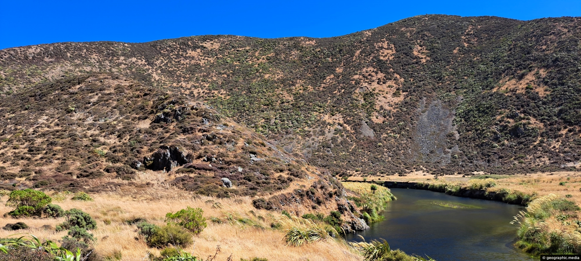
View of the Wainuiomata River as seen from the Coast Road in Wainuiomata. The surrounding landscape here is parched due to being taken in the summer month of February.
ALL / Explore Oceania / Explore New Zealand / New Zealand Photos / Wainuiomata photos / Wainuiomata River Near Coast Road
All original royalty-free photos, shareable maps, and informative articles.
Wainuiomata River Near Coast Road
Page Views
This post has been viewed 672 times
Related Articles
-
Bruce’s Track in Wainuiomata
Wainuiomata photos, Extra Wide Horizontal, Parks, Tracks, Trees
Large trees along the permitter of Bruce’s Track in Wainuiomata. This track connects with both Mount Crowther Track and...
-
Fitzroy Bay and South Coast
Wainuiomata photos, Beaches, Boats, Extra Wide Horizontal, Rural, Sea
Looking down over Fitzroy Bay and along the south coast of the North Island, with the Interislander ferry visible...
-
Wainuiomata River Flowing South
Wainuiomata photos, Extra Wide Horizontal, Rivers
View south along the Wainuiomata River towards the coastline, with the shadow of Para Hill falling across the right-hand...
-
Richard Prouse Park Tunnel
Wainuiomata photos, Abandoned, Extra Wide Horizontal, Tunnels
The Richard Prouse Park Tunnel (once known as Colemans Tunnel) was constructed between 1881 and 1882. It is situated...
-
Lower Wainuiomata River
Wainuiomata photos, Extra Wide Horizontal, Rivers, Roads, Rural, Sea
Looking across the southern section of the Wainuiomata River before it flows beyond the south coast and out into...
-
Ōrongorongo Station
Wainuiomata photos, Extra Wide Horizontal, Mountains, Rural
Ōrongorongo Station is a large and historic rural property located near the southern end of Coast Road in Wainuiomata,...
-
Wainuiomata Coastline
Wainuiomata photos, Beaches, Extra Wide Horizontal, Sea
Wainuiomata has a rugged, windswept coastline with grey sand and wild coastal conditions. Pictured is the mouth of the...
-
Lower Dam Wetland
Wainuiomata photos, Extra Wide Horizontal, Parks, Trees
The Lower Dam Wetland is the shallow wetland area formed behind the historic Lower Dam in Wainuiomata Regional Park....
0 Comments
Popular Posts
- Awakening New Zealand video (100)
- Iguazu Falls as seen from Brazil (87)
- Metrocable Medellin (78)
- Pauatahanui Inlet (69)
- Spinnaker Hill View (69)
- Spinnaker Hill in Whitby Porirua (69)
- View from Whitby (68)
- The Devil’s Throat (63)
- Aerial View of Iguazu Falls (61)
- Porirua Harbour & Papakowhai (58)
- Lake Wakatipu (57)
- Salto Rivadavia & Iguassu River (56)
- Salto Rivadavia Misiones Province (54)
- Close up of Salto Rivadavia (54)
- Cascadas at Iguazu (54)
- Lake Tekapo & Lupins (54)
Subjects
AccommodationAnimalsArchitectureBeachesBirdsBoatsBridgesBuildingsCarsChurchesCitiesCoralCultureExtra Wide HorizontalFlowersForestsHarborsHomesIslandsLakesLandscape / HorizontalMapsMenMonumentsMountainsPalmsParksPeoplePlantsPortrait / VerticalRiversRoadsRuralSeaShopsSkyscrapersSnowSunsetsTownsTrailsTransportTreesVideosVolcanicWaterfalls
Recent Comments
- DavidJ on The True Size of Australia
- Anonymous on The True Size of Australia
- Lance on Concrete Hut Wainuiomata
- Tony on Concrete Hut Wainuiomata
- DavidJ on Wellington Night Skyline