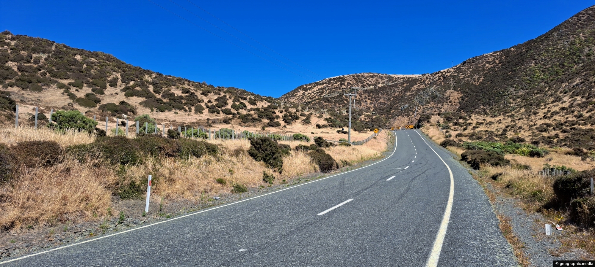
Looking at the southern end of the Coast Road in Wainuiomata as you head to the south coast. It’s February, so the landscape is dry.
Click Jigshare icon to turn the image into a jigsaw. Or click on photo to download or view full screen image.

Looking at the southern end of the Coast Road in Wainuiomata as you head to the south coast. It’s February, so the landscape is dry.
Looking down into Skerretts Gully, just above the site where a Kittyhawk aircraft crashed in 1943. Wreckage from the...
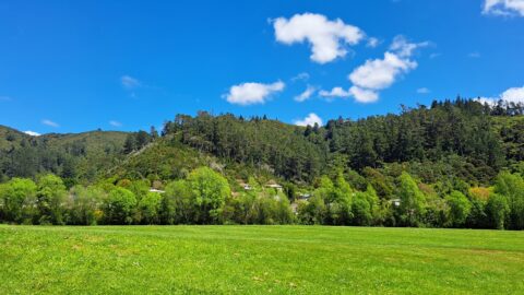
A sunny day at Richard Prouse Park in Wainuiomata looking toward Hine Road and Sunny Grove. The hills are...
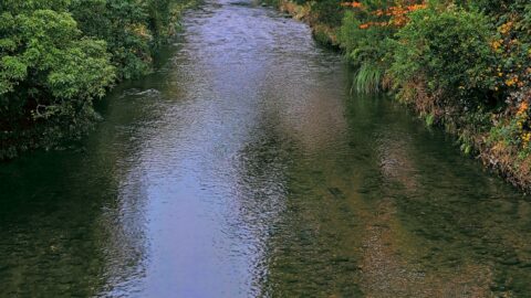
Autumn colors at Wainuiomata River, viewed from Main Road Bridge. The river, the principal waterway of Wainuiomata, flows through...
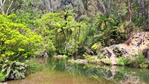
Ultimate Pool is further up Wainuiomata River from Top Pool. Access is gained via Reservoir Road or Gums Loop...
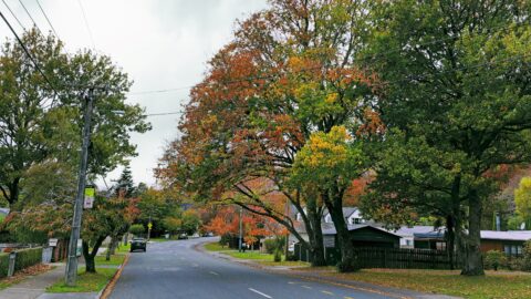
Hine Road street trees out on quite the show during autumn. The region where this street lies was once...
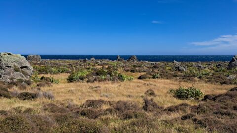
Turakirae Head Scientific Reserve located on the southern coast of Wainuiomata in New Zealand, is renowned for its geological...
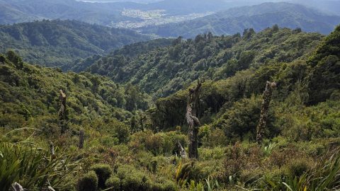
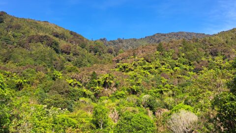
Looking at a forested foothill in the Remutaka Range. The Lower Hutt suburb of Wainuiomata is set below these...
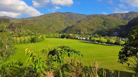
Standing at the lookout on The Rock, you get a wide view across Richard Prouse Park and the surrounding...
