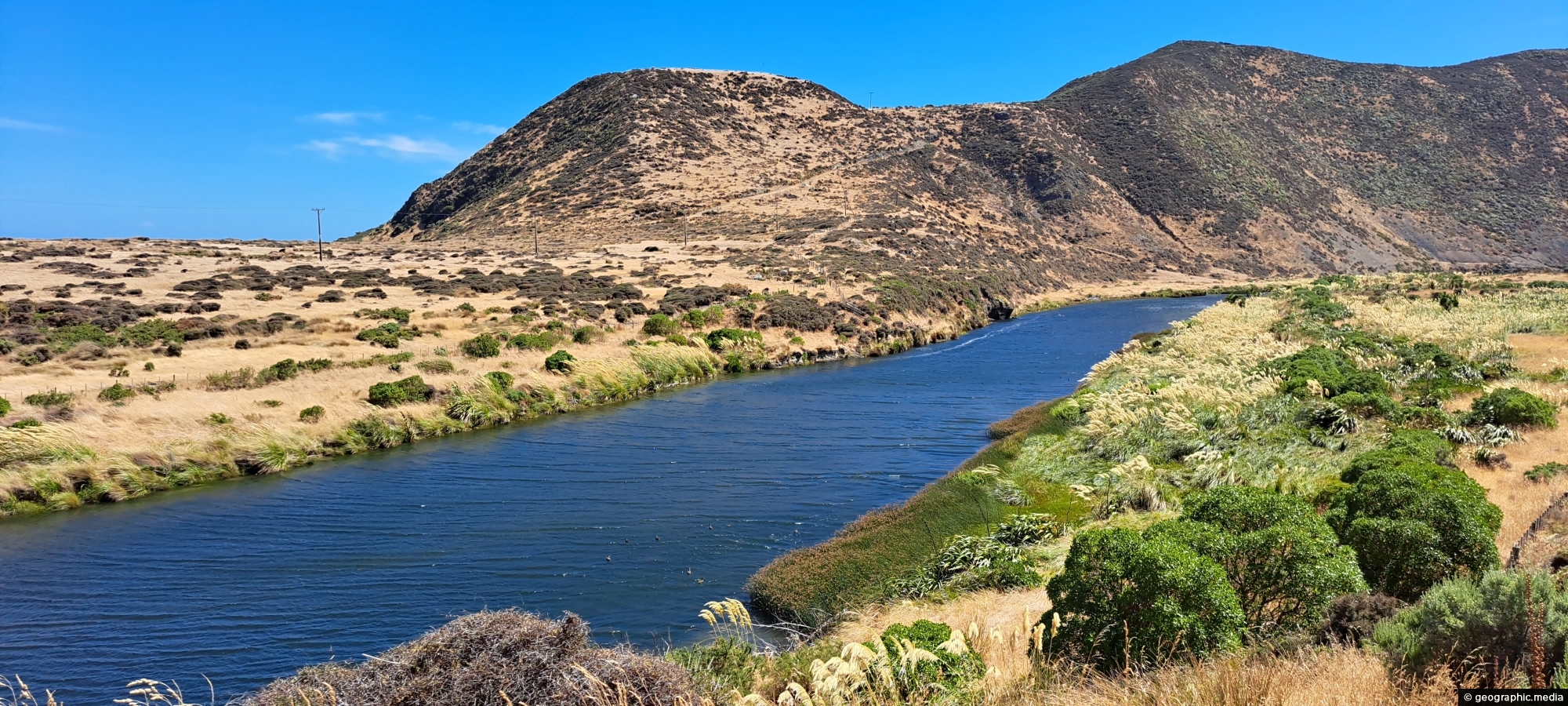
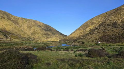
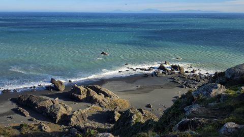
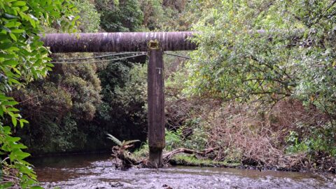
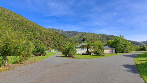
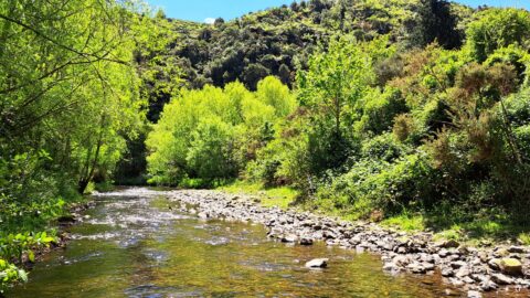
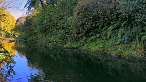
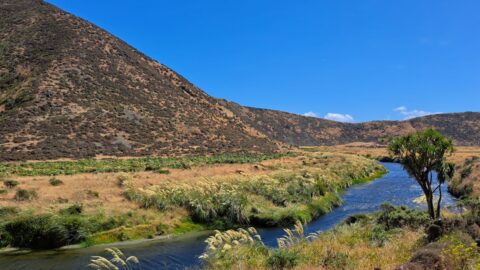
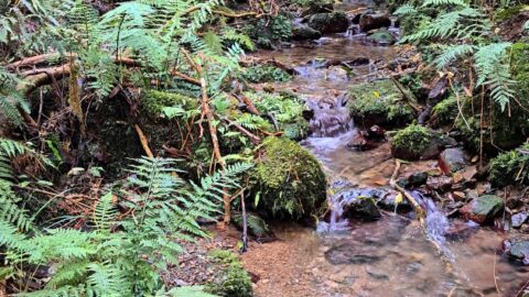
View of the lower reaches of Wainuiomata River in New Zealand’s Wellington Region. The upper reaches of this river is a source of drinking water for Wellington City.
ALL / Explore Oceania / Explore New Zealand / New Zealand Photos / Wainuiomata photos / Wainuiomata River Lower Reaches
All original royalty-free photos, shareable maps, and informative articles.
Wainuiomata River Lower Reaches
Page Views
This post has been viewed 2,622 times
Related Articles
-
Wainuiomata Recreational Area Wetlands
Wainuiomata photos, Extra Wide Horizontal, Forests, Wetlands
The decommissioned Wainuiomata Lower Dam which once supplied water to Wellington is now a natural wetland.
-
Wainuiomata River and Native Forest
Wainuiomata photos, Extra Wide Horizontal, Ferns, Forests, Rivers
Peering through native forest at the Wainuiomata River below. The hill in the background is a foothill in the...
-
Reservoir Road in Wainuiomata
Wainuiomata photos, Extra Wide Horizontal, Forests, Roads
Reservoir Road in the Wainuiomata Waterworks Recreation Area gives you access to the dams and many walks in the...
-
River at Richard Prouse Park
Wainuiomata photos, Extra Wide Horizontal, Forests, Rivers
View of Wainuiomata River on the edge of Richard Prouse Park. This part of the river has a few...
-
View of Wellington from Wainuiomata Regional Park
Wainuiomata photos, Cities, Extra Wide Horizontal, Forests, Harbors, Mountains
From the peaks of Wainuiomata Regional Park the views are astounding. You can see Wellington Harbour and the city.
-
Richard Prouse Park View
Wainuiomata photos, Extra Wide Horizontal, Forests, Mountains
A sunny day at Richard Prouse Park in Wainuiomata looking toward Hine Road and Sunny Grove. The hills are...
-
Wainuiomata River at Hine Road
Wainuiomata photos, Portrait / Vertical, Rivers
Wainuiomata River as it passes through Hine Road Recreation Area in Wainuiomata. This is an important recreational asset as...
-
Hine Road Recreation Area
Wainuiomata photos, Extra Wide Horizontal, Parks
Hine Road Recreation Area, formerly referred to as The Meadow by some, it comprised paddocks hosting grazing horses during...
0 Comments
Latest Posts
Popular Posts
- Awakening New Zealand video (100)
- Iguazu Falls as seen from Brazil (86)
- Metrocable Medellin (77)
- Spinnaker Hill View (68)
- Spinnaker Hill in Whitby Porirua (68)
- Pauatahanui Inlet (68)
- View from Whitby (68)
- The Devil’s Throat (62)
- Aerial View of Iguazu Falls (61)
- Porirua Harbour & Papakowhai (57)
- Lake Wakatipu (57)
- Salto Rivadavia & Iguassu River (56)
- Lake Tekapo & Lupins (54)
- Cascadas at Iguazu (53)
- Close up of Salto Rivadavia (53)
- Salto Rivadavia Misiones Province (53)
Subjects
AccommodationAnimalsArchitectureBeachesBirdsBoatsBridgesBuildingsCarsChurchesCitiesCliffsCoralCultureExtra Wide HorizontalFlowersForestsHarborsHomesIslandsLakesLandscape / HorizontalMapsMenMonumentsMountainsPalmsParksPeoplePlantsPortrait / VerticalRiversRoadsRuralSeaShopsSkyscrapersSnowSunsetsTownsTransportTreesVideosVolcanicWaterfalls
Recent Comments
- Lance on Concrete Hut Wainuiomata
- DavidJ on Concrete Hut Wainuiomata
- Tony on Concrete Hut Wainuiomata
- DavidJ on Wellington Night Skyline
- Ben on Auckland City Skyline from Westhaven Marina in 1998