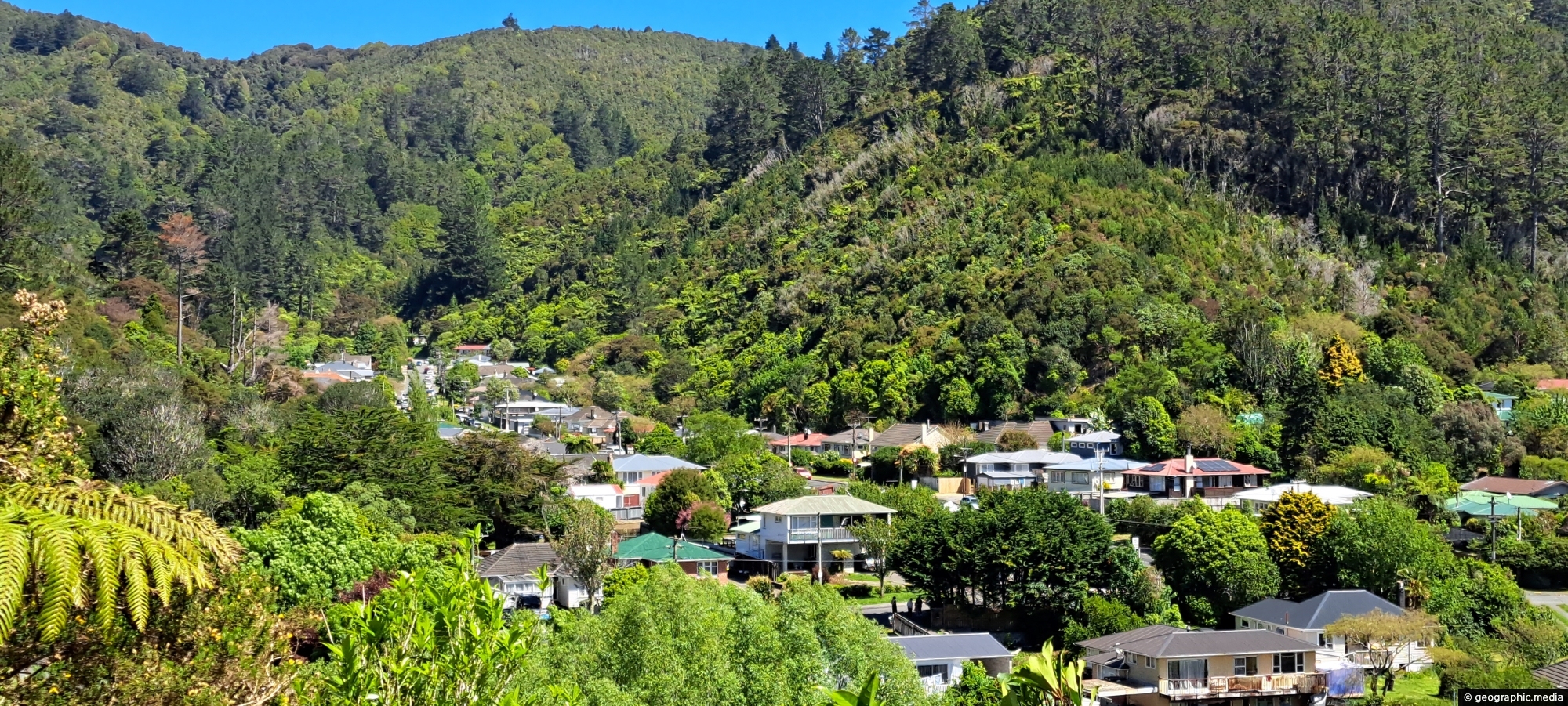
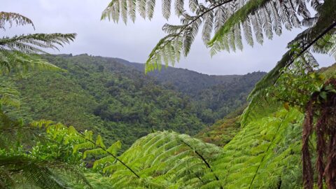
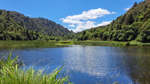
View of Sunny Grove in Wainuiomata. While the street looks sunny in the photo, it is mostly quite shady street as it is located in a valley. The hills around Sunny Grove are part of the Remutaka mountain range in the south of the North Island.
ALL / Explore Oceania / Explore New Zealand / New Zealand Photos / Wainuiomata photos / Sunny Grove Wainuiomata
All original royalty-free photos, shareable maps, and informative articles.
Sunny Grove Wainuiomata
Page Views
This post has been viewed 231 times
Related Articles
-
Underground Shaft in Wainuiomata
Wainuiomata photos, Extra Wide Horizontal, Tunnels
This underground shaft in Wainuiomata was originally constructed in the 1880s. It was abandoned 1899 and is now completely...
-
Wainuiomata Wetlands
Wainuiomata photos, Extra Wide Horizontal, Forests, Wetlands
Wetlands in Wainuiomata within Wainuiomata Regional Park. The wetlands was once a dam that supplied water to Wellington. It...
-
Nikau Creek Track
Wainuiomata photos, Ferns, Forests, Portrait / Vertical
The Nikau Creek Track is a short 30 minute walk that takes you through the podocarp rainforest found in...
-
Richard Prouse Park Tunnel
Wainuiomata photos, Extra Wide Horizontal, Tunnels
The Richard Prouse Park Tunnel was constructed between 1881 and 1882. It is situated in the vicinity of the...
-
Lower Dam Spillway Lookout
Wainuiomata photos, Dams, Extra Wide Horizontal, Forests, Rivers
View of the spillway and lookout. The Wainuiomata River is channeled from a wetland, continuing its course beneath as...
-
Wetlands in Wainuiomata
Wainuiomata photos, Extra Wide Horizontal, Forests, Wetlands
The suburb of Wainuiomata was largely comprised of swamp. in 1855 a massive 8.2 earthquake raised much land above...
-
Coast Road Wainuiomata
Wainuiomata photos, Extra Wide Horizontal, Roads
Looking at the southern end of the Coast Road in Wainuiomata as you head to the south coast. It’s...
-
Wainuiomata River Coast Road
Wainuiomata photos, Extra Wide Horizontal, Rivers
Looking down at the Wainuiomata River from the Coast Road. The river starts in a podocarp rainforest, then flows...
0 Comments
Latest Posts
Popular Posts
- Awakening New Zealand video (100)
- Iguazu Falls as seen from Brazil (86)
- Metrocable Medellin (77)
- Spinnaker Hill View (68)
- Pauatahanui Inlet (68)
- View from Whitby (68)
- Spinnaker Hill in Whitby Porirua (67)
- The Devil’s Throat (62)
- Aerial View of Iguazu Falls (61)
- Porirua Harbour & Papakowhai (57)
- Lake Wakatipu (57)
- Salto Rivadavia & Iguassu River (56)
- Lake Tekapo & Lupins (54)
- Cascadas at Iguazu (53)
- Close up of Salto Rivadavia (53)
- Salto Rivadavia Misiones Province (53)
Subjects
AccommodationAnimalsArchitectureBeachesBirdsBoatsBridgesBuildingsCarsChurchesCitiesCliffsCoralCultureExtra Wide HorizontalFlowersForestsHarborsHomesIslandsLakesLandscape / HorizontalMapsMenMonumentsMountainsPalmsParksPeoplePlantsPortrait / VerticalRiversRoadsRuralSeaShopsSkyscrapersSnowSunsetsTownsTransportTreesVideosVolcanicWaterfalls
Recent Comments
- Lance on Concrete Hut Wainuiomata
- DavidJ on Concrete Hut Wainuiomata
- Tony on Concrete Hut Wainuiomata
- DavidJ on Wellington Night Skyline
- Ben on Auckland City Skyline from Westhaven Marina in 1998