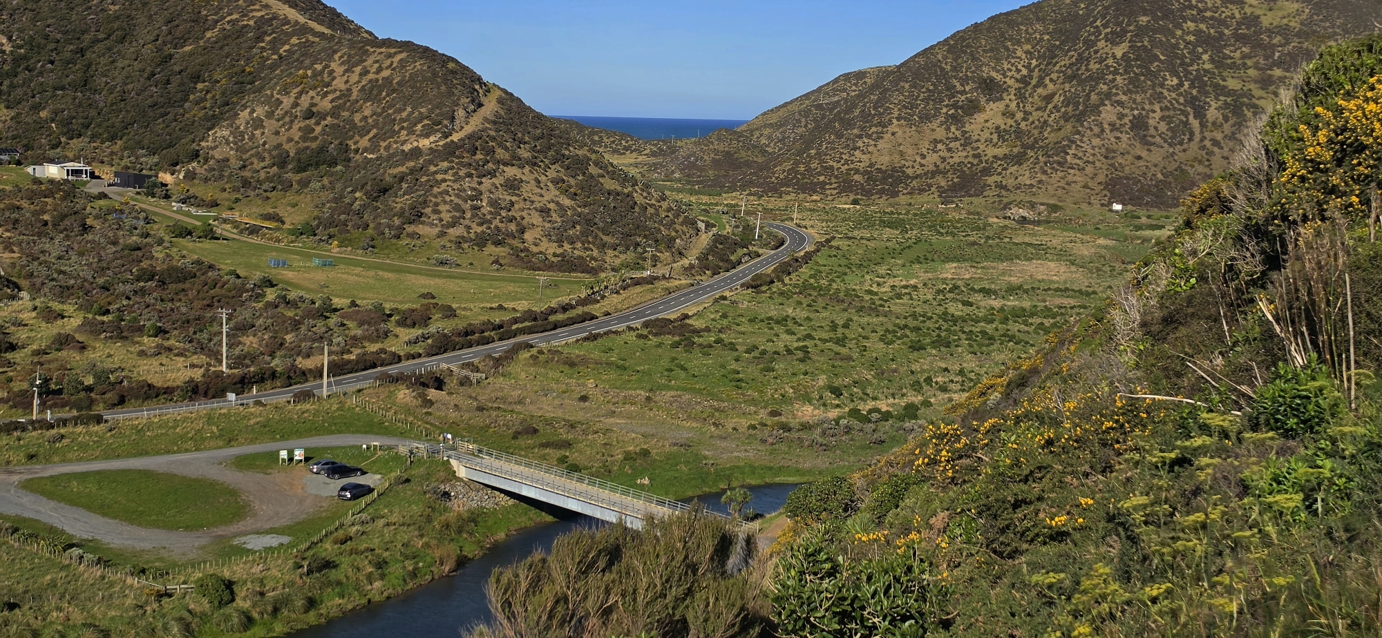
Looking along Coast Road near the southern coastline, with Lighthouse Bridge in view as it spans the Wainuiomata River.
Click image for fullscreen.

Looking along Coast Road near the southern coastline, with Lighthouse Bridge in view as it spans the Wainuiomata River.
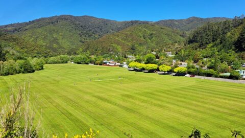
Summer at Richard Prouse Park in Wainuiomata. The park is used for the game of cricket during the summer...
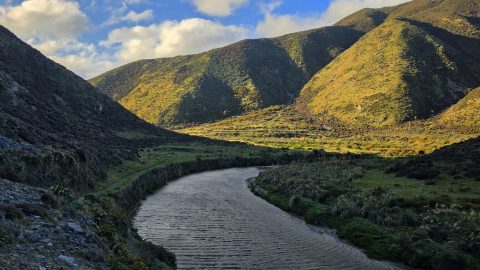
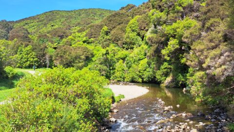
The Wainuiomata River, viewed from the Great Loop Walk beneath the shadow of Para Hill, near the Wainuiomata coast.
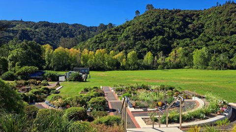
The Wainuiomata Garden of Remembrance is a modern memorial cemetery located at the end of Hine Road in Wainuiomata,...
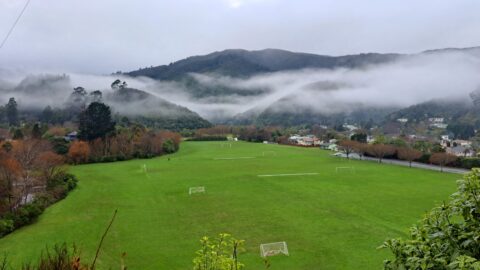
Winter view of Richard Prouse Park in Wainuiomata, with the hills of Wainuiomata Regional Park shrouded in fog.
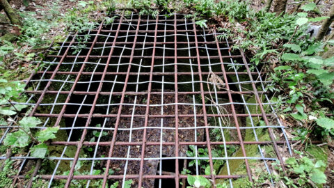
This underground shaft in Wainuiomata was originally constructed in the 1880s. It was abandoned 1899 and is now completely...
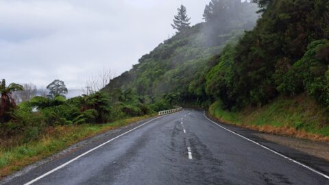
Moores Valley Road on a misty winter’s day in Wainuiomata presents a picturesque scene. One of the oldest roads...
View of Top Pool a natural swimming hole in Wainuiomata River. Access is gained from the carpark at the...
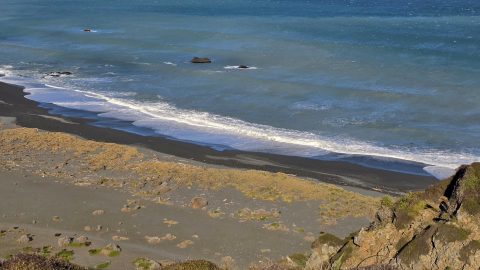
Wainuiomata has a rugged, windswept coastline with grey sand and wild coastal conditions. Pictured is the mouth of the...