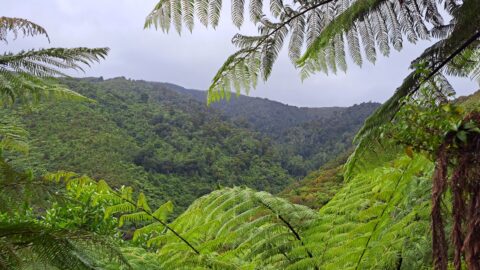
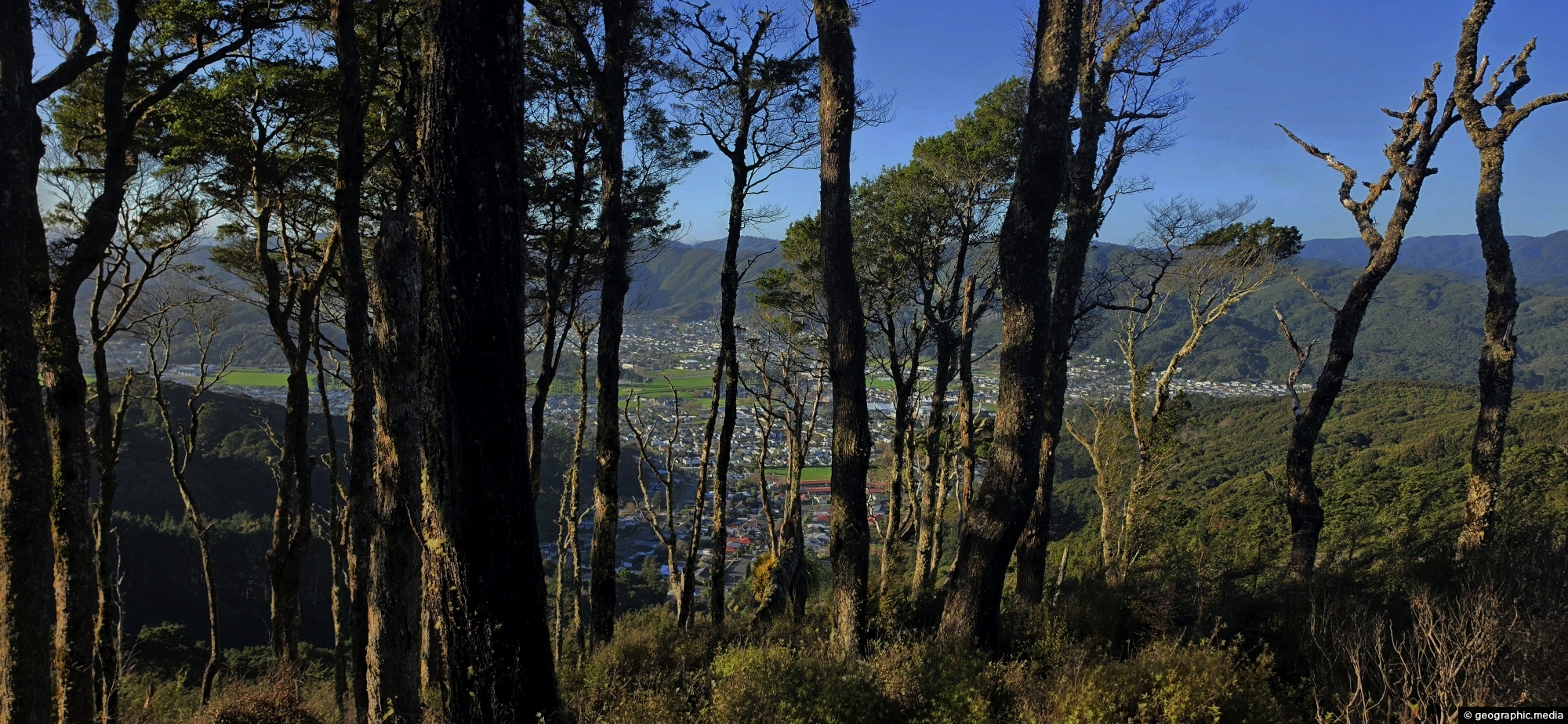
A glimpse of Wainuiomata Valley through the trees from Rātā Ridge Track, one of many walks surrounding the valley.
Click image for fullscreen.

A glimpse of Wainuiomata Valley through the trees from Rātā Ridge Track, one of many walks surrounding the valley.
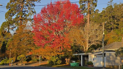
Each autumn, Hine Road puts on a colourful display from exotic trees planted decades ago. Two Sequoia sempervirens can...
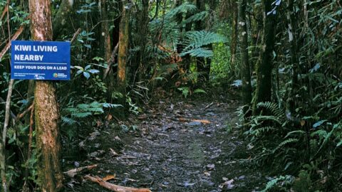
Sledge Track Creek in Wainuiomata is a habitat for kiwi, New Zealand’s national bird. These flightless and endangered birds...
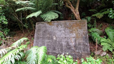
Hidden in the Wainuiomata bushline, this old meter hut once housed equipment used to measure water flow through the...
The sight from the summit of the western slope arm overlooks Nikau Creek Valley. On the opposing slope lies...
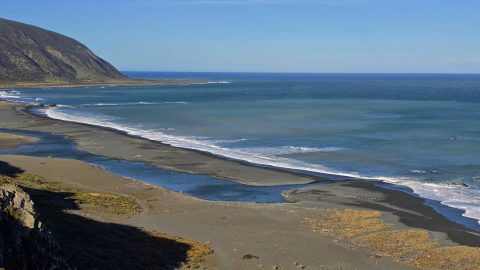
Wainuiomata has a rugged, windswept coastline with grey sand and wild coastal conditions. Pictured is the mouth of the...
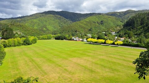
View of Richard Prouse Park in Wainuiomata. The park has football and cricket pitches. The Wainuiomata River forms much...
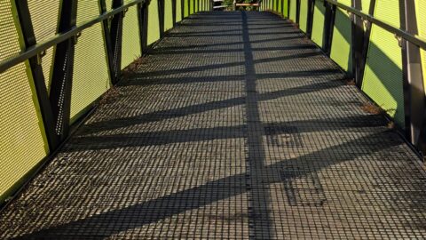
Pukeatua Bridge in Wainuiomata crosses Wainuiomata Road at its highest point, 189 meters above sea level. This places the...
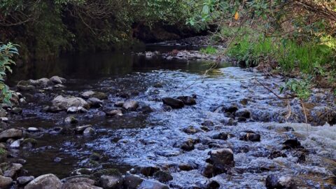
View of the Wainuiomata River in Reservoir Valley, downstream from the weirs that divert water for Wellington’s supply.