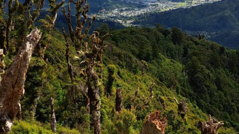
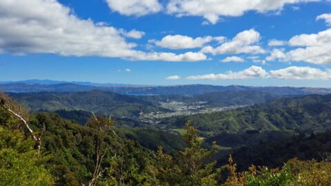
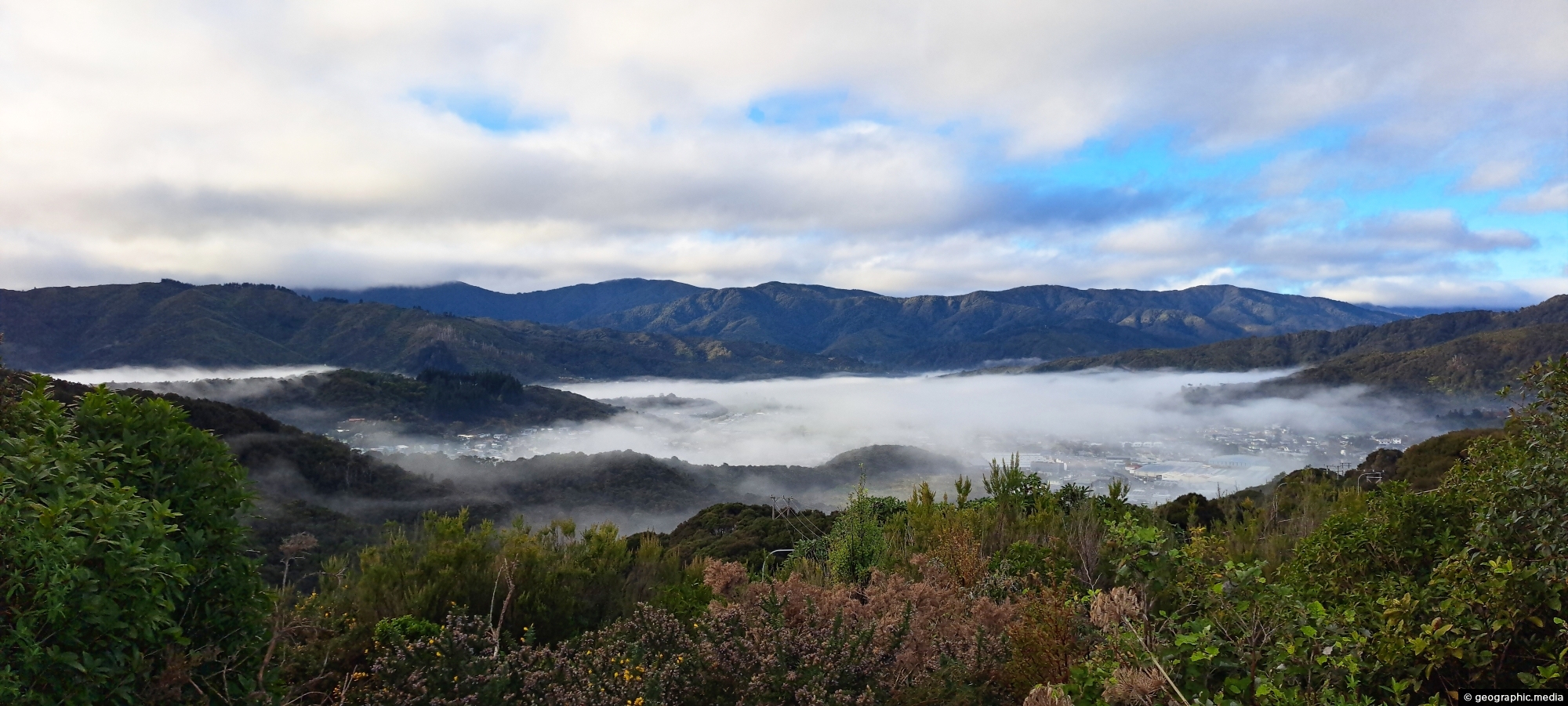
Looking down over the valley where Wainuiomata lies. Its unique geography often leads to misty winter mornings, with low-hanging cloud lingering until the sun gradually burns it away.
ALL / Explore Oceania / Explore New Zealand / New Zealand Photos / Wainuiomata photos / Wainuiomata Valley Mist
All original royalty-free photos, shareable maps, and informative articles.
Wainuiomata Valley Mist
Page Views
This post has been viewed 457 times
Related Articles
-
Richard Prouse Park and Harry Todd Recreation Reserve
Wainuiomata photos, Extra Wide Horizontal, Mountains, Parks
Overlooking Richard Prouse Park, with Harry Todd Recreation Reserve on the hillside to the right and Wainuiomata Regional Park...
-
Wainuiomata Historical Museum
Wainuiomata photos, Extra Wide Horizontal, Mountains, Parks
Looking at one of the rooms in the Wainuiomata Museum that displays artefacts from the past as well as...
-
Track in Poole Crescent Reserve
Wainuiomata photos, Portrait / Vertical, Rivers, Trees
Autumn in Poole Crescent Reserve in Wainuiomata in Lower Hutt. The track and reserve runs parallel with Wainuiomata River.
-
Concrete Race
Wainuiomata photos, Abandoned, Extra Wide Horizontal, Tunnels
The Concrete Race, also known as the Water Race, is a buried tunnel that once carried clean river water...
-
Lower Dam Spillway Lookout
Wainuiomata photos, Dams, Extra Wide Horizontal, Forests, Rivers
View of the spillway and lookout. The Wainuiomata River is channeled from a wetland, continuing its course beneath as...
-
Misty Day at Richard Prouse Park
Wainuiomata photos, Extra Wide Horizontal, fog, Mountains, Parks
Winter view of Richard Prouse Park in Wainuiomata, with the hills of Wainuiomata Regional Park shrouded in fog.
-
Wainuiomata Garden of Remembrance
Wainuiomata photos, Extra Wide Horizontal, Parks, Trees
The Wainuiomata Garden of Remembrance is a modern memorial cemetery located at the end of Hine Road in Wainuiomata,...
-
Wetlands in Wainuiomata
Wainuiomata photos, Extra Wide Horizontal, Forests, Wetlands
The suburb of Wainuiomata was largely comprised of swamp. in 1855 a massive 8.2 earthquake raised much land above...
0 Comments
Popular Posts
- Awakening New Zealand video (100)
- Iguazu Falls as seen from Brazil (87)
- Metrocable Medellin (78)
- Pauatahanui Inlet (69)
- Spinnaker Hill View (69)
- Spinnaker Hill in Whitby Porirua (69)
- View from Whitby (68)
- The Devil’s Throat (63)
- Aerial View of Iguazu Falls (61)
- Porirua Harbour & Papakowhai (58)
- Lake Wakatipu (57)
- Salto Rivadavia & Iguassu River (56)
- Salto Rivadavia Misiones Province (54)
- Close up of Salto Rivadavia (54)
- Cascadas at Iguazu (54)
- Lake Tekapo & Lupins (54)
Subjects
AccommodationAnimalsArchitectureBeachesBirdsBoatsBridgesBuildingsCarsChurchesCitiesCoralCultureExtra Wide HorizontalFlowersForestsHarborsHomesIslandsLakesLandscape / HorizontalMapsMenMonumentsMountainsPalmsParksPeoplePlantsPortrait / VerticalRiversRoadsRuralSeaShopsSkyscrapersSnowSunsetsTownsTrailsTransportTreesVideosVolcanicWaterfalls
Recent Comments
- DavidJ on The True Size of Australia
- Anonymous on The True Size of Australia
- Lance on Concrete Hut Wainuiomata
- Tony on Concrete Hut Wainuiomata
- DavidJ on Wellington Night Skyline