
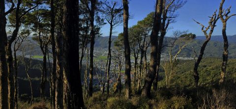
A glimpse of Wainuiomata Valley through the trees from Rātā Ridge Track, one of many walks surrounding the valley.
Aerial
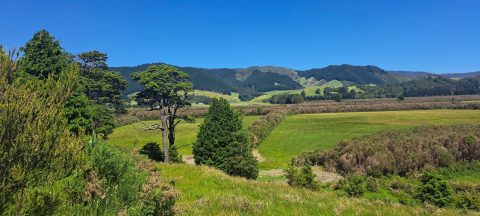
Whitemans Valley is a rural valley near the city of Upper Hutt in the lower North Island. Situated to...
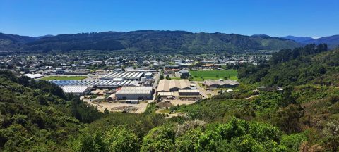
Looking down over Upper Hutt from Wallaceville Road, which leads to Whitemans Valley. Maidstone Park is visible on the...

Looking down on farmland in the Coast Road area of Wainuiomata. Coast Road flows southwards from suburban streets into...
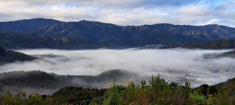
Wainuiomata often experiences misty mornings on fine days due to its valley geography and cool overnight conditions. Surrounded by...
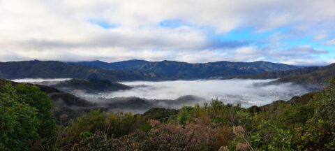
Looking down over the valley where Wainuiomata lies. Its unique geography often leads to misty winter mornings, with low-hanging...
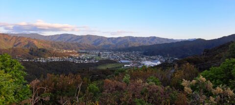
View of Wainuiomata as seen from the lookout at the top of Wainuiomata Hill. A car park at the...
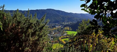
View from atop a hill in Wainuiomata Regional Park looking west at Homedale. You can see Hine Road Recreation...
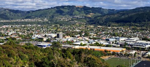
Looking at the CBD of Upper Hutt and suburbs, as seen from the Brett Latimer Lookout. Riverstone Terraces can...
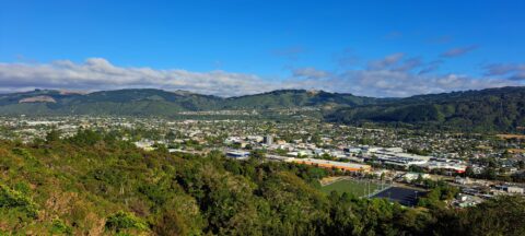
Aerial view of the valley containing the city of Upper Hutt, while looking west. There is still a significant...
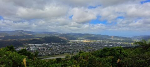
A cloudy day at Upper Hutt as seen from the western hills. The Hutt River and State Highway 2...

Recent Comments