Looking down on farmland in the Coast Road area of Wainuiomata. Coast Road flows southwards from suburban streets into the wilder parts of the valley, where farms and lifestyle blocks spread among native bush. Historic farms like Catchpool and Cairnbrook gave way to modern homesteads and community spaces such as Camp Wainui and the golf club. Despite suburban growth, the southern end retains a rural identity.
Coast Road Farmland
Page Views
This post has been viewed 692 times
Related Articles
-
Breaking Waves at Baring Head
Wainuiomata photos, Extra Wide Horizontal, Sea
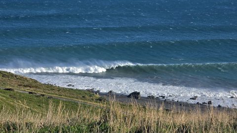
Breaking waves at Baring Head show what looks like a great left-hand break. However, the absence of surfers may...
-
Wainuiomata Historical Museum
Wainuiomata photos, Extra Wide Horizontal, Mountains, Parks
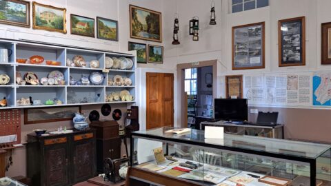
Looking at one of the rooms in the Wainuiomata Museum that displays artefacts from the past as well as...
-
Hine Road Colours
Wainuiomata photos, Extra Wide Horizontal, Parks, Trees
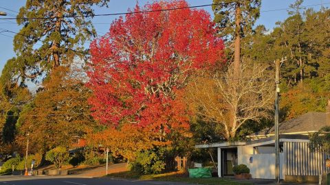
Each autumn, Hine Road puts on a colourful display from exotic trees planted decades ago. Two Sequoia sempervirens can...
-
River at Richard Prouse Park
Wainuiomata photos, Extra Wide Horizontal, Forests, Rivers
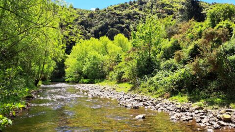
View of Wainuiomata River on the edge of Richard Prouse Park. This part of the river has a few...
-
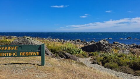
Turakirae Head Sign
Wainuiomata photos, Beaches, Extra Wide Horizontal
A sign notifying walkers that they are entering the Turakirae Head Scientific Reserve. Situated on the southern coast of...
-
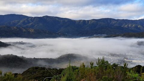
Wainuiomata Mist
Wainuiomata photos, Aerial, Extra Wide Horizontal, Mountains, Towns, Weather
Wainuiomata often experiences misty mornings on fine days due to its valley geography and cool overnight conditions. Surrounded by...
-
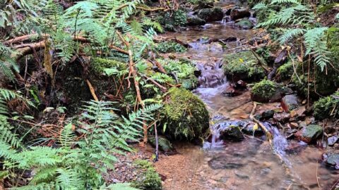
Unnamed Creek in Wainuiomata Regional Park
Wainuiomata photos, Forests, Portrait / Vertical, Rivers
There are numerous unnamed creeks and streams in Wainuiomata Regional Park that feed into the Wainuiomata River including this...
-
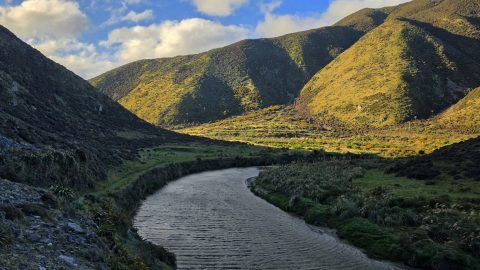
Wainuiomata River from Great Loop Walk
Wainuiomata photos, Extra Wide Horizontal, Rivers
The Wainuiomata River, viewed from the Great Loop Walk beneath the shadow of Para Hill, near the Wainuiomata coast.
0 Comments
Popular Posts
- Awakening New Zealand video (100)
- Iguazu Falls as seen from Brazil (87)
- Metrocable Medellin (78)
- Pauatahanui Inlet (69)
- Spinnaker Hill View (69)
- Spinnaker Hill in Whitby Porirua (69)
- View from Whitby (68)
- The Devil’s Throat (63)
- Aerial View of Iguazu Falls (61)
- Porirua Harbour & Papakowhai (58)
- Lake Wakatipu (57)
- Salto Rivadavia & Iguassu River (56)
- Salto Rivadavia Misiones Province (54)
- Close up of Salto Rivadavia (54)
- Cascadas at Iguazu (54)
- Lake Tekapo & Lupins (54)
Subjects
AccommodationAnimalsArchitectureBeachesBirdsBoatsBridgesBuildingsCarsChurchesCitiesCoralCultureExtra Wide HorizontalFlowersForestsHarborsHomesIslandsLakesLandscape / HorizontalMapsMenMonumentsMountainsPalmsParksPeoplePlantsPortrait / VerticalRiversRoadsRuralSeaShopsSkyscrapersSnowSunsetsTownsTrailsTransportTreesVideosVolcanicWaterfalls
Recent Comments
- DavidJ on The True Size of Australia
- Anonymous on The True Size of Australia
- Lance on Concrete Hut Wainuiomata
- Tony on Concrete Hut Wainuiomata
- DavidJ on Wellington Night Skyline