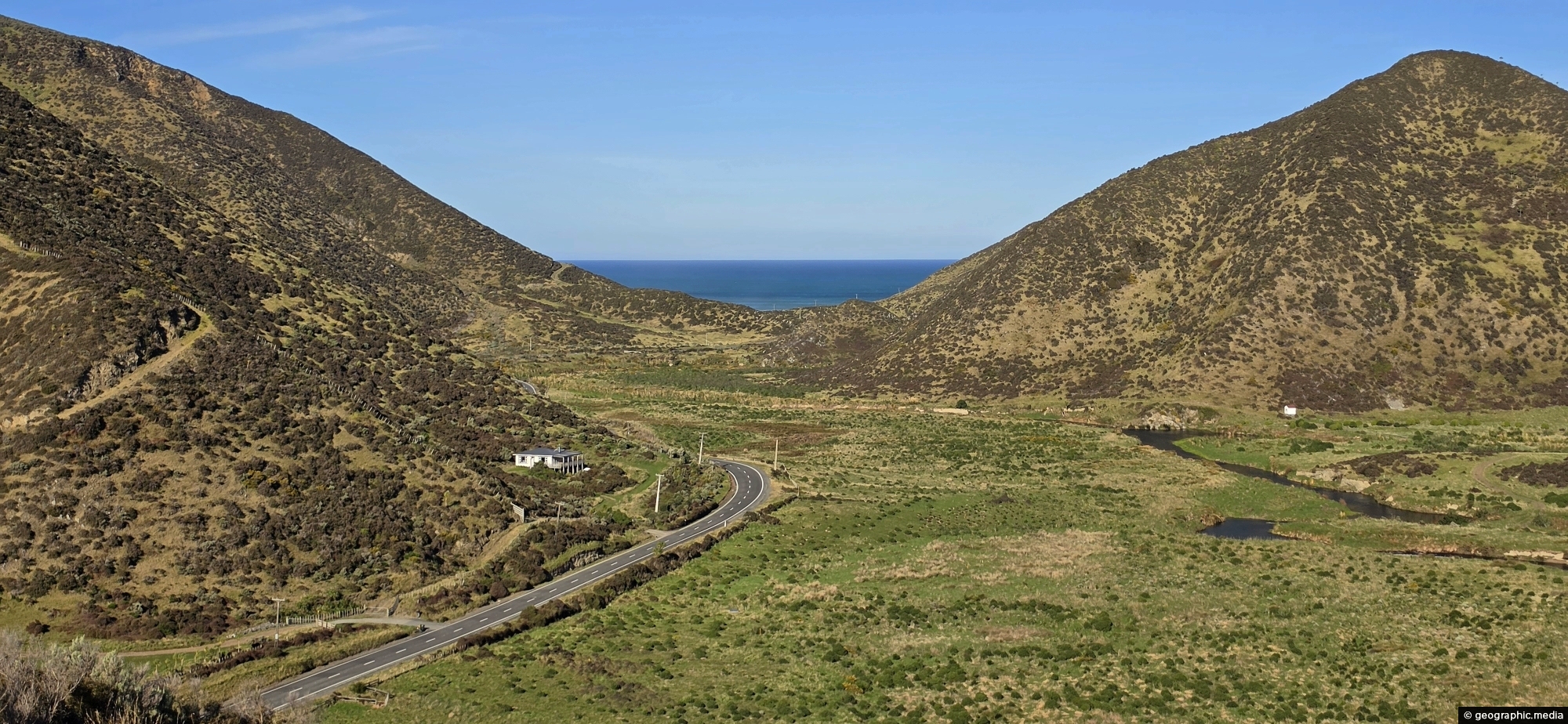
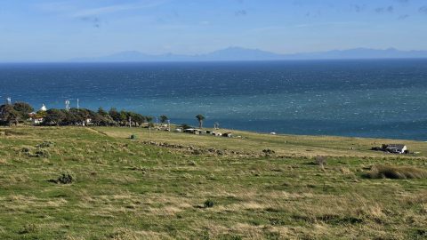
Coast Road and Wainuiomata River in view. Near the horizon is the Cook Strait, a body of water between the North and South islands.
Click Jigshare icon to turn the image into a jigsaw. Or click on photo to download or view full screen image.

Coast Road and Wainuiomata River in view. Near the horizon is the Cook Strait, a body of water between the North and South islands.
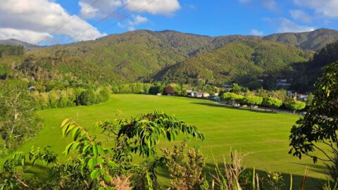
Standing at the lookout on The Rock, you get a wide view across Richard Prouse Park and the surrounding...
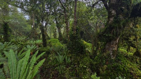
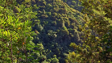
Beneath the rainforest canopy, the understorey in the Remutaka Forest Park in Wainuiomata is thick with ferns, mosses, and...
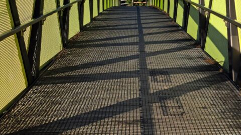
Pukeatua Bridge in Wainuiomata crosses Wainuiomata Road at its highest point, 189 meters above sea level. This places the...
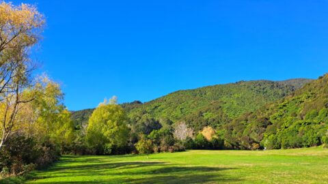
What was once called The Meadow is now Hine Road Recreation Area, a grassy area that sits alongside Wainuiomata...
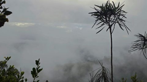
Looking down from McKerrow Ridge towards Reservoir Valley in Wainuiomata. On a fine day, the views are spectacular, while...
View of Nikau Creek Valley in Wainuiomata from high up one of the gully walls. Over the hill ahead...
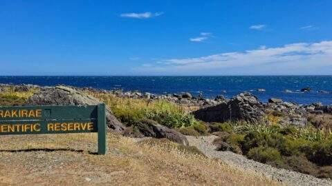
A sign notifying walkers that they are entering the Turakirae Head Scientific Reserve. Situated on the southern coast of...
Looking towards Baring Head, with the lighthouse cottages visible near the headland and the South Island seen in the...
