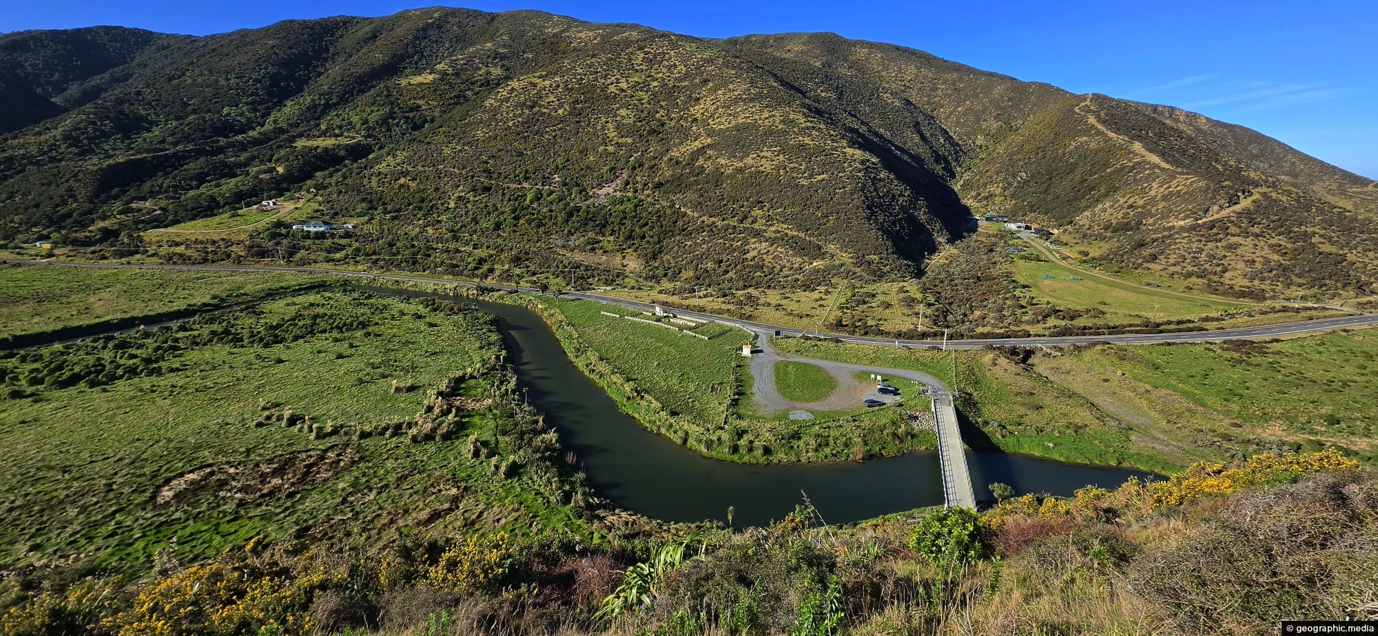
Looking down upon the Wainuiomata River with the Baring Head Bridge (locally referred to as the “Lighthouse Bridge”) in view.
Click Jigshare icon to turn the image into a jigsaw. Or click on photo to download or view full screen image.

Looking down upon the Wainuiomata River with the Baring Head Bridge (locally referred to as the “Lighthouse Bridge”) in view.
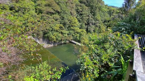
View of the spillway and lookout. The Wainuiomata River is channeled from a wetland, continuing its course beneath as...
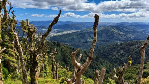
View from the top of Whakanui Track along a ridgeline, before it connects to the McKerrow Track. Wainuiomata can...
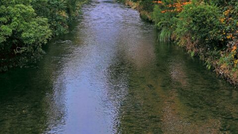
Autumn colors at Wainuiomata River, viewed from Main Road Bridge. The river, the principal waterway of Wainuiomata, flows through...
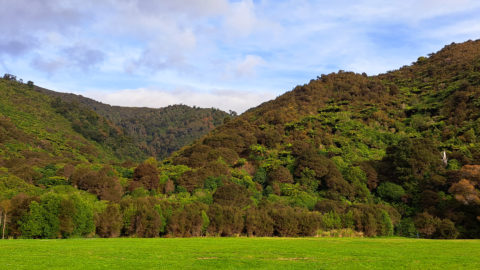
Looking at the foothills of the Remutaka Range in Wainuiomata. This location is near the Wainuiomata River and offers...
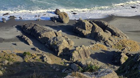
Ancient volcanic rocks are scattered along the coastline around Baring Head and much of Wainuiomata’s south coast, adding to...
This view shows rocks that once formed the coastline prior to the 1855 Wairarapa earthquake. The powerful 8.2 magnitude...
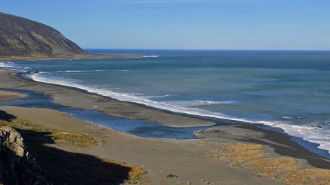
Wainuiomata has a rugged, windswept coastline with grey sand and wild coastal conditions. Pictured is the mouth of the...
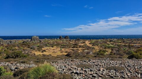
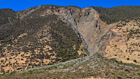
This shingle fan reveals a massive accumulation of scree cascading from the hillside, spreading out in a fan-like shape...
