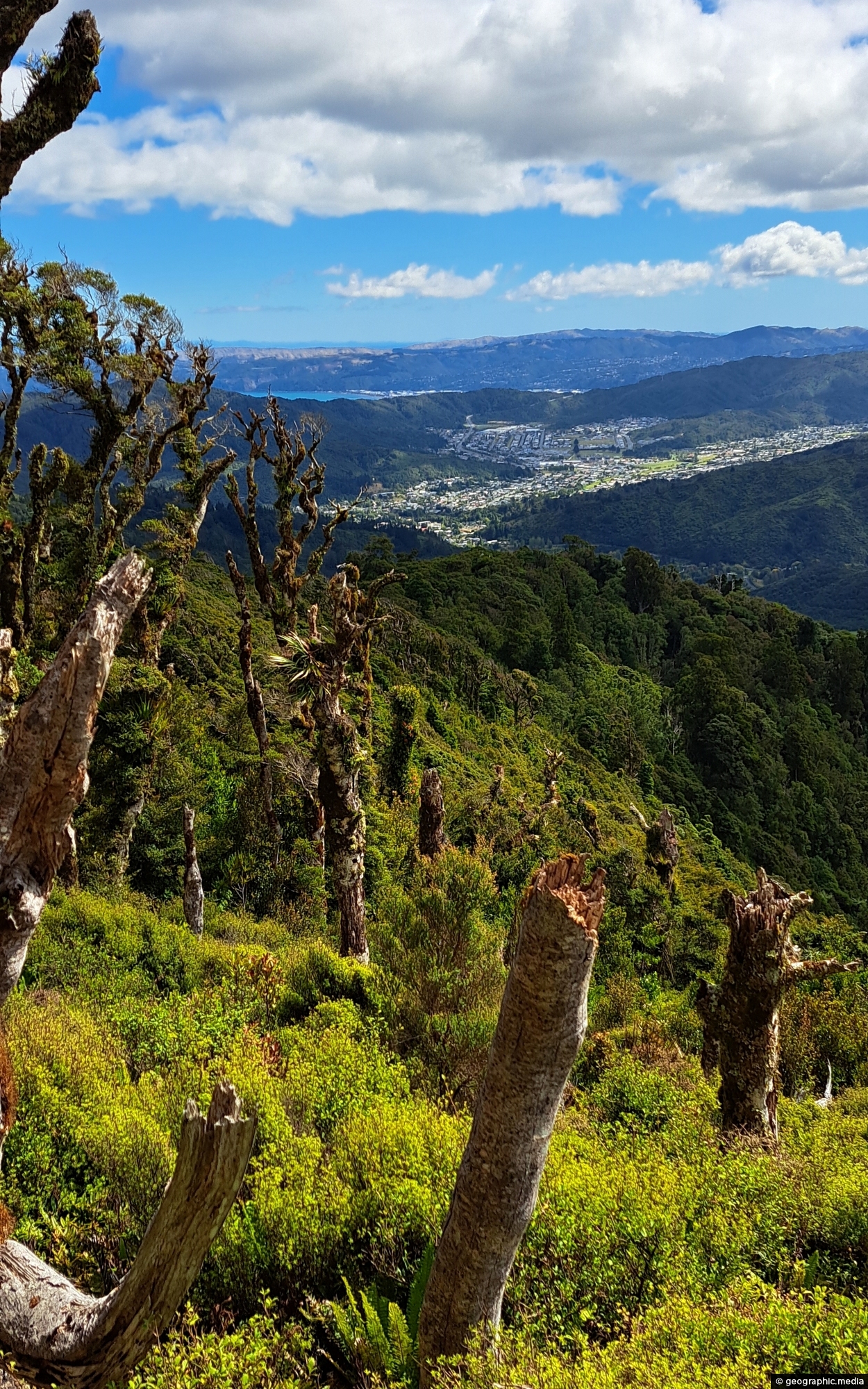
View of the Wainuiomata Valley as seen from the Remutaka Range, the last mountain range in the North Island.
Click Jigshare icon to turn the image into a jigsaw. Or click on photo to download or view full screen image.

View of the Wainuiomata Valley as seen from the Remutaka Range, the last mountain range in the North Island.
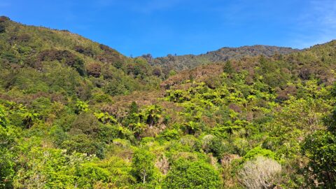
Looking at a forested foothill in the Remutaka Range. The Lower Hutt suburb of Wainuiomata is set below these...
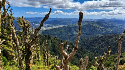
View from the top of Whakanui Track along a ridgeline, before it connects to the McKerrow Track. Wainuiomata can...
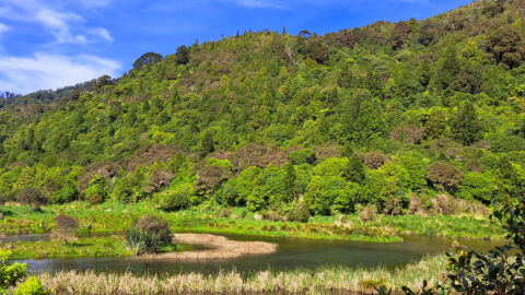
These wetlands were restored when the lower dam in Wainuiomata was decommissioned. The hill in the background is one...
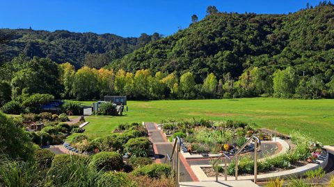
The Wainuiomata Garden of Remembrance is a modern memorial cemetery located at the end of Hine Road in Wainuiomata,...
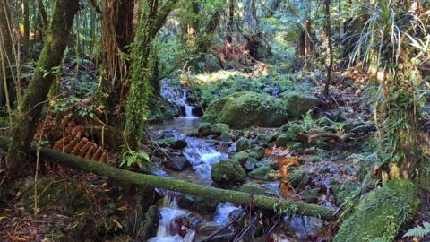
The Sledge Track Creek in Wainuiomata offers a scenic view, winding through dense native bush with an old forestry...
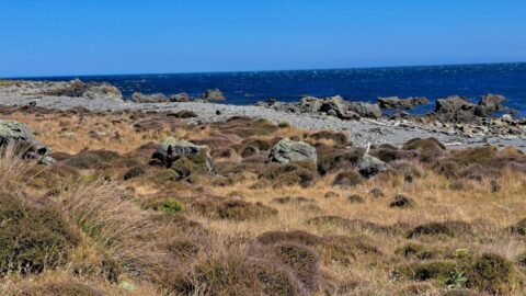
A view of the rugged coastline and native vegetation on the southern North Island, specifically in Wainuiomata. This section...
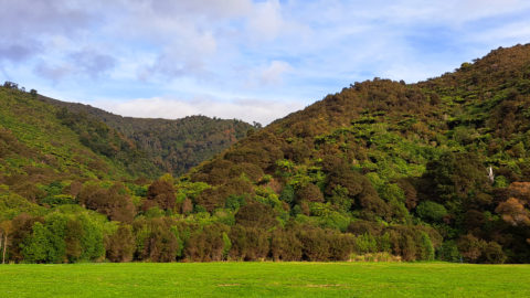
Looking at the foothills of the Remutaka Range in Wainuiomata. This location is near the Wainuiomata River and offers...
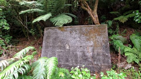
Hidden in the Wainuiomata bushline, this old meter hut once housed equipment used to measure water flow through the...
