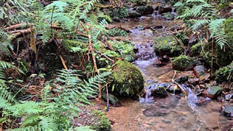
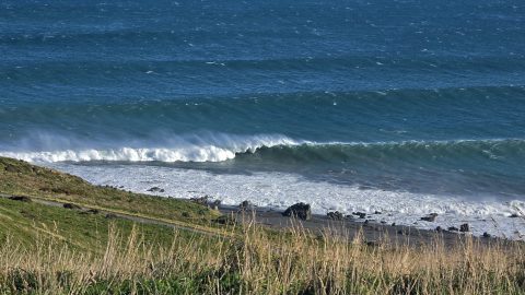
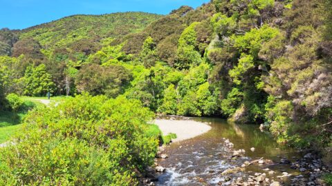
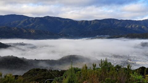
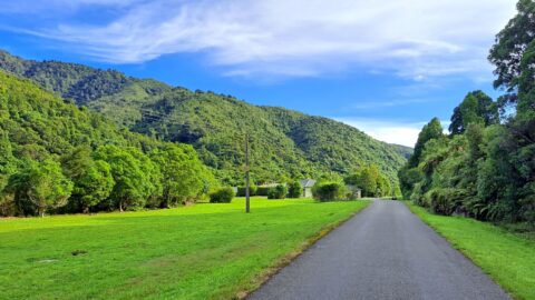
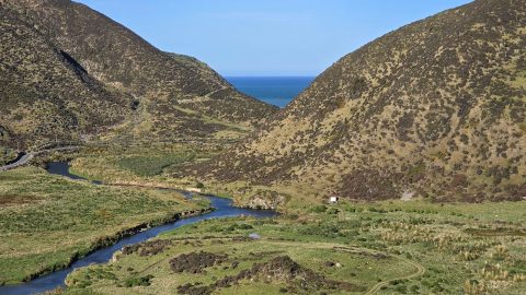
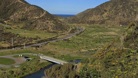
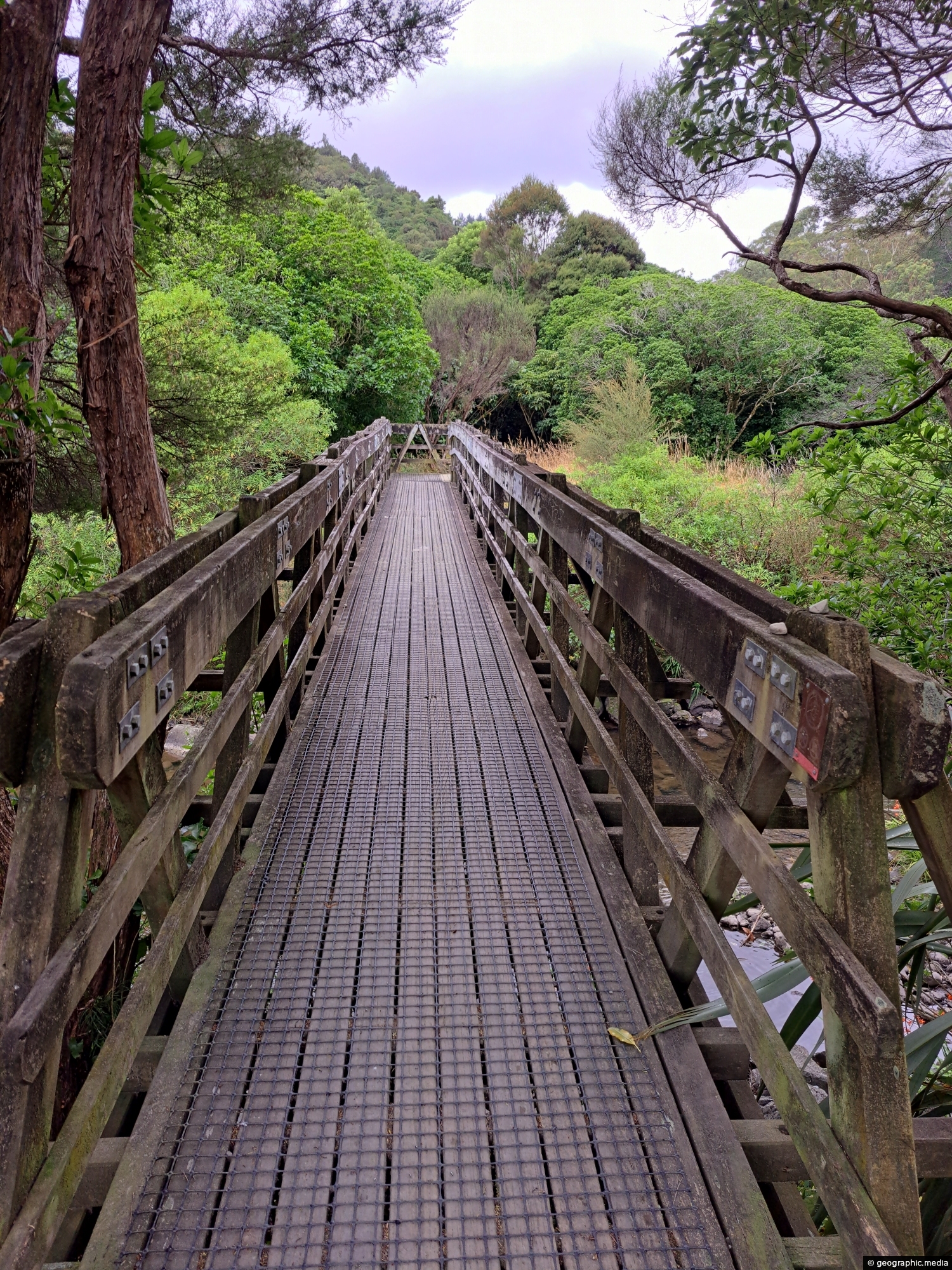
The construction of Hine Road Recreation Reserve Bridge dates back to 1989. It provides passage to Top Pool Bridge, a swimming hole in the Wainuiomata River which forms the perimeter of the reserve.
ALL / Explore Oceania / Explore New Zealand / New Zealand Photos / Wainuiomata photos / Hine Road Recreation Reserve Bridge
All original royalty-free photos, shareable maps, and informative articles.
Hine Road Recreation Reserve Bridge
Page Views
This post has been viewed 649 times
Related Articles
-
Upper Reaches of Wainuiomata River
Wainuiomata photos, Forests, Portrait / Vertical, Rivers
Looking at an almost inaccessible part of the Wainuiomata River. There are no tracks leading here, but you gain...
-
Reservoir Road Gate in Wainuiomata
Wainuiomata photos, Extra Wide Horizontal, Forests, Roads
There are also a number of bush tracks into the park that take you through native bush and a...
-
Wainuiomata Mist
Wainuiomata photos, Aerial, Extra Wide Horizontal, Mountains, Towns, Weather
Wainuiomata often experiences misty mornings on fine days due to its valley geography and cool overnight conditions. Surrounded by...
-
Ōrongorongo River
Wainuiomata photos, Extra Wide Horizontal, Mountains, Rivers
The Ōrongorongo River is a prominent waterway in the Wellington region of New Zealand, flowing from the Rimutaka Ranges...
-
Richard Prouse Park
Wainuiomata photos, Extra Wide Horizontal, Mountains, Sport
View of Richard Prouse Park in Wainuiomata. The park has football and cricket pitches. The Wainuiomata River forms much...
-
Nikau Creek Valley View
Wainuiomata photos, Forests, Portrait / Vertical
View of Nikau Creek Valley in Wainuiomata from high up one of the gully walls. Over the hill ahead...
-
Old Tree Covered in Epiphytes
Wainuiomata photos, Portrait / Vertical, Trees
This old tree has hosts many different epiphyte species. An epiphyte refers to a plant species that thrives by...
-
Eastern Edge of the Remutaka Range
Wainuiomata photos, Extra Wide Horizontal, Mountains
This view captures the eastern edge of the Remutaka Range in Palliser Bay, which can be accessed either via...
0 Comments
Popular Posts
- Awakening New Zealand video (100)
- Iguazu Falls as seen from Brazil (87)
- Metrocable Medellin (78)
- Pauatahanui Inlet (69)
- Spinnaker Hill View (69)
- Spinnaker Hill in Whitby Porirua (69)
- View from Whitby (68)
- The Devil’s Throat (63)
- Aerial View of Iguazu Falls (61)
- Porirua Harbour & Papakowhai (58)
- Lake Wakatipu (57)
- Salto Rivadavia & Iguassu River (56)
- Salto Rivadavia Misiones Province (54)
- Close up of Salto Rivadavia (54)
- Cascadas at Iguazu (54)
- Lake Tekapo & Lupins (54)
Subjects
AccommodationAnimalsArchitectureBeachesBirdsBoatsBridgesBuildingsCarsChurchesCitiesCoralCultureExtra Wide HorizontalFlowersForestsHarborsHomesIslandsLakesLandscape / HorizontalMapsMenMonumentsMountainsPalmsParksPeoplePlantsPortrait / VerticalRiversRoadsRuralSeaShopsSkyscrapersSnowSunsetsTownsTrailsTransportTreesVideosVolcanicWaterfalls
Recent Comments
- DavidJ on The True Size of Australia
- Anonymous on The True Size of Australia
- Lance on Concrete Hut Wainuiomata
- Tony on Concrete Hut Wainuiomata
- DavidJ on Wellington Night Skyline