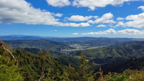
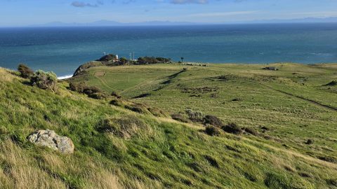
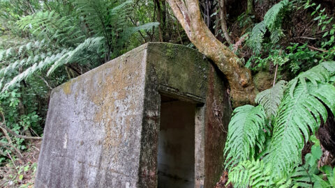
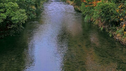
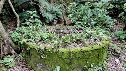
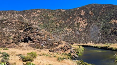
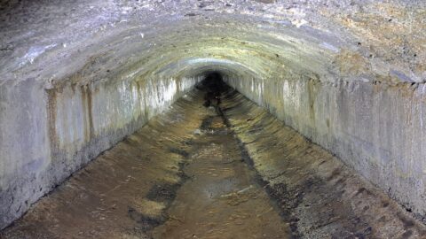
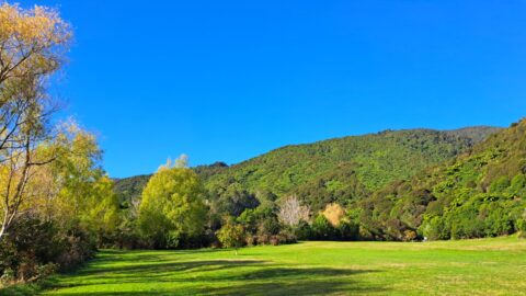
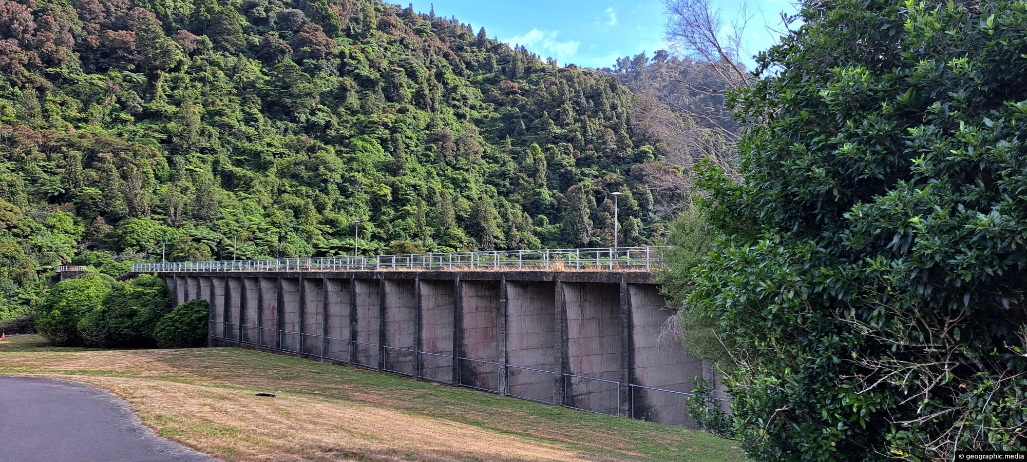
Looking at Morton Dam in the year 2024, after being decommissioned some 36 years before. It once supplied the Wellington region with water. Today, water is taken from 5 weirs located nearby and in the nearby Orongorongo Valley.
ALL / Explore Oceania / Explore New Zealand / New Zealand Photos / Wainuiomata photos / Morton Dam in Wainuiomata
All original royalty-free photos, shareable maps, and informative articles.
Morton Dam in Wainuiomata
Page Views
This post has been viewed 912 times
Related Articles
-
Ōrongorongo River
Wainuiomata photos, Extra Wide Horizontal, Mountains, Rivers
The Ōrongorongo River is a prominent waterway in the Wellington region of New Zealand, flowing from the Rimutaka Ranges...
-
Old Meter Hut
Wainuiomata photos, Abandoned, Extra Wide Horizontal, Tunnels
Hidden in the Wainuiomata bushline, this old meter hut once housed equipment used to measure water flow through the...
-
Sledge Pool in Wainuiomata River
Wainuiomata photos, Cities, Harbors, Landscape / Horizontal, Mountains, Night
View of Sledge Track Pool in Wainuiomata. This pool is found further upstream than other good swimming holes located...
-
Young Nikau Palm
Wainuiomata photos, Ferns, Forests, Portrait / Vertical
Nikau palms are the only palm tree in the world to naturally grow outside of the tropics. It is...
-
Sledge Track Creek
Wainuiomata photos, Cities, Harbors, Landscape / Horizontal, Mountains, Night
The Sledge Track Creek in Wainuiomata offers a scenic view, winding through dense native bush with an old forestry...
-
Remains of a Power Generator
Wainuiomata photos, Extra Wide Horizontal, Forests
These remnants are believed to be part of a power generator that was used during the construction of the...
-
Homedale Wainuiomata View
Wainuiomata photos, Aerial, Extra Wide Horizontal, Mountains, Parks
View from atop a hill in Wainuiomata Regional Park looking west at Homedale. You can see Hine Road Recreation...
-
River at Richard Prouse Park
Wainuiomata photos, Extra Wide Horizontal, Forests, Rivers
View of Wainuiomata River on the edge of Richard Prouse Park. This part of the river has a few...
0 Comments
Popular Posts
- Awakening New Zealand video (100)
- Iguazu Falls as seen from Brazil (87)
- Metrocable Medellin (78)
- Pauatahanui Inlet (69)
- Spinnaker Hill View (69)
- Spinnaker Hill in Whitby Porirua (69)
- View from Whitby (68)
- The Devil’s Throat (63)
- Aerial View of Iguazu Falls (61)
- Porirua Harbour & Papakowhai (58)
- Lake Wakatipu (57)
- Salto Rivadavia & Iguassu River (56)
- Salto Rivadavia Misiones Province (54)
- Close up of Salto Rivadavia (54)
- Cascadas at Iguazu (54)
- Lake Tekapo & Lupins (54)
Subjects
AccommodationAnimalsArchitectureBeachesBirdsBoatsBridgesBuildingsCarsChurchesCitiesCoralCultureExtra Wide HorizontalFlowersForestsHarborsHomesIslandsLakesLandscape / HorizontalMapsMenMonumentsMountainsPalmsParksPeoplePlantsPortrait / VerticalRiversRoadsRuralSeaShopsSkyscrapersSnowSunsetsTownsTrailsTransportTreesVideosVolcanicWaterfalls
Recent Comments
- DavidJ on The True Size of Australia
- Anonymous on The True Size of Australia
- Lance on Concrete Hut Wainuiomata
- Tony on Concrete Hut Wainuiomata
- DavidJ on Wellington Night Skyline