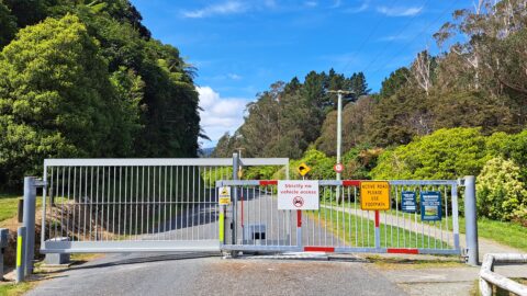
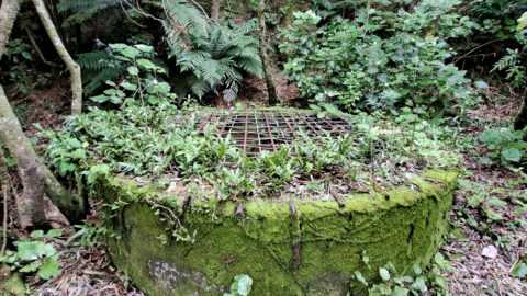
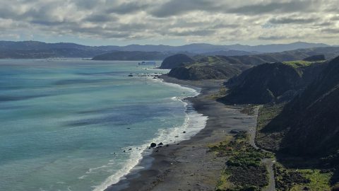
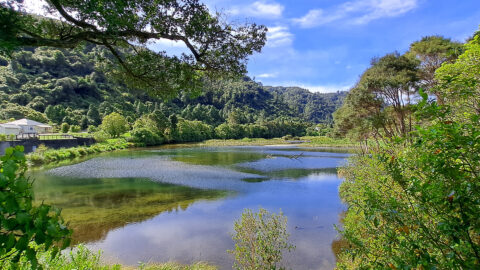
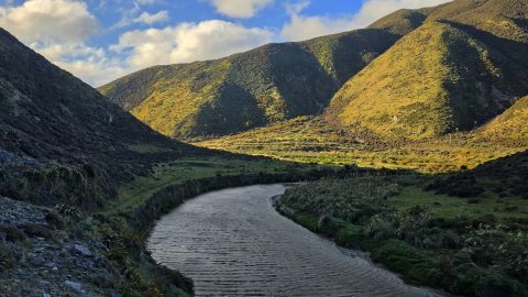
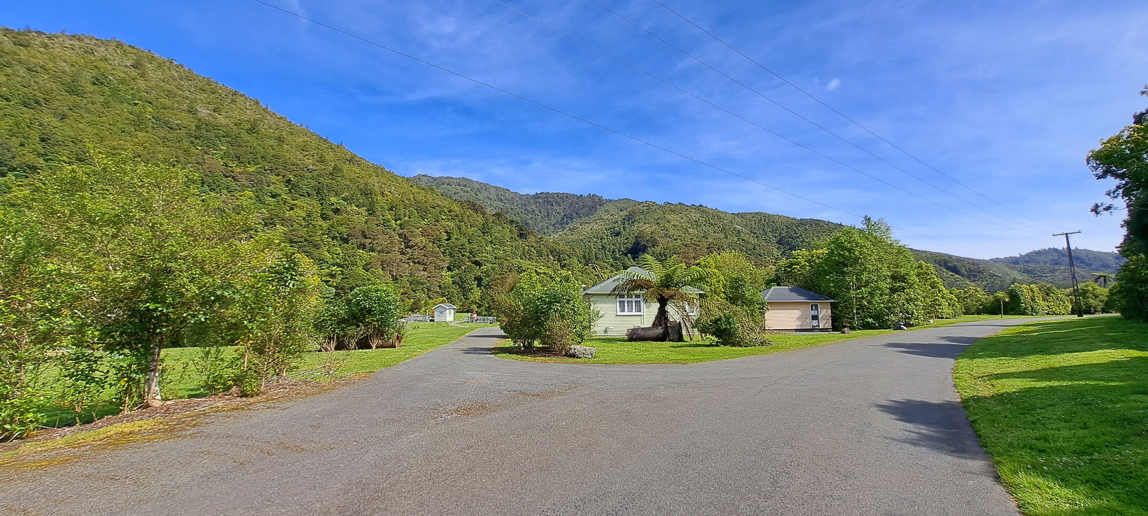
Looking at some old homes in the Wainuiomata Recreational Area. These homes among others once housed dam workers and their families. The green house to the left is now a museum.
ALL / Explore Oceania / Explore New Zealand / New Zealand Photos / Wainuiomata photos / Wainuiomata Recreational Area Homes
All original royalty-free photos, shareable maps, and informative articles.
Wainuiomata Recreational Area Homes
Page Views
This post has been viewed 980 times
Related Articles
-
Upper Section of the Wainuiomata River
Wainuiomata photos, Forests, Portrait / Vertical, Rivers
Looking at a section of the upper Wainuiomata River flowing along the base of the southern hillside in Reservoir...
-
Hine Road Recreation Area
Wainuiomata photos, Extra Wide Horizontal, Parks
Hine Road Recreation Area, formerly referred to as The Meadow by some, it comprised paddocks hosting grazing horses during...
-
Hine Road in Wainuiomata
Wainuiomata photos, Autumn, Extra Wide Horizontal, Roads, Trees
Hine Road in Wainuiomata explodes into color every Autumn. The street is lined with deciduous trees with pine trees...
-
Moores Valley Road in Mist
Wainuiomata photos, Extra Wide Horizontal, fog, Mountains, Roads
Moores Valley Road on a misty winter’s day in Wainuiomata presents a picturesque scene. One of the oldest roads...
-
Harry Todd Recreation Area
Wainuiomata photos, Extra Wide Horizontal, fog, Mountains, Parks
Looking the Harry Todd Recreation Area in Wainuiomata, with towering hills and mountains trapping clouds within the valleys.
-
Waterworks Wetland
Wainuiomata photos, Extra Wide Horizontal, Forests, Wetlands
The Wainuiomata Waterworks Wetlands are part of the Wainuiomata Regional Park, which encompasses lowland native forests and adjoins the...
-
Wainuiomata Valley Mist
Wainuiomata photos, Aerial, Extra Wide Horizontal, Mountains, Towns, Weather
Looking down over the valley where Wainuiomata lies. Its unique geography often leads to misty winter mornings, with low-hanging...
-
Pukeatua Bridge Wainuiomata
Wainuiomata photos, Bridges, Portrait / Vertical
Pukeatua Bridge in Wainuiomata crosses Wainuiomata Road at its highest point, 189 meters above sea level. This places the...
0 Comments
Popular Posts
- Awakening New Zealand video (100)
- Iguazu Falls as seen from Brazil (87)
- Metrocable Medellin (78)
- Pauatahanui Inlet (69)
- Spinnaker Hill View (69)
- Spinnaker Hill in Whitby Porirua (69)
- View from Whitby (68)
- The Devil’s Throat (63)
- Aerial View of Iguazu Falls (61)
- Porirua Harbour & Papakowhai (58)
- Lake Wakatipu (57)
- Salto Rivadavia & Iguassu River (56)
- Salto Rivadavia Misiones Province (54)
- Close up of Salto Rivadavia (54)
- Cascadas at Iguazu (54)
- Lake Tekapo & Lupins (54)
Subjects
AccommodationAnimalsArchitectureBeachesBirdsBoatsBridgesBuildingsCarsChurchesCitiesCoralCultureExtra Wide HorizontalFlowersForestsHarborsHomesIslandsLakesLandscape / HorizontalMapsMenMonumentsMountainsPalmsParksPeoplePlantsPortrait / VerticalRiversRoadsRuralSeaShopsSkyscrapersSnowSunsetsTownsTrailsTransportTreesVideosVolcanicWaterfalls
Recent Comments
- DavidJ on The True Size of Australia
- Anonymous on The True Size of Australia
- Lance on Concrete Hut Wainuiomata
- Tony on Concrete Hut Wainuiomata
- DavidJ on Wellington Night Skyline