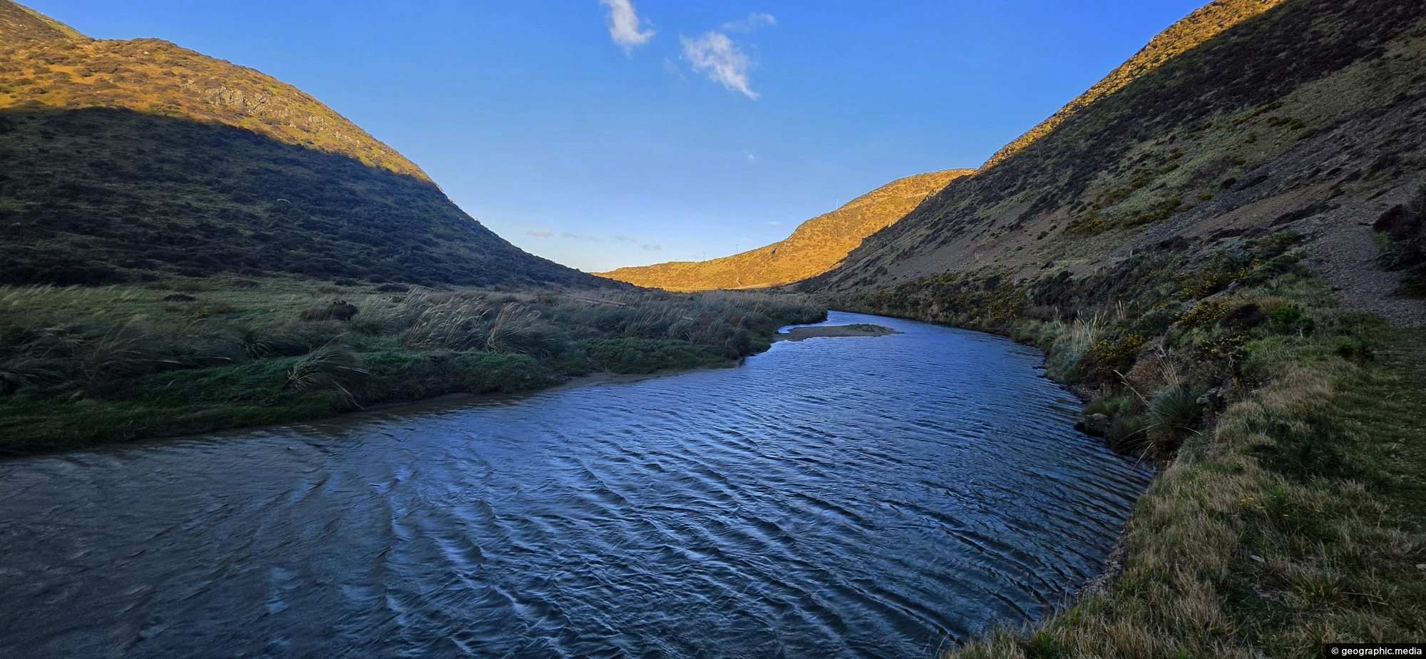
View south along the Wainuiomata River towards the coastline, with the shadow of Para Hill falling across the right-hand side.
Click Jigshare icon to turn the image into a jigsaw. Or click on photo to download or view full screen image.

View south along the Wainuiomata River towards the coastline, with the shadow of Para Hill falling across the right-hand side.
Looking towards the head of the Ōrongorongo Valley and into the Remutaka Range, as viewed from the coastal walk...
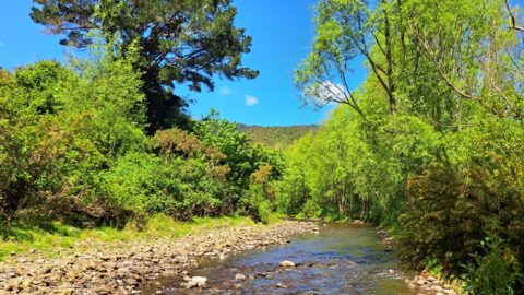
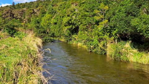
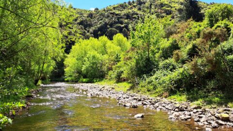
The section of the Wainuiomata River meanders along the edge of Richard Prouse Park, offering several nearby swimming spots.
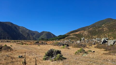
Ōrongorongo Station is a large and historic rural property located near the southern end of Coast Road in Wainuiomata,...
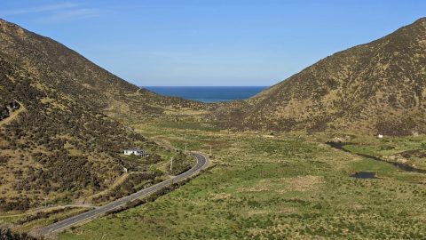
Coast Road and Wainuiomata River in view. Near the horizon is the Cook Strait, a body of water between...
Looking at an almost inaccessible part of the Wainuiomata River. There are no tracks leading here, but you gain...
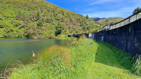
View of the decommissioned Wainuiomata Lower Dam (named Morton Dam). This dam once supplied water to Wellington along with...
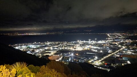
Looking at Seaview and Wellington Harbour as seen from the Wainuiomata Lookout at the top of Wainuiomata Road.
View of Wainuiomata River on the edge of Richard Prouse Park. This part of the river has a few...
