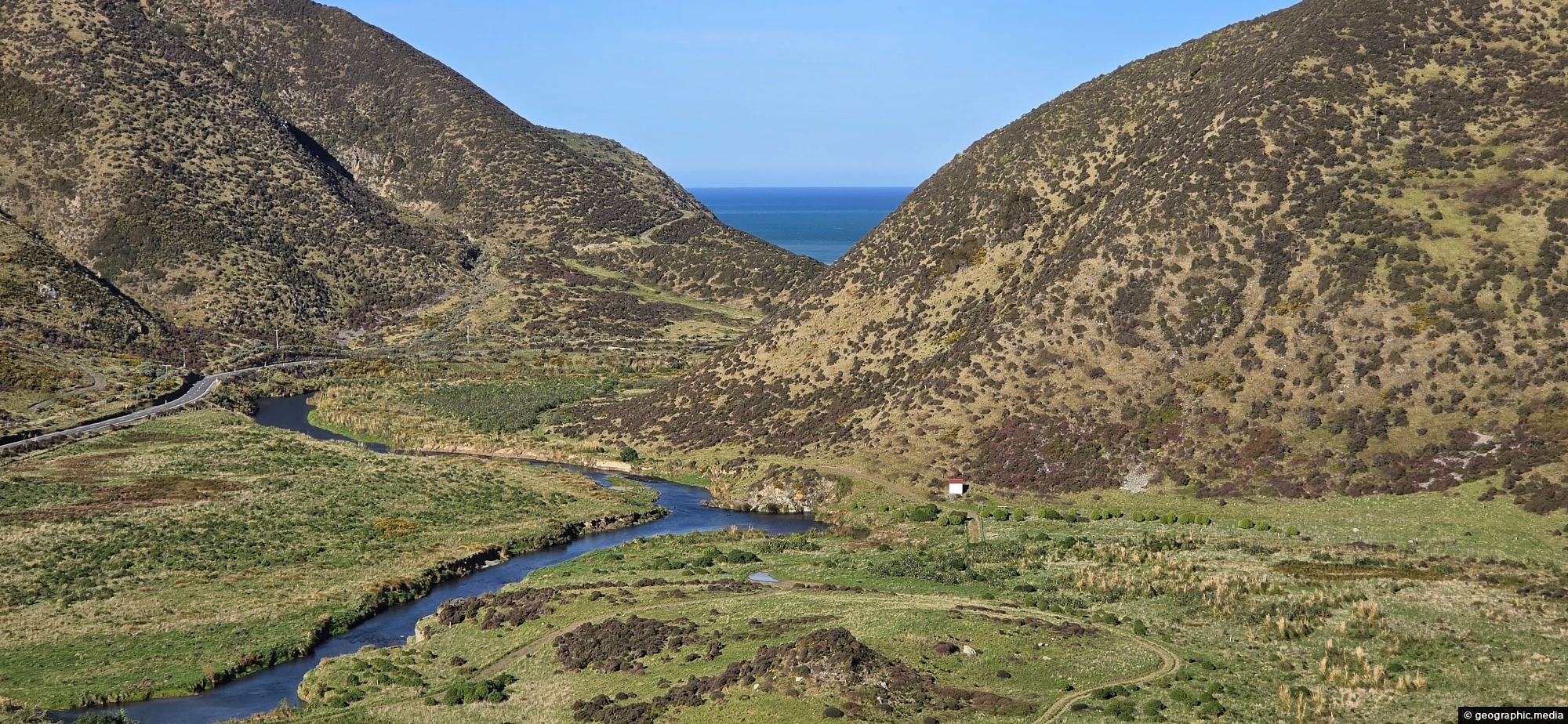
Looking across the southern section of the Wainuiomata River before it flows beyond the south coast and out into Cook Strait.
Click Jigshare icon to turn the image into a jigsaw. Or click on photo to download or view full screen image.

Looking across the southern section of the Wainuiomata River before it flows beyond the south coast and out into Cook Strait.
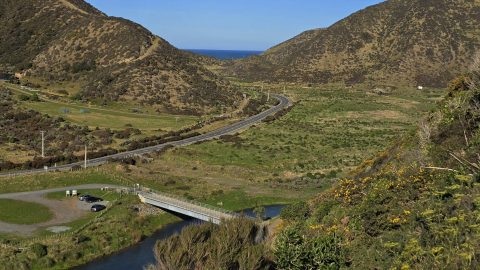
Looking along Coast Road near the southern coastline, with Lighthouse Bridge in view as it spans the Wainuiomata River.
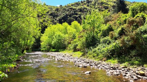
View of Wainuiomata River on the edge of Richard Prouse Park. This part of the river has a few...
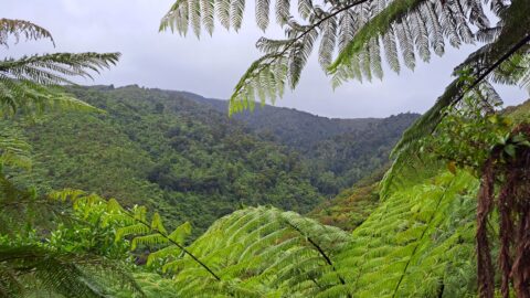
Looking into Catchpool Valley from the Orongorongo Track in Wainuiomata, where the route passes through the valley.
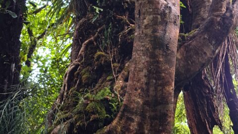
This old tree has hosts many different epiphyte species. An epiphyte refers to a plant species that thrives by...
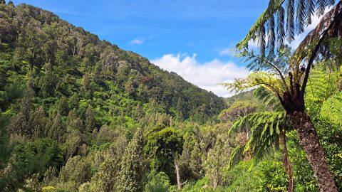
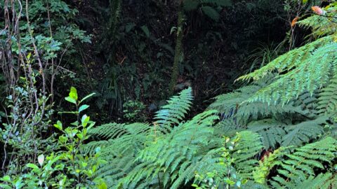
A ravine close to Sledge Creek Track in Reservoir Valley in Wainuiomata. The area is covered in podocarp rainforest...
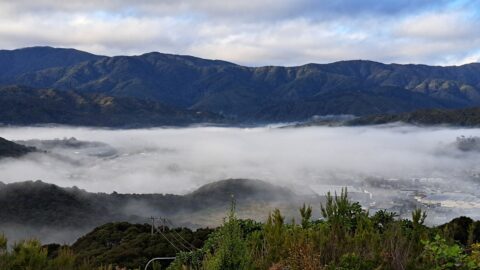
Wainuiomata often experiences misty mornings on fine days due to its valley geography and cool overnight conditions. Surrounded by...
The sight from the summit of the western slope arm overlooks Nikau Creek Valley. On the opposing slope lies...
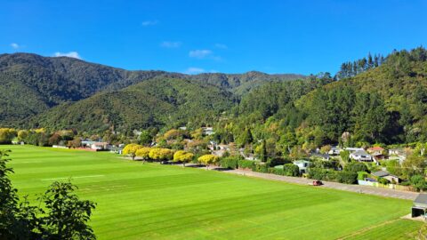
Overlooking Richard Prouse Park, with Harry Todd Recreation Reserve on the hillside to the right and Wainuiomata Regional Park...
