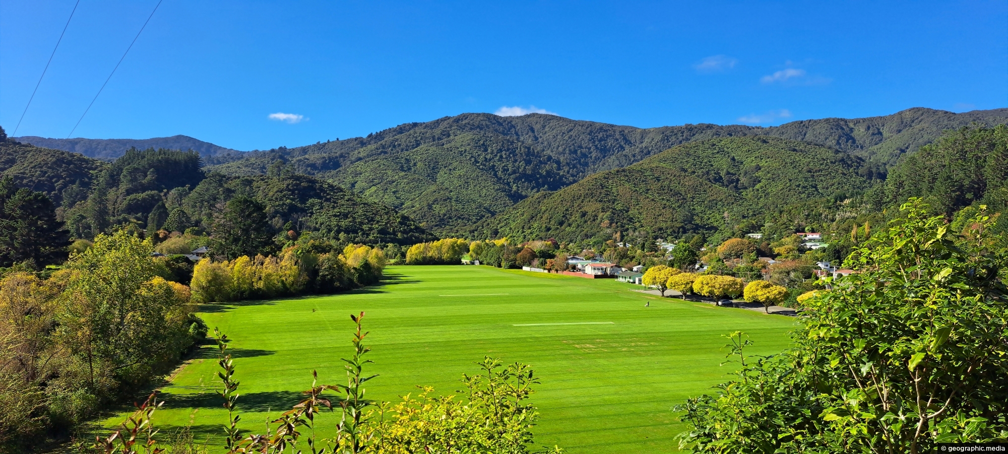
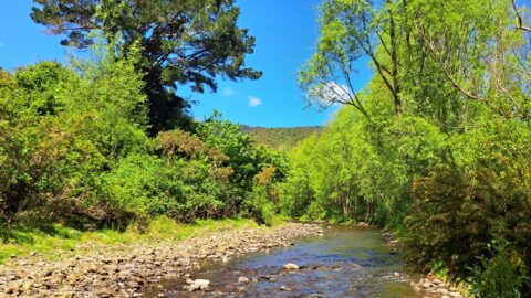
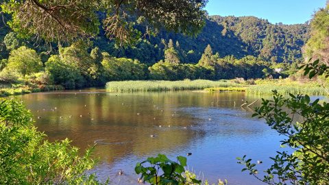
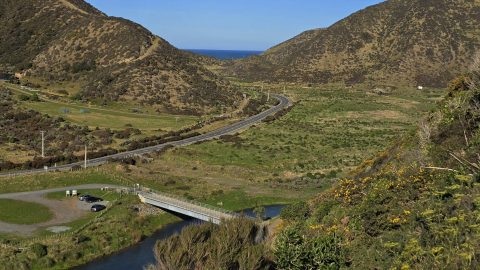
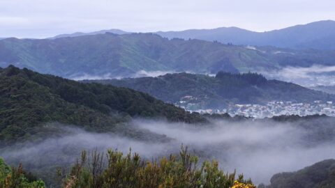
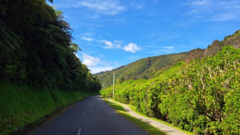
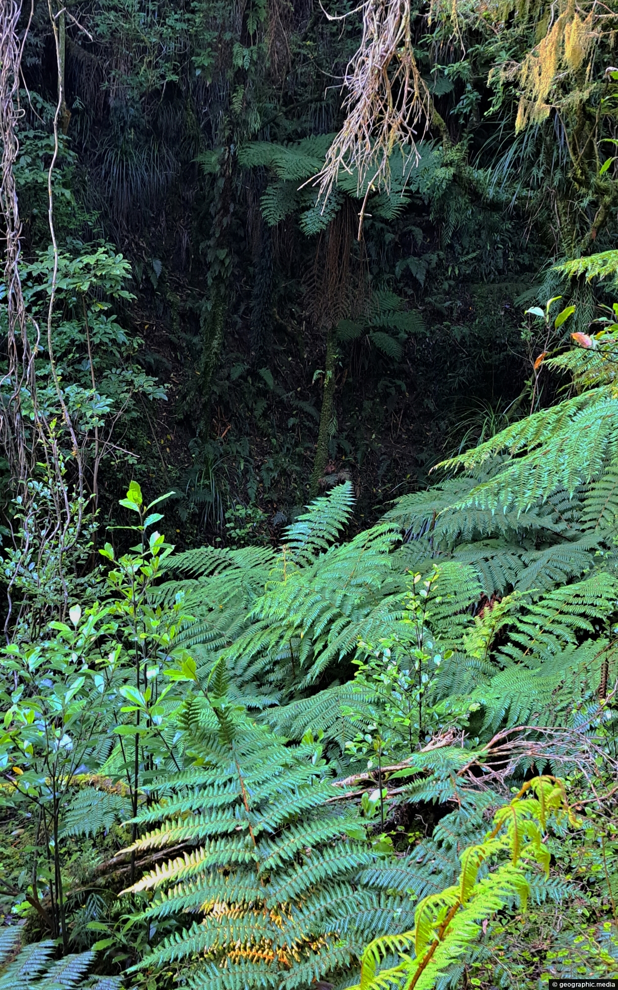
A ravine close to Sledge Creek Track in Reservoir Valley in Wainuiomata. The area is covered in podocarp rainforest which is typical of New Zealand’s lower North Island.
ALL / Explore Oceania / Explore New Zealand / New Zealand Photos / Wainuiomata photos / Ravine Near Sledge Track Creek
All original royalty-free photos, shareable maps, and informative articles.
Ravine Near Sledge Track Creek
Page Views
This post has been viewed 530 times
Related Articles
-
Wainuiomata Recreational Area Homes
Wainuiomata photos, Extra Wide Horizontal, Homes, Roads
Looking at some old homes in the Wainuiomata Recreational Area. These homes among others once housed dam workers and...
-
Hine Road & Harry Todd Recreation Reserve
Wainuiomata photos, Extra Wide Horizontal, Mountains, Parks
Hine Road in Wainuiomata, with Harry Todd Recreation Reserve visible in the background to the right. Behind it to...
-
Wainuiomata Recreational Area Wetlands
Wainuiomata photos, Extra Wide Horizontal, Forests, Wetlands
The decommissioned Wainuiomata Lower Dam which once supplied water to Wellington is now a natural wetland.
-
Wainuiomata Lookout at Night
Wainuiomata photos, Cities, Harbors, Landscape / Horizontal, Mountains, Night
Looking at Seaview and Wellington Harbour as seen from the Wainuiomata Lookout at the top of Wainuiomata Road.
-
Unnamed Creek in Wainuiomata Regional Park
Wainuiomata photos, Forests, Portrait / Vertical, Rivers
There are numerous unnamed creeks and streams in Wainuiomata Regional Park that feed into the Wainuiomata River including this...
-
Rata Street in Wainuiomata
Wainuiomata photos, Cars, Portrait / Vertical, Roads
View of Rata Street in Wainuiomata looking south. This seating area is close to a public walkway that takes...
-
Hine Road in Autumn
Wainuiomata photos, Extra Wide Horizontal, Parks
Hine Road street trees out on quite the show during autumn. The region where this street lies was once...
-
Lower Dam Spillway Lookout
Wainuiomata photos, Dams, Extra Wide Horizontal, Forests, Rivers
View of the spillway and lookout. The Wainuiomata River is channeled from a wetland, continuing its course beneath as...
0 Comments
Popular Posts
- Awakening New Zealand video (100)
- Iguazu Falls as seen from Brazil (87)
- Metrocable Medellin (78)
- Pauatahanui Inlet (69)
- Spinnaker Hill View (69)
- Spinnaker Hill in Whitby Porirua (69)
- View from Whitby (68)
- The Devil’s Throat (63)
- Aerial View of Iguazu Falls (61)
- Porirua Harbour & Papakowhai (58)
- Lake Wakatipu (57)
- Salto Rivadavia & Iguassu River (56)
- Salto Rivadavia Misiones Province (54)
- Close up of Salto Rivadavia (54)
- Cascadas at Iguazu (54)
- Lake Tekapo & Lupins (54)
Subjects
AccommodationAnimalsArchitectureBeachesBirdsBoatsBridgesBuildingsCarsChurchesCitiesCoralCultureExtra Wide HorizontalFlowersForestsHarborsHomesIslandsLakesLandscape / HorizontalMapsMenMonumentsMountainsPalmsParksPeoplePlantsPortrait / VerticalRiversRoadsRuralSeaShopsSkyscrapersSnowSunsetsTownsTrailsTransportTreesVideosVolcanicWaterfalls
Recent Comments
- DavidJ on The True Size of Australia
- Anonymous on The True Size of Australia
- Lance on Concrete Hut Wainuiomata
- Tony on Concrete Hut Wainuiomata
- DavidJ on Wellington Night Skyline