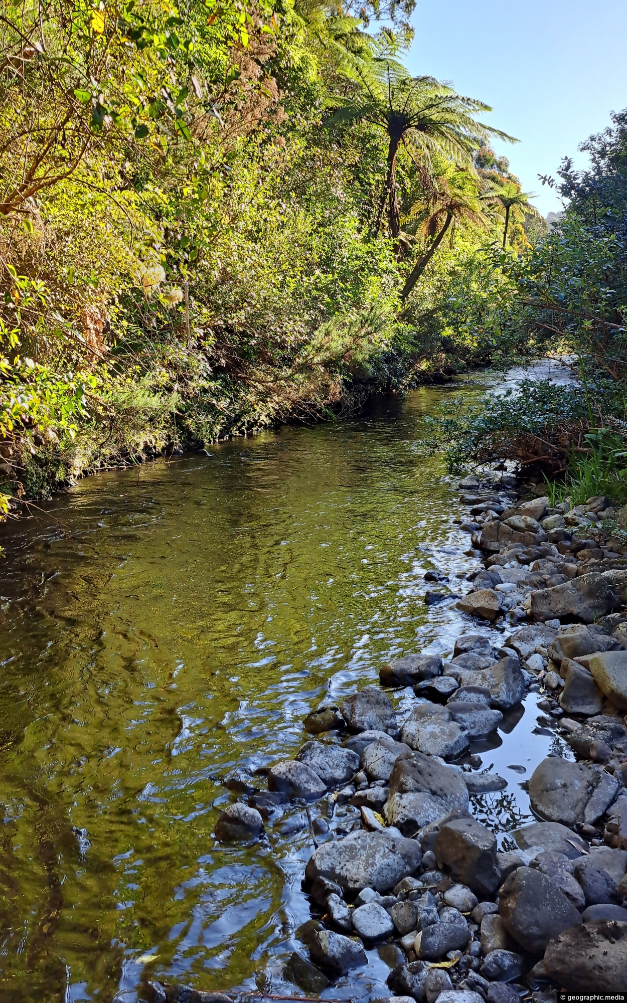
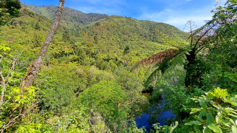
Looking at a section of the upper Wainuiomata River flowing along the base of the southern hillside in Reservoir Valley.
Click Jigshare icon to turn the image into a jigsaw. Or click on photo to download or view full screen image.

Looking at a section of the upper Wainuiomata River flowing along the base of the southern hillside in Reservoir Valley.
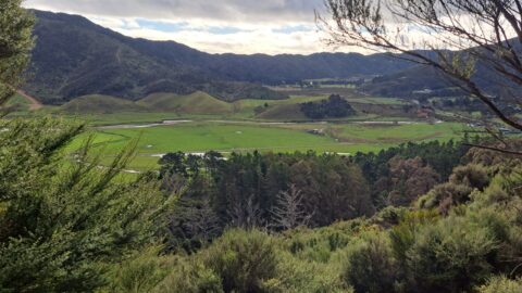
Looking down on farmland in the Coast Road area of Wainuiomata. Coast Road flows southwards from suburban streets into...
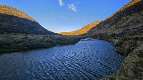
View south along the Wainuiomata River towards the coastline, with the shadow of Para Hill falling across the right-hand...
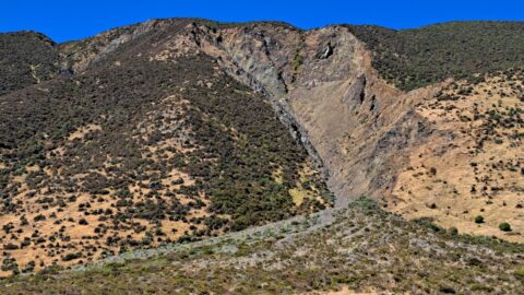
This shingle fan reveals a massive accumulation of scree cascading from the hillside, spreading out in a fan-like shape...
Peering through native forest at the Wainuiomata River below. The hill in the background is a foothill in the...
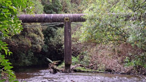
The O-K Main in Wainuiomata, also known as the Orongorongo Pipeline, carried water from the Orongorongo Catchment to Karori,...
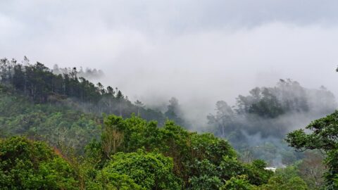
Looking the Harry Todd Recreation Area in Wainuiomata, with towering hills and mountains trapping clouds within the valleys.
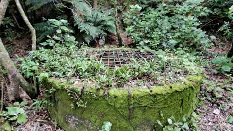
The Richard Prouse Park Tunnel (once known as Colemans Tunnel) was constructed between 1881 and 1882. It is situated...
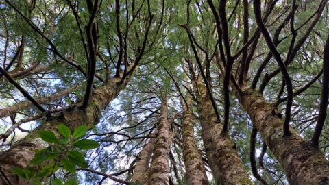
Young kahikatea trees growing skyward. Over time, these trees will become giants within the forest, reaching heights of 60...
