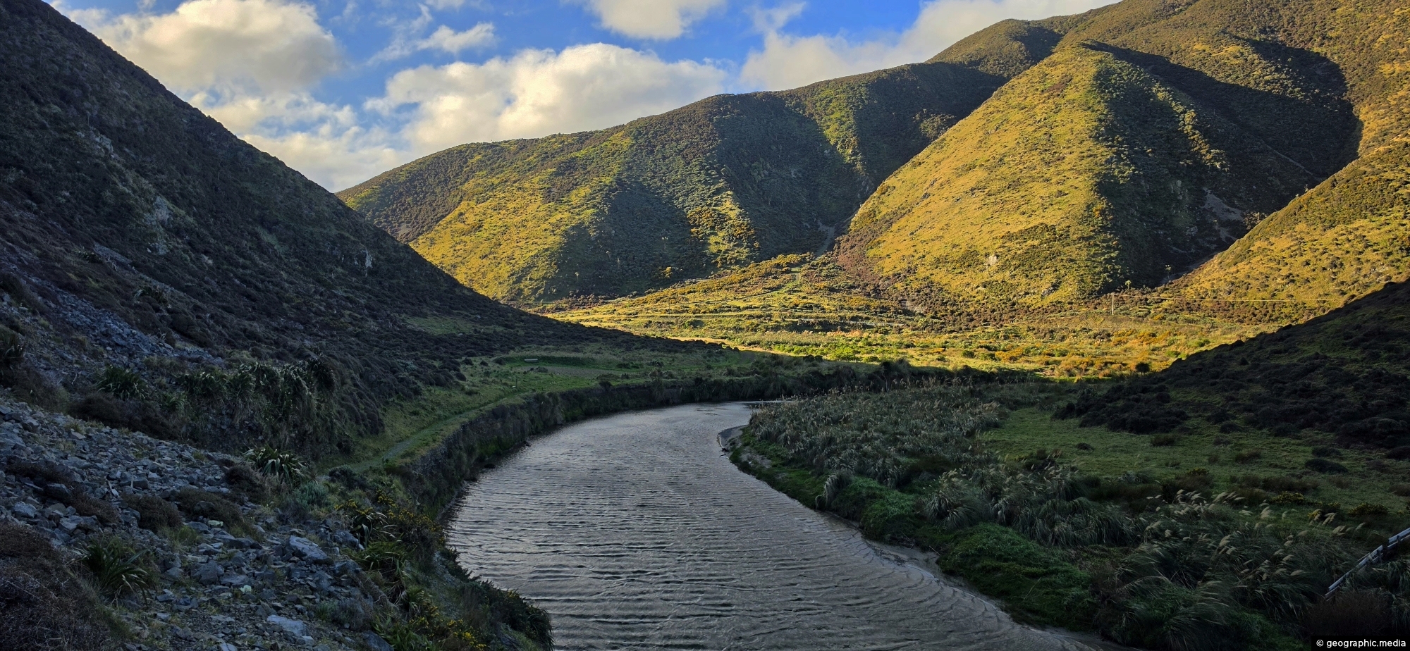
The Wainuiomata River, viewed from the Great Loop Walk beneath the shadow of Para Hill, near the Wainuiomata coast.
Click Jigshare icon to turn the image into a jigsaw. Or click on photo to download or view full screen image.

The Wainuiomata River, viewed from the Great Loop Walk beneath the shadow of Para Hill, near the Wainuiomata coast.
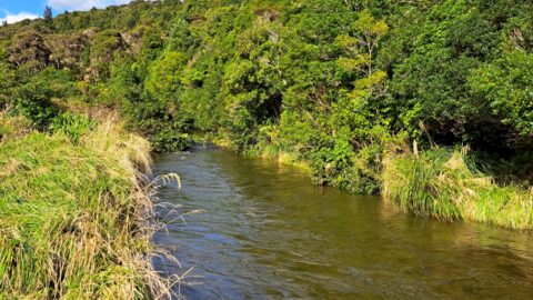
Looking at an almost inaccessible part of the Wainuiomata River. There are no tracks leading here, but you gain...
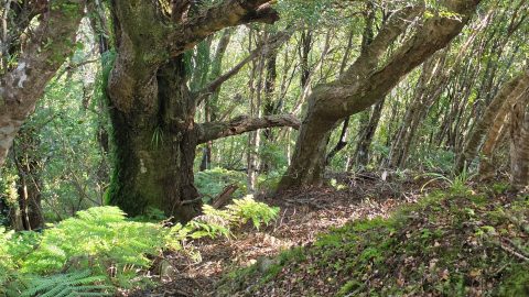
Large trees along the permitter of Bruce’s Track in Wainuiomata. This track connects with both Mount Crowther Track and...
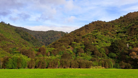
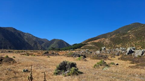
Looking at the foothills of the Remutaka Range in Wainuiomata. This location is near the Wainuiomata River and offers...
Looking towards the head of the Ōrongorongo Valley and into the Remutaka Range, as viewed from the coastal walk...
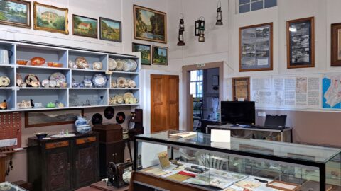
Looking at one of the rooms in the Wainuiomata Museum that displays artefacts from the past as well as...
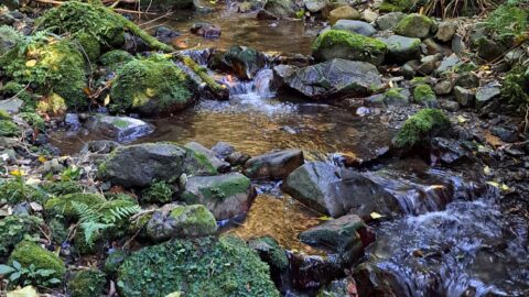
Looking at Nikau Creek in Wainuiomata Regional Park. The creek can be seen from a short scenic walk called...
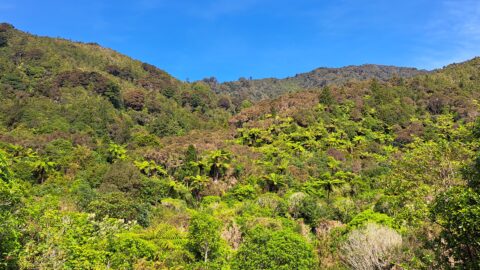
Looking at a forested foothill in the Remutaka Range. The Lower Hutt suburb of Wainuiomata is set below these...
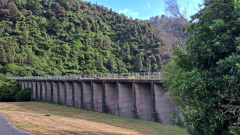
Looking at Morton Dam in the year 2024, after being decommissioned some 36 years before. It once supplied the...
