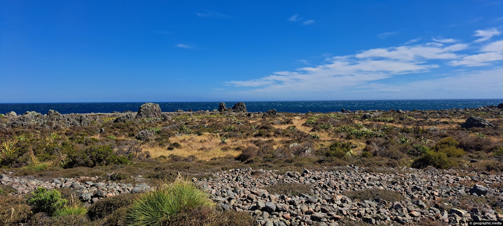
This view shows rocks that once formed the coastline prior to the 1855 Wairarapa earthquake. The powerful 8.2 magnitude earthquake caused the land to uplift by approximately 2 to 3 metres (6 to 10 feet), shifting the coastline inland. The elevated land visible beyond the rocks marks the area raised by this seismic event.
Click image for fullscreen.