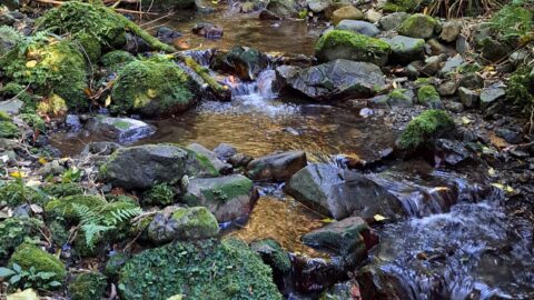
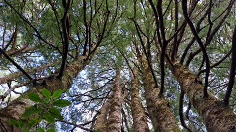
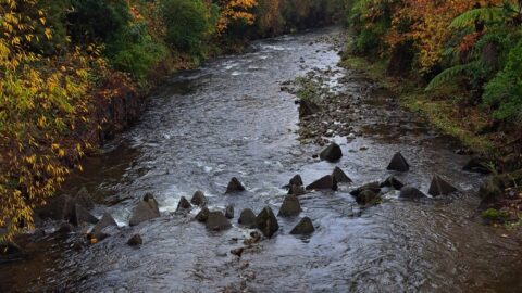
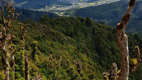
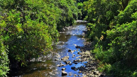
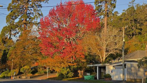
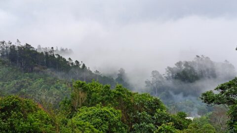
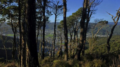
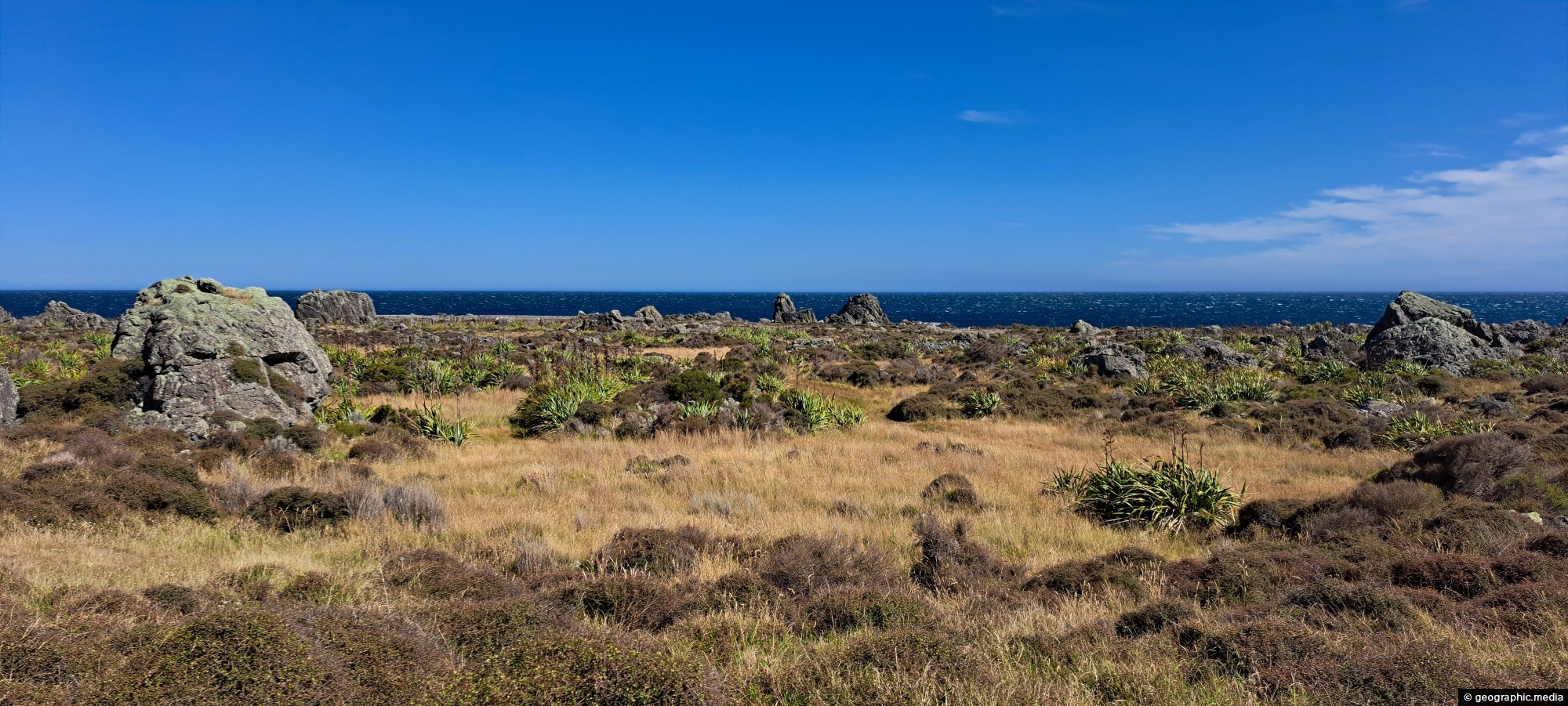
Turakirae Head Scientific Reserve located on the southern coast of Wainuiomata in New Zealand, is renowned for its geological and ecological significance. The reserve showcases uplifted beach terraces, evidence of tectonic activity along the Wellington Fault, and provides an exceptional record of earthquakes over thousands of years. There is clear evidence of four different coastlines with each newer coastline resulting from uplifting of land.
ALL / Explore Oceania / Explore New Zealand / New Zealand Photos / Wainuiomata photos / Turakirae Head Scientific Reserve
All original royalty-free photos, shareable maps, and informative articles.
Turakirae Head Scientific Reserve
Page Views
This post has been viewed 600 times
Related Articles
-
Pukeatua Bridge Wainuiomata
Wainuiomata photos, Bridges, Portrait / Vertical
Pukeatua Bridge in Wainuiomata crosses Wainuiomata Road at its highest point, 189 meters above sea level. This places the...
-
Coast Road and Wainuiomata River
Wainuiomata photos, Extra Wide Horizontal, Rivers, Roads, Rural, Sea
Coast Road and Wainuiomata River in view. Near the horizon is the Cook Strait, a body of water between...
-
Queen Street Reserve in Fall
Wainuiomata photos, Autumn, Portrait / Vertical, Trees
Observing Queen Street Reserve in the fall, you’ll find a charming oasis nestled in the heart of the Wainuiomata...
-
Wainuiomata Lower Dam
Wainuiomata photos, Extra Wide Horizontal, Forests, Wetlands
View of the decommissioned Wainuiomata Lower Dam (named Morton Dam). This dam once supplied water to Wellington along with...
-
Hine Road in Autumn
Wainuiomata photos, Extra Wide Horizontal, Parks
Hine Road street trees out on quite the show during autumn. The region where this street lies was once...
-
The Meadow in Wainuiomata
Wainuiomata photos, Autumn, Extra Wide Horizontal, Parks
What was once called The Meadow is now Hine Road Recreation Area, a grassy area that sits alongside Wainuiomata...
-
Coast Road Church in Wainuiomata
Wainuiomata photos, Churches, Extra Wide Horizontal
The historic Coast Road Church in Wainuiomata is one of the valley’s oldest surviving buildings and the oldest original...
-
View of Wellington from Wainuiomata Regional Park
Wainuiomata photos, Cities, Extra Wide Horizontal, Forests, Harbors, Mountains
From the peaks of Wainuiomata Regional Park the views are astounding. You can see Wellington Harbour and the city.
0 Comments
Popular Posts
- Awakening New Zealand video (100)
- Iguazu Falls as seen from Brazil (87)
- Metrocable Medellin (78)
- Pauatahanui Inlet (69)
- Spinnaker Hill View (69)
- Spinnaker Hill in Whitby Porirua (69)
- View from Whitby (68)
- The Devil’s Throat (63)
- Aerial View of Iguazu Falls (61)
- Porirua Harbour & Papakowhai (58)
- Lake Wakatipu (57)
- Salto Rivadavia & Iguassu River (56)
- Salto Rivadavia Misiones Province (54)
- Close up of Salto Rivadavia (54)
- Cascadas at Iguazu (54)
- Lake Tekapo & Lupins (54)
Subjects
AccommodationAnimalsArchitectureBeachesBirdsBoatsBridgesBuildingsCarsChurchesCitiesCoralCultureExtra Wide HorizontalFlowersForestsHarborsHomesIslandsLakesLandscape / HorizontalMapsMenMonumentsMountainsPalmsParksPeoplePlantsPortrait / VerticalRiversRoadsRuralSeaShopsSkyscrapersSnowSunsetsTownsTrailsTransportTreesVideosVolcanicWaterfalls
Recent Comments
- DavidJ on The True Size of Australia
- Anonymous on The True Size of Australia
- Lance on Concrete Hut Wainuiomata
- Tony on Concrete Hut Wainuiomata
- DavidJ on Wellington Night Skyline