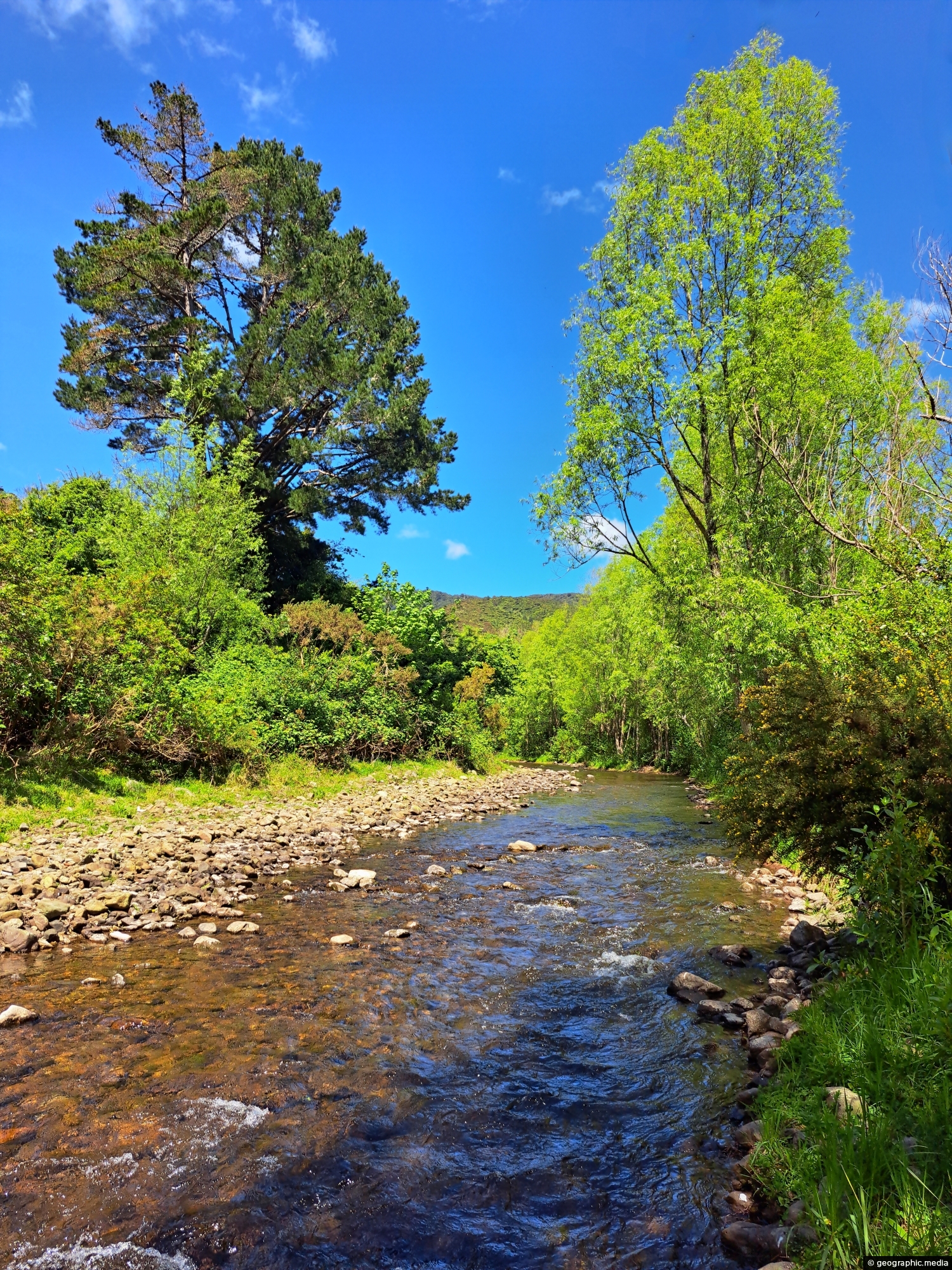
The section of the Wainuiomata River meanders along the edge of Richard Prouse Park, offering several nearby swimming spots.
Click image for fullscreen.

The section of the Wainuiomata River meanders along the edge of Richard Prouse Park, offering several nearby swimming spots.
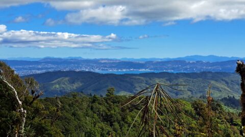
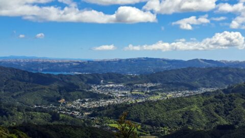
From the peaks of Wainuiomata Regional Park the views are astounding. You can see Wellington Harbour and the city.
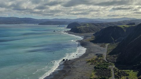
Looking down over Fitzroy Bay and along the south coast of the North Island, with the Interislander ferry visible...
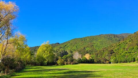
What was once called The Meadow is now Hine Road Recreation Area, a grassy area that sits alongside Wainuiomata...
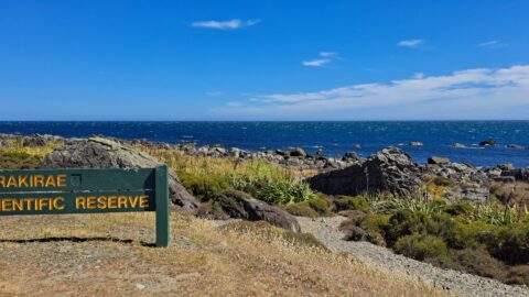
A sign notifying walkers that they are entering the Turakirae Head Scientific Reserve. Situated on the southern coast of...
This bird’s-eye perspective of Wainuiomata illustrates how the suburb resides within its unique valley, distinct from the broader Hutt...
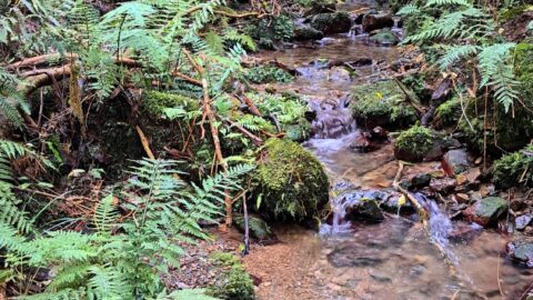
There are numerous unnamed creeks and streams in Wainuiomata Regional Park that feed into the Wainuiomata River including this...
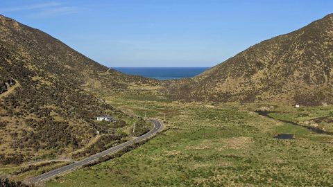
Coast Road and Wainuiomata River in view. Near the horizon is the Cook Strait, a body of water between...
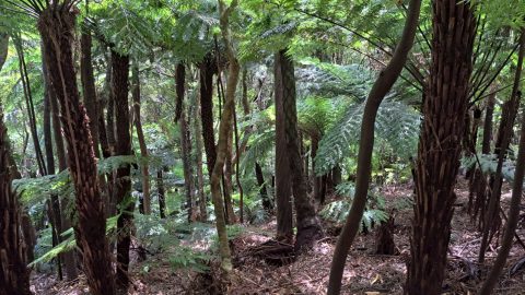
Fern trees are widespread throughout New Zealand forests and typically thrive in shaded areas with consistent rainfall.