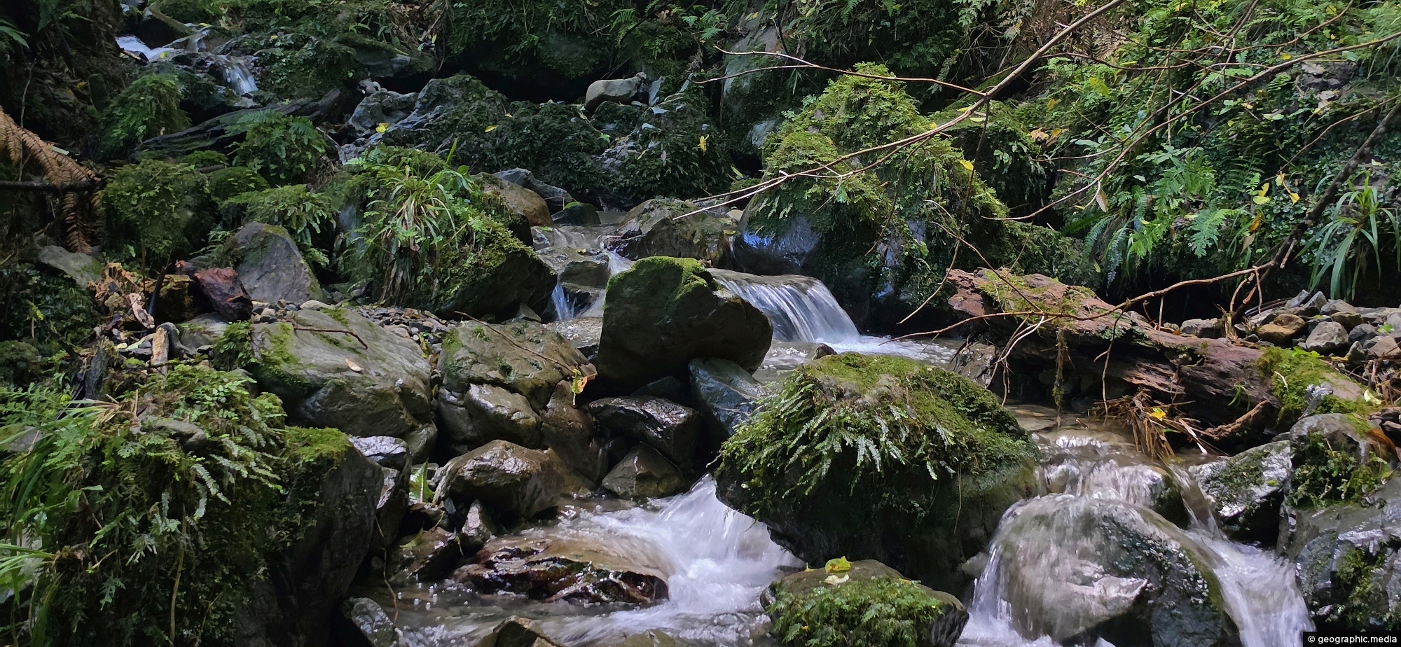
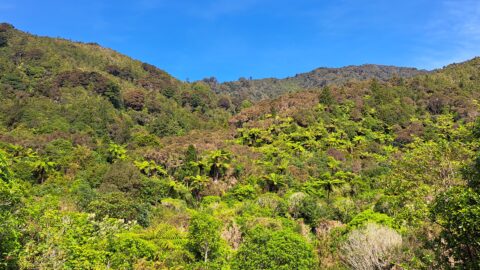
A view of Nikau Creek deep in the gully, through dense native bush, and beyond Nikau Creek Track in Wainuiomata Regional Park.
Click Jigshare icon to turn the image into a jigsaw. Or click on photo to download or view full screen image.

A view of Nikau Creek deep in the gully, through dense native bush, and beyond Nikau Creek Track in Wainuiomata Regional Park.
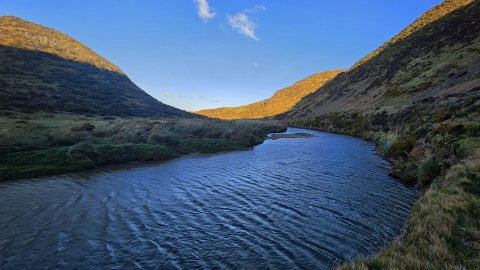
View south along the Wainuiomata River towards the coastline, with the shadow of Para Hill falling across the right-hand...
A view overlooking Richard Prouse Park and the surrounding hills from The Rock on Moores Valley Road. Once a...
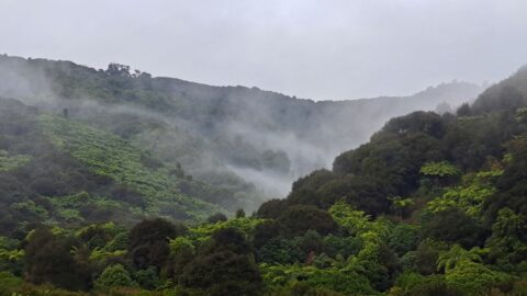
A misty day at Nikau Creek Valley in Wainuiomata Regional Park offers a striking view. During winter, Wainuiomata occasionally...
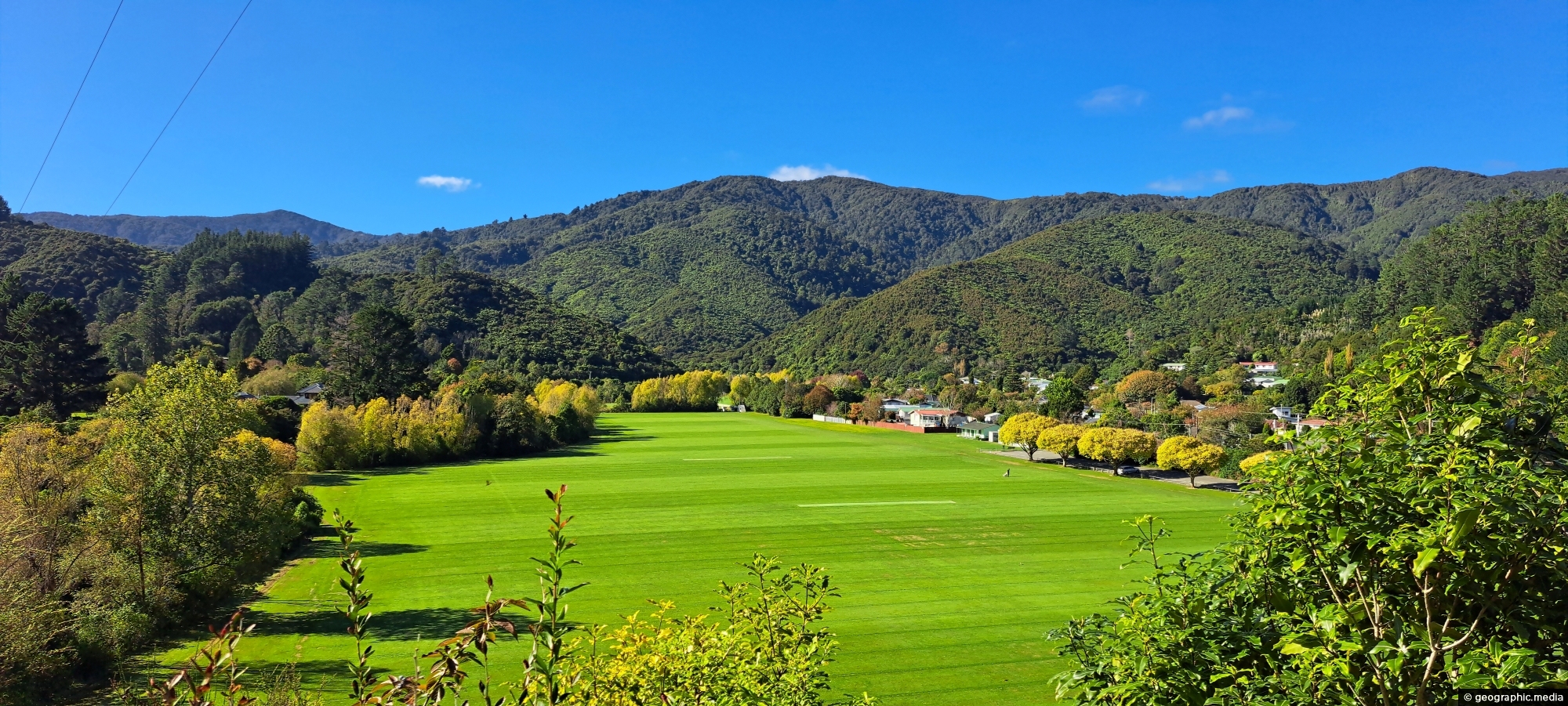
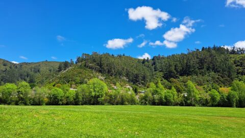
A sunny day at Richard Prouse Park in Wainuiomata looking toward Hine Road and Sunny Grove. The hills are...
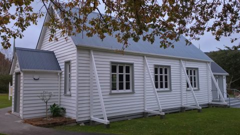
The historic Coast Road Church in Wainuiomata is one of the valley’s oldest surviving buildings and the oldest original...
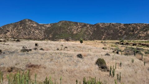
Gazing upon parched farmland during the summer months, situated along the Coast Road in Wainuiomata, New Zealand.
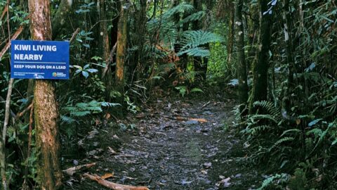
Sledge Track Creek in Wainuiomata is a habitat for kiwi, New Zealand’s national bird. These flightless and endangered birds...
Looking at a forested foothill in the Remutaka Range. The Lower Hutt suburb of Wainuiomata is set below these...
