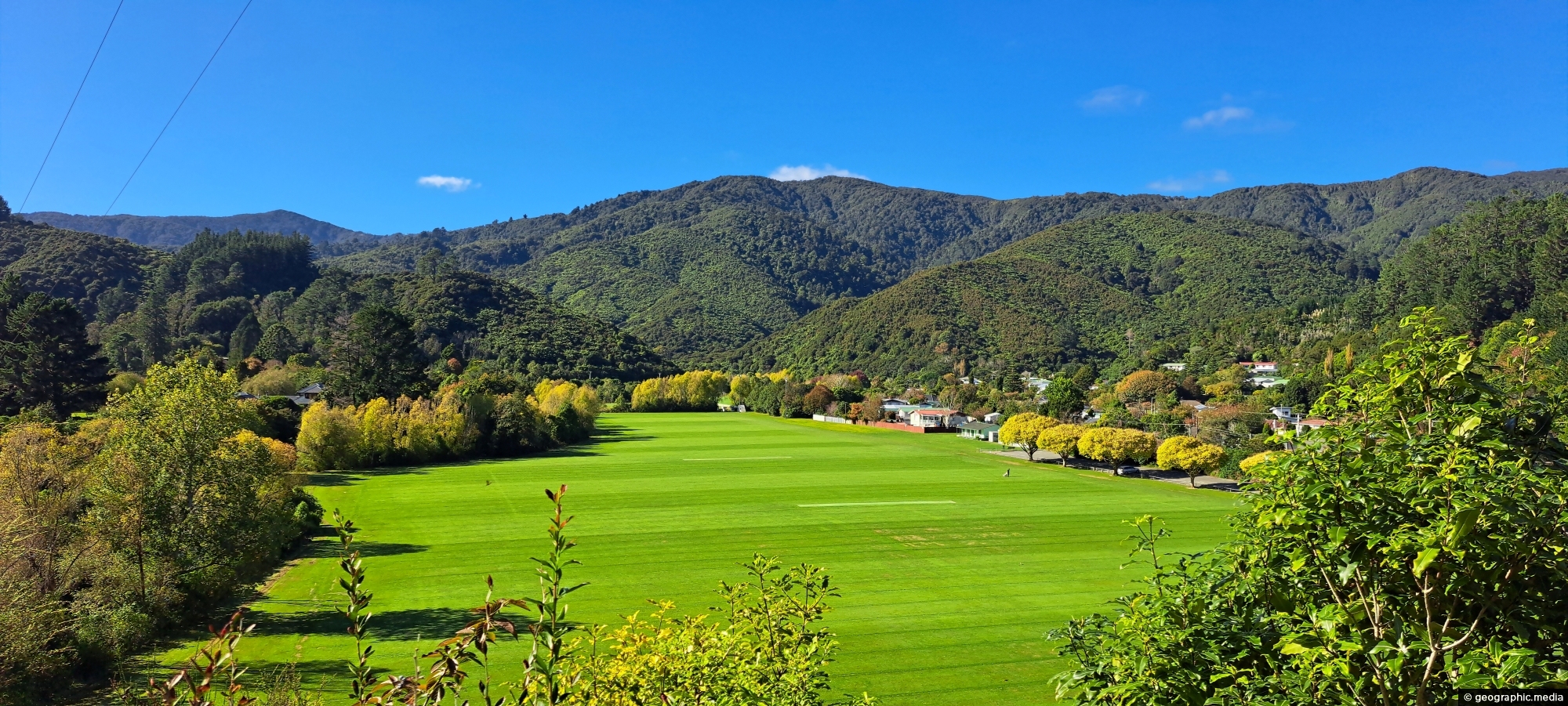
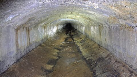
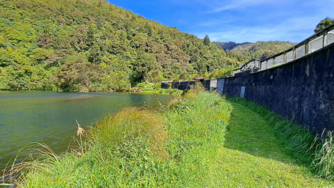
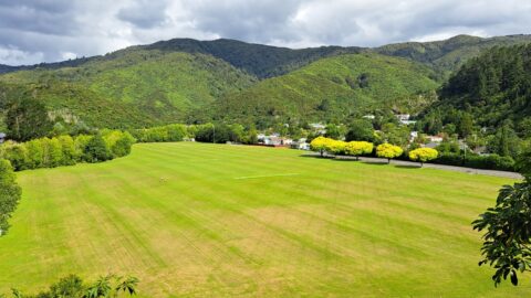
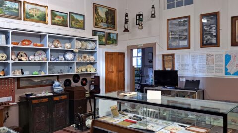
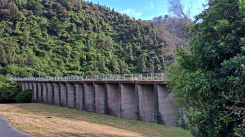
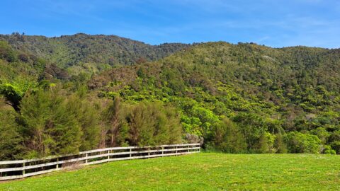
The Concrete Race, also known as the Water Race, is a buried tunnel that once carried clean river water from an old dam to a pipeline about two kilometres away. It is hidden within native bush and is now mostly underground, though a few short exposed sections are known to a few. The race was decommissioned in 1902 after newer intakes and treatment facilities were built, but it remains an important example of early water engineering in the Wellington region.
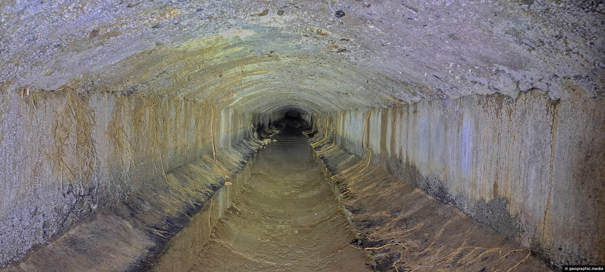
Concrete Race
Page Views
This post has been viewed 296 times
Related Articles
-
Giant Tree in Wainuiomata Regional Park
Wainuiomata photos, Portrait / Vertical, Trees
View of a giant tree in Wainuiomata in an area that was never logged. While the most of the...
-
Richard Prouse Park Tunnel
Wainuiomata photos, Abandoned, Extra Wide Horizontal, Tunnels
The Richard Prouse Park Tunnel (once known as Colemans Tunnel) was constructed between 1881 and 1882. It is situated...
-
Upper Reaches of Wainuiomata River
Wainuiomata photos, Forests, Portrait / Vertical, Rivers
Looking at an almost inaccessible part of the Wainuiomata River. There are no tracks leading here, but you gain...
-
O-K Main in Wainuiomata
Wainuiomata photos, Extra Wide Horizontal, Rivers
The O-K Main in Wainuiomata, also known as the Orongorongo Pipeline, carried water from the Orongorongo Catchment to Karori,...
-
Old Meter Hut
Wainuiomata photos, Abandoned, Extra Wide Horizontal, Tunnels
Hidden in the Wainuiomata bushline, this old meter hut once housed equipment used to measure water flow through the...
-
South Coast & Coastal Vegetation
Wainuiomata photos, Beaches, Extra Wide Horizontal
A view of the rugged coastline and native vegetation on the southern North Island, specifically in Wainuiomata. This section...
-
Wainuiomata River and Regional Park
Wainuiomata photos, Extra Wide Horizontal, Mountains, Rivers
Looking at Wainuiomata River within Wainuiomata Regional Park. Also in view is the Remutaka mountain range.
-
Nikau Creek Track
Wainuiomata photos, Ferns, Forests, Portrait / Vertical
The Nikau Creek Track is a short 30 minute walk that takes you through the podocarp rainforest found in...
0 Comments
Popular Posts
- Awakening New Zealand video (100)
- Iguazu Falls as seen from Brazil (87)
- Metrocable Medellin (78)
- Pauatahanui Inlet (69)
- Spinnaker Hill View (69)
- Spinnaker Hill in Whitby Porirua (69)
- View from Whitby (68)
- The Devil’s Throat (63)
- Aerial View of Iguazu Falls (61)
- Porirua Harbour & Papakowhai (58)
- Lake Wakatipu (57)
- Salto Rivadavia & Iguassu River (56)
- Salto Rivadavia Misiones Province (54)
- Close up of Salto Rivadavia (54)
- Cascadas at Iguazu (54)
- Lake Tekapo & Lupins (54)
Subjects
AccommodationAnimalsArchitectureBeachesBirdsBoatsBridgesBuildingsCarsChurchesCitiesCoralCultureExtra Wide HorizontalFlowersForestsHarborsHomesIslandsLakesLandscape / HorizontalMapsMenMonumentsMountainsPalmsParksPeoplePlantsPortrait / VerticalRiversRoadsRuralSeaShopsSkyscrapersSnowSunsetsTownsTrailsTransportTreesVideosVolcanicWaterfalls
Recent Comments
- DavidJ on The True Size of Australia
- Anonymous on The True Size of Australia
- Lance on Concrete Hut Wainuiomata
- Tony on Concrete Hut Wainuiomata
- DavidJ on Wellington Night Skyline