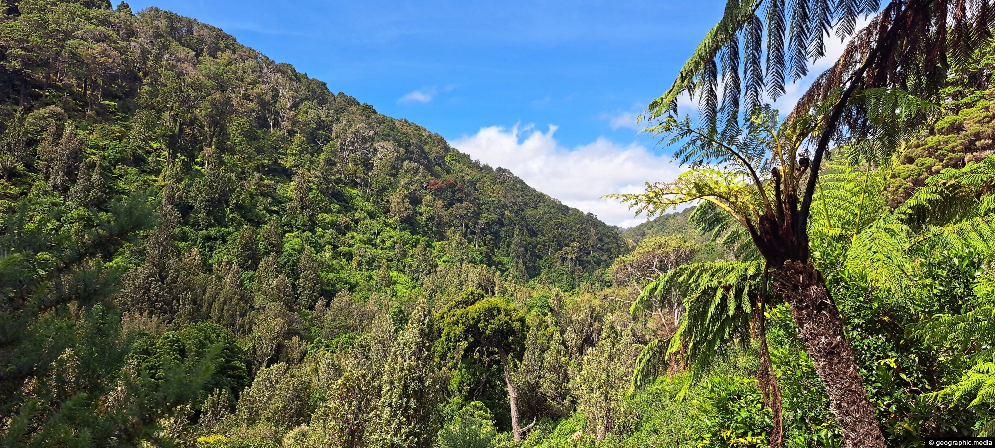
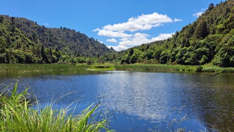
Looking into Catchpool Valley from the Orongorongo Track in Wainuiomata, where the route passes through the valley.
Click Jigshare icon to turn the image into a jigsaw. Or click on photo to download or view full screen image.

Looking into Catchpool Valley from the Orongorongo Track in Wainuiomata, where the route passes through the valley.
Although Wainuiomata is considered a suburb of Lower Hutt, it is nestled within its own secluded valley distinct from...
The suburb of Wainuiomata was largely comprised of swamp. in 1855 a massive 8.2 earthquake raised much land above...
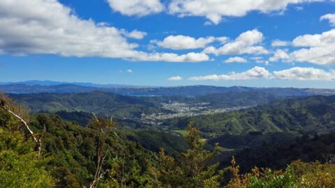
A view overlooking Richard Prouse Park and the surrounding hills from The Rock on Moores Valley Road. Once a...
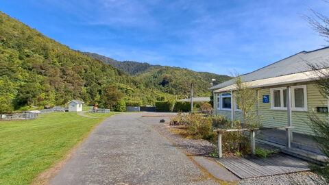
View of the museum in the Wainuiomata Recreational Area. This house among others originally homed workers at the dam.
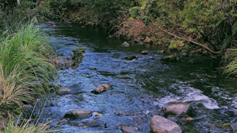
Looking at the upper reaches of the Wainuiomata River at the foothills of the Remutaka range. Access to here...
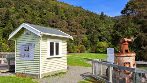
Looking at a shed that housed a machine that aided in supplying water to the Wellington region. Today this...
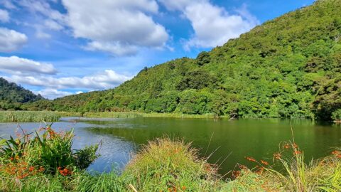
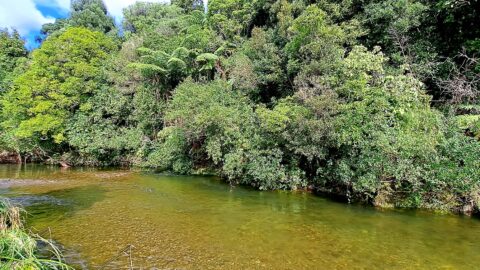
The view of Wainuiomata River near Sledge Track Pool, a natural swimming area. About 100 metres upstream from here,...
The Wainuiomata Waterworks Wetlands are part of the Wainuiomata Regional Park, which encompasses lowland native forests and adjoins the...
