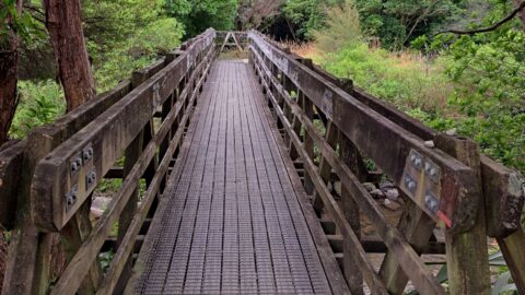
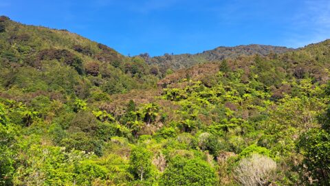
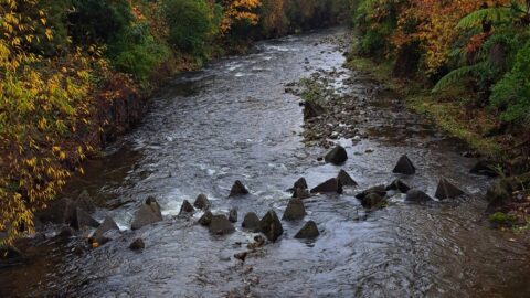
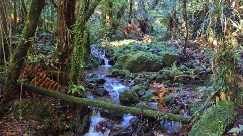
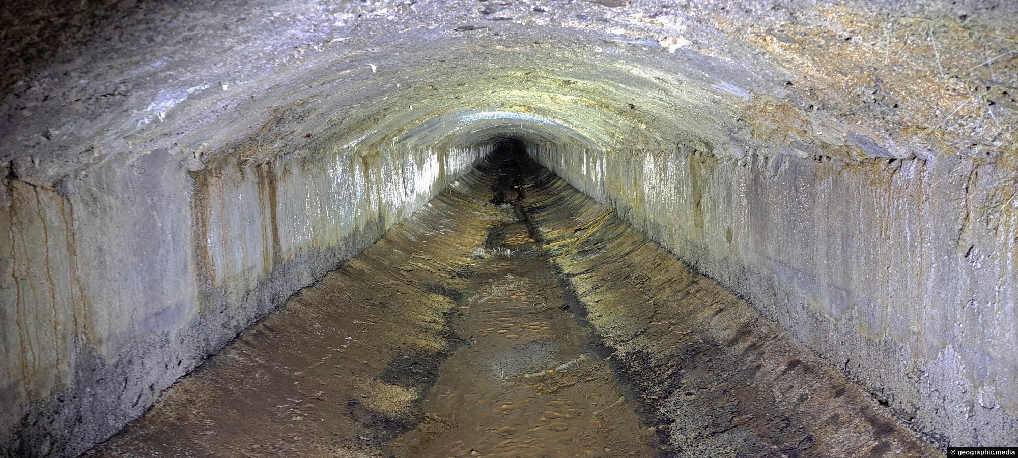
The Wainuiomata water race is a two kilometre long concrete tunnel / closed race built in the early 1880s to carry drinking water from the upper Wainuiomata Valley to the Wellington water supply system. Using gravity to move water through the hillside, it joined a 30 inch pipe that continued toward Wellington.
ALL / About / Wainuiomata Water Race
All original royalty-free photos, shareable maps, and informative articles.
Wainuiomata Water Race
Page Views
This post has been viewed 294 times
Related Articles
-
Harry Todd Recreation Area
Wainuiomata photos, Extra Wide Horizontal, fog, Mountains, Parks
Looking the Harry Todd Recreation Area in Wainuiomata, with towering hills and mountains trapping clouds within the valleys.
-
Sunny Grove & Hine Road & Reserve
Wainuiomata photos, Cities, Extra Wide Horizontal, Mountains
High up on a ridge in Wainuiomata Scenic Reserve, you can get a great view of Sunny Grove, Hine...
-
Coast Road and Wainuiomata River
Wainuiomata photos, Extra Wide Horizontal, Rivers, Roads, Rural, Sea
Coast Road and Wainuiomata River in view. Near the horizon is the Cook Strait, a body of water between...
-
Wainuiomata Road
Wainuiomata photos, Extra Wide Horizontal, Mountains, Roads
Wainuiomata Road is the sole public road leading into Wainuiomata, winding over the Eastern Hutt Hills into the Wainuiomata...
-
Wainuiomata Recreational Area Museum
Wainuiomata photos, Extra Wide Horizontal, Homes, Museums
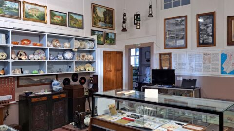
View of the museum in the Wainuiomata Recreational Area. This house among others originally homed workers at the dam.
-
Morepork Owl
Wainuiomata photos, Animals, Extra Wide Horizontal, Forests
Observing a morepork (ruru), commonly referred to as the brown owl. Indigenous to New Zealand and Norfolk Island, this...
-
Coast Road and Lighthouse Bridge
Wainuiomata photos, Bridges, Extra Wide Horizontal, Rivers, Rural, Sea
Looking along Coast Road near the southern coastline, with Lighthouse Bridge in view as it spans the Wainuiomata River.
-
Waterworks Road in Wainuiomata
Wainuiomata photos, Extra Wide Horizontal, Forests, Roads
View of Waterworks Road, a private road. This location looking back from the end of the road where a...
0 Comments
Popular Posts
- Awakening New Zealand video (100)
- Iguazu Falls as seen from Brazil (87)
- Metrocable Medellin (78)
- Pauatahanui Inlet (69)
- Spinnaker Hill View (69)
- Spinnaker Hill in Whitby Porirua (69)
- View from Whitby (68)
- The Devil’s Throat (63)
- Aerial View of Iguazu Falls (61)
- Porirua Harbour & Papakowhai (58)
- Lake Wakatipu (57)
- Salto Rivadavia & Iguassu River (56)
- Salto Rivadavia Misiones Province (54)
- Close up of Salto Rivadavia (54)
- Cascadas at Iguazu (54)
- Lake Tekapo & Lupins (54)
Subjects
AccommodationAnimalsArchitectureBeachesBirdsBoatsBridgesBuildingsCarsChurchesCitiesCoralCultureExtra Wide HorizontalFlowersForestsHarborsHomesIslandsLakesLandscape / HorizontalMapsMenMonumentsMountainsPalmsParksPeoplePlantsPortrait / VerticalRiversRoadsRuralSeaShopsSkyscrapersSnowSunsetsTownsTrailsTransportTreesVideosVolcanicWaterfalls
Recent Comments
- DavidJ on The True Size of Australia
- Anonymous on The True Size of Australia
- Lance on Concrete Hut Wainuiomata
- Tony on Concrete Hut Wainuiomata
- DavidJ on Wellington Night Skyline