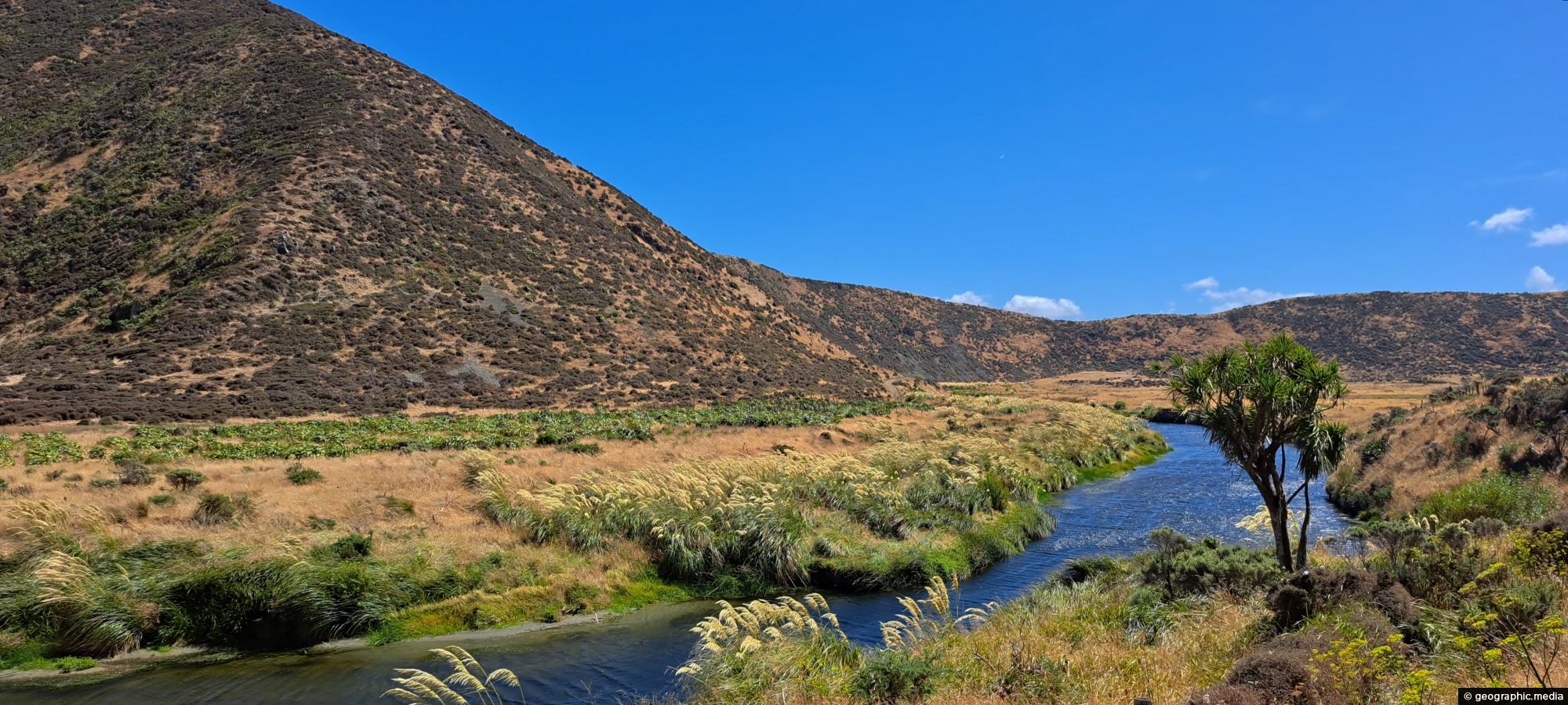
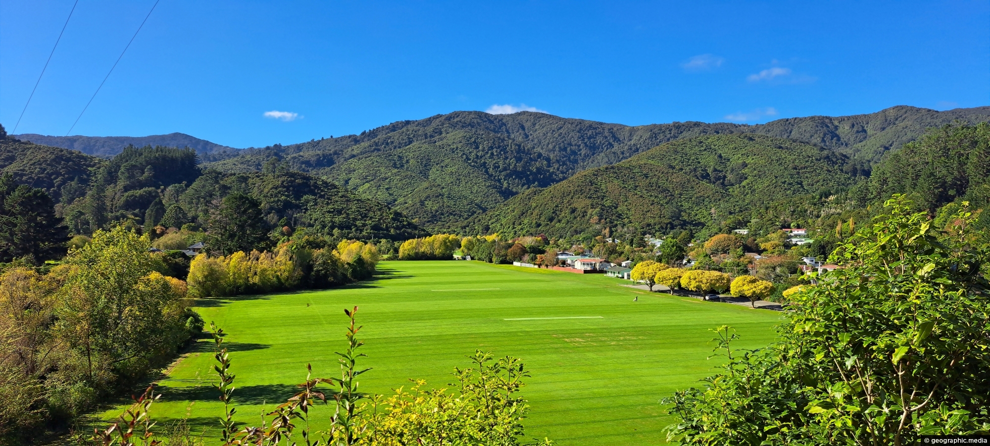
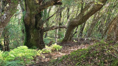
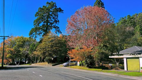
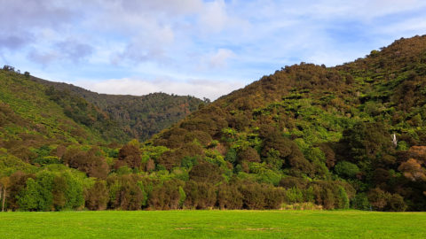
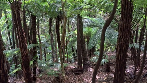
Looking down at the Wainuiomata River from the Coast Road. The river starts in a podocarp rainforest, then flows through suburbia, farmland, and empties out into the south coast.
ALL / Explore Oceania / Explore New Zealand / New Zealand Photos / Wainuiomata photos / Wainuiomata River Coast Road
All original royalty-free photos, shareable maps, and informative articles.
Wainuiomata River Coast Road
Page Views
This post has been viewed 56 times
Related Articles
-
Remutaka Foothills in Wainuiomata
Wainuiomata photos, Extra Wide Horizontal, Forests
Looking at the foothills of the Remutaka Range in Wainuiomata. This location is near the Wainuiomata River and offers...
-
Wetlands Lower Dam
Wainuiomata photos, Extra Wide Horizontal, Forests, Wetlands
These wetlands were restored when the lower dam in Wainuiomata was decommissioned. The hill in the background is one...
-
Wetlands in Wainuiomata
Wainuiomata photos, Extra Wide Horizontal, Forests, Wetlands
The suburb of Wainuiomata was largely comprised of swamp. in 1855 a massive 8.2 earthquake raised much land above...
-
Wainuiomata River and Regional Park
Wainuiomata photos, Extra Wide Horizontal, Mountains, Rivers
Looking at Wainuiomata River within Wainuiomata Regional Park. Also in view is the Remutaka mountain range.
-
Old Tree Covered in Epiphytes
Wainuiomata photos, Portrait / Vertical, Trees
This old tree has hosts many different epiphyte species. An epiphyte refers to a plant species that thrives by...
-
Reservoir Road in Wainuiomata
Wainuiomata photos, Extra Wide Horizontal, Forests, Roads
Reservoir Road in the Wainuiomata Waterworks Recreation Area gives you access to the dams and many walks in the...
-
Parched Farmland in Wainuiomata
Wainuiomata photos, Extra Wide Horizontal, Roads, Rural
Gazing upon parched farmland during the summer months, situated along the Coast Road in Wainuiomata, New Zealand.
-
Lower Dam Spillway Lookout
Wainuiomata photos, Dams, Extra Wide Horizontal, Forests, Rivers
View of the spillway and lookout. The Wainuiomata River is channeled from a wetland, continuing its course beneath as...
0 Comments
Latest Posts
Popular Posts
- Awakening New Zealand video (100)
- Iguazu Falls as seen from Brazil (86)
- Metrocable Medellin (77)
- Spinnaker Hill View (68)
- Pauatahanui Inlet (68)
- View from Whitby (68)
- Spinnaker Hill in Whitby Porirua (67)
- The Devil’s Throat (62)
- Aerial View of Iguazu Falls (61)
- Porirua Harbour & Papakowhai (57)
- Lake Wakatipu (57)
- Salto Rivadavia & Iguassu River (56)
- Lake Tekapo & Lupins (54)
- Cascadas at Iguazu (53)
- Close up of Salto Rivadavia (53)
- Salto Rivadavia Misiones Province (53)
Subjects
AccommodationAnimalsArchitectureBeachesBirdsBoatsBridgesBuildingsCarsChurchesCitiesCliffsCoralCultureExtra Wide HorizontalFlowersForestsHarborsHomesIslandsLakesLandscape / HorizontalMapsMenMonumentsMountainsPalmsParksPeoplePlantsPortrait / VerticalRiversRoadsRuralSeaShopsSkyscrapersSnowSunsetsTownsTransportTreesVideosVolcanicWaterfalls
Recent Comments
- Lance on Concrete Hut Wainuiomata
- DavidJ on Concrete Hut Wainuiomata
- Tony on Concrete Hut Wainuiomata
- DavidJ on Wellington Night Skyline
- Ben on Auckland City Skyline from Westhaven Marina in 1998