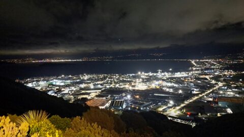
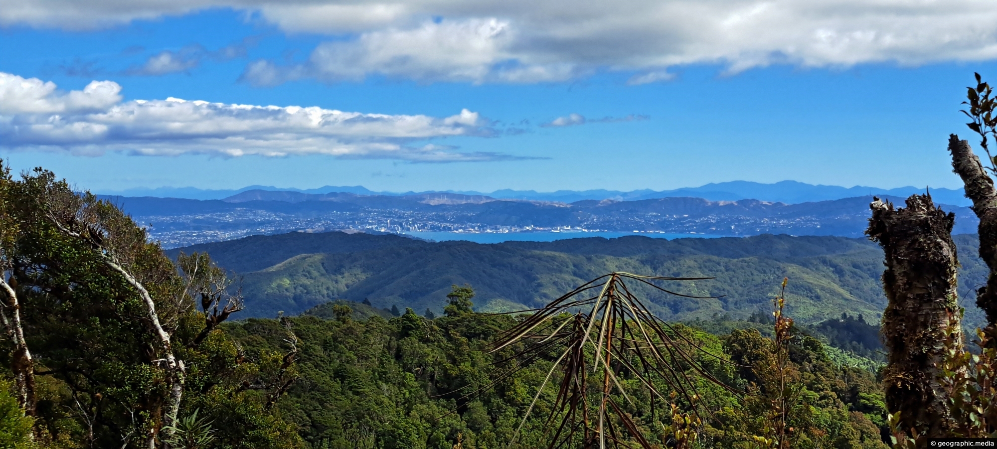
From the peaks of Wainuiomata Regional Park the views are astounding. You can see Wellington Harbour and the city.
Click image for fullscreen.

From the peaks of Wainuiomata Regional Park the views are astounding. You can see Wellington Harbour and the city.
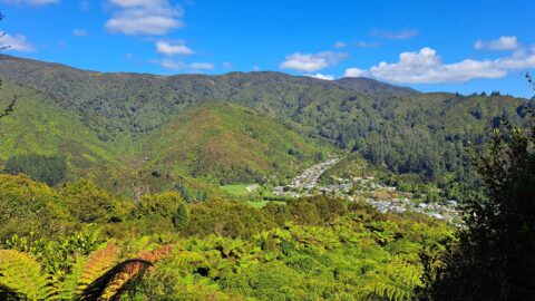
High up on a ridge in Wainuiomata Scenic Reserve, you can get a great view of Sunny Grove, Hine...
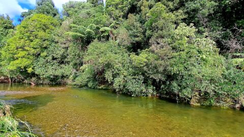
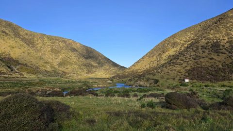
Looking at the upper reaches of the Wainuiomata River at the foothills of the Remutaka range. Access to here...
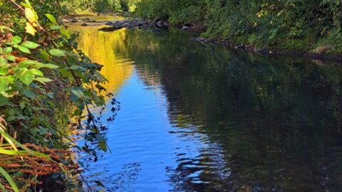
Wainuiomata River surrounded by Autumn colors. This view can be seen from Hine Road Recreation Area at the end...
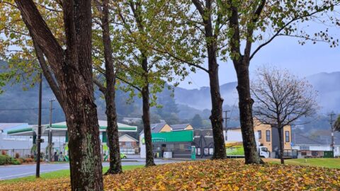
Autumn colors at Queen Street Reserve in the heart of Wainuiomata. The reserve is bounded by Queen Street, Fitzherbert...
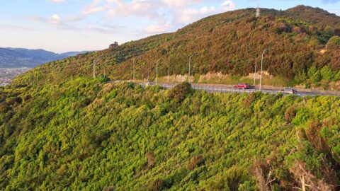
Wainuiomata Road is the sole public road leading into Wainuiomata, winding over the Eastern Hutt Hills into the Wainuiomata...
Looking at Seaview and Wellington Harbour as seen from the Wainuiomata Lookout at the top of Wainuiomata Road.
Looking south along the Wainuiomata River as it flows between two hills towards the wild southern shoreline near Baring...
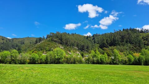
A sunny day at Richard Prouse Park in Wainuiomata looking toward Hine Road and Sunny Grove. The hills are...