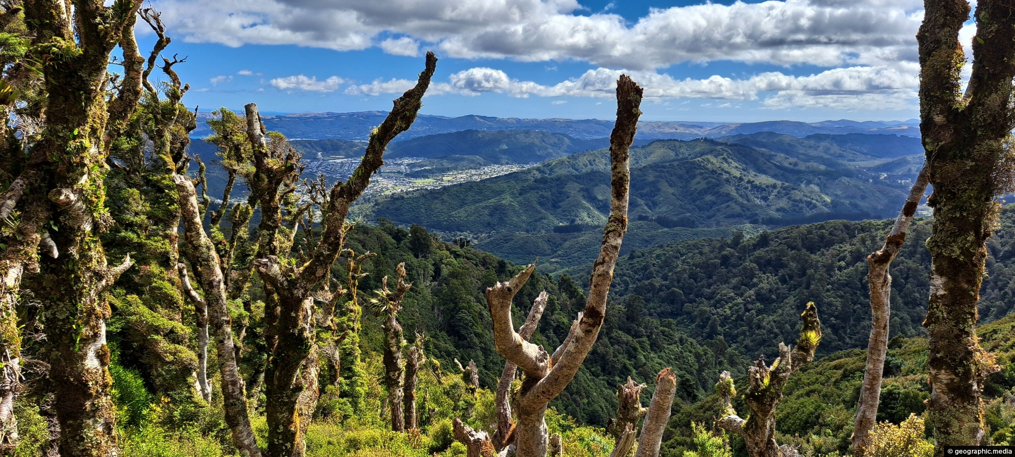
View from the top of Whakanui Track along a ridgeline, before it connects to the McKerrow Track. Wainuiomata can be seen to the left.
Click Jigshare icon to turn the image into a jigsaw. Or click on photo to download or view full screen image.

View from the top of Whakanui Track along a ridgeline, before it connects to the McKerrow Track. Wainuiomata can be seen to the left.
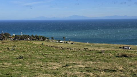
Looking towards Baring Head, with the lighthouse cottages visible near the headland and the South Island seen in the...
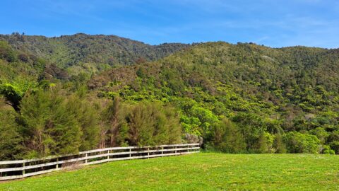
Looking at hills covered in native bush in one the largest areas of lowland native forests in the lower...
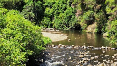
Top Pool in Wainuiomata is a natural swimming area in Wainuiomata River. It is located on the Gums Loop...
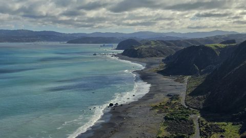
Looking down over Fitzroy Bay and along the south coast of the North Island, with the Interislander ferry visible...
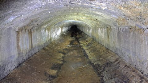
The Wainuiomata water race is a two kilometre long concrete tunnel / closed race built in the early 1880s...
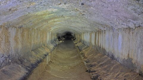
The Concrete Race, also known as the Water Race, is a buried tunnel that once carried clean river water...
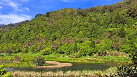
These wetlands were restored when the lower dam in Wainuiomata was decommissioned. The hill in the background is one...
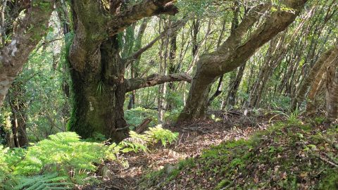
Large trees along the permitter of Bruce’s Track in Wainuiomata. This track connects with both Mount Crowther Track and...
