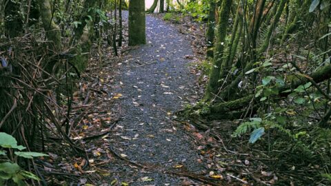
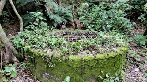
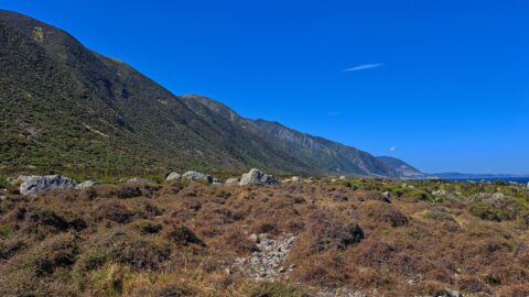
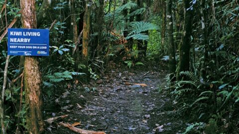
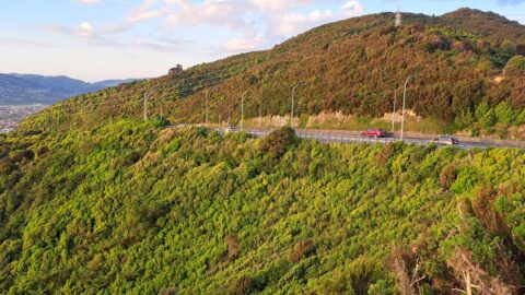
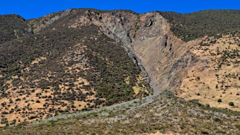
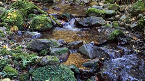
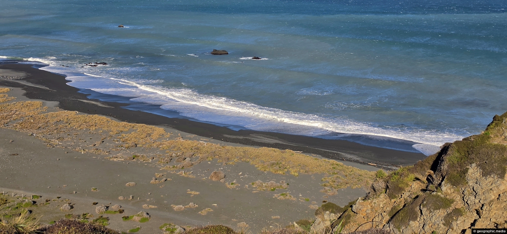
Wainuiomata has a rugged, windswept coastline with grey sand and wild coastal conditions. Pictured is the mouth of the Wainuiomata River, where it flows out into Cook Strait.
ALL / Explore Oceania / Explore New Zealand / New Zealand Photos / Wainuiomata photos / Wainuiomata Sand and Sea
All original royalty-free photos, shareable maps, and informative articles.
Wainuiomata Sand and Sea
Page Views
This post has been viewed 83 times
Related Articles
-
Top Pool Wainuiomata
Wainuiomata photos, Extra Wide Horizontal, Forests, Rivers
View of Top Pool a natural swimming hole in Wainuiomata River. Access is gained from the carpark at the...
-
Richard Prouse Park from The Rock
Wainuiomata photos, Extra Wide Horizontal, Mountains, Parks
Standing at the lookout on The Rock, you get a wide view across Richard Prouse Park and the surrounding...
-
Kahikatea Canopy
Wainuiomata photos, Forests, Portrait / Vertical, Trees
Young kahikatea trees forming a canopy inside a regenerating podocarp rainforest in Wainuiomata Regional Park. These trees can reach...
-
Old Tree Covered in Epiphytes
Wainuiomata photos, Portrait / Vertical, Trees
This old tree has hosts many different epiphyte species. An epiphyte refers to a plant species that thrives by...
-
Hine Road Colours
Wainuiomata photos, Extra Wide Horizontal, Parks, Trees
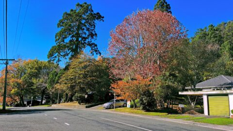
Each autumn, Hine Road puts on a colourful display from exotic trees planted decades ago. Two Sequoia sempervirens can...
-
Richard Prouse Park Tunnel
Wainuiomata photos, Abandoned, Extra Wide Horizontal, Tunnels
The Richard Prouse Park Tunnel (once known as Colemans Tunnel) was constructed between 1881 and 1882. It is situated...
-
Bruce’s Track in Wainuiomata
Wainuiomata photos, Extra Wide Horizontal, Parks, Tracks, Trees
Large trees along the permitter of Bruce’s Track in Wainuiomata. This track connects with both Mount Crowther Track and...
-
View from The Rock in Wainuiomata
Wainuiomata photos, Extra Wide Horizontal, Mountains, Parks, Rivers
A view overlooking Richard Prouse Park and the surrounding hills from The Rock on Moores Valley Road. Once a...
0 Comments
Popular Posts
- Awakening New Zealand video (100)
- Iguazu Falls as seen from Brazil (87)
- Metrocable Medellin (78)
- Pauatahanui Inlet (69)
- Spinnaker Hill View (69)
- Spinnaker Hill in Whitby Porirua (69)
- View from Whitby (68)
- The Devil’s Throat (63)
- Aerial View of Iguazu Falls (61)
- Porirua Harbour & Papakowhai (58)
- Lake Wakatipu (57)
- Salto Rivadavia & Iguassu River (56)
- Salto Rivadavia Misiones Province (54)
- Close up of Salto Rivadavia (54)
- Cascadas at Iguazu (54)
- Lake Tekapo & Lupins (54)
Subjects
AccommodationAnimalsArchitectureBeachesBirdsBoatsBridgesBuildingsCarsChurchesCitiesCoralCultureExtra Wide HorizontalFlowersForestsHarborsHomesIslandsLakesLandscape / HorizontalMapsMenMonumentsMountainsPalmsParksPeoplePlantsPortrait / VerticalRiversRoadsRuralSeaShopsSkyscrapersSnowSunsetsTownsTrailsTransportTreesVideosVolcanicWaterfalls
Recent Comments
- DavidJ on The True Size of Australia
- Anonymous on The True Size of Australia
- Lance on Concrete Hut Wainuiomata
- Tony on Concrete Hut Wainuiomata
- DavidJ on Wellington Night Skyline