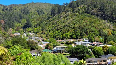
View of Wainuiomata as seen from the lookout at the top of Wainuiomata Hill. A car park at the top of Wainuiomata Road allows you to park safely and walk toward Pukeatua Bridge where a track winds up to the peak of the hill. You can see not only Wainuiomata, but the Hutt Valley and Wellington Harbour too.
View of Wainuiomata
Page Views
This post has been viewed 967 times
Related Articles
-
Wainuiomata River Lower Reaches
Wainuiomata photos, Extra Wide Horizontal, Rivers
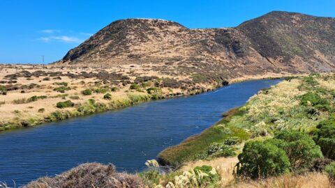
View of the lower reaches of Wainuiomata River in New Zealand’s Wellington Region. The upper reaches of this river...
-
Turakirae Head Sign
Wainuiomata photos, Beaches, Extra Wide Horizontal
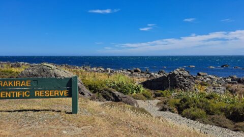
A sign notifying walkers that they are entering the Turakirae Head Scientific Reserve. Situated on the southern coast of...
-
Coastline prior to the 1855 Wairarapa earthquake
Wainuiomata photos, Beaches, Extra Wide Horizontal
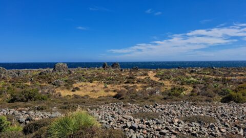
This view shows rocks that once formed the coastline prior to the 1855 Wairarapa earthquake. The powerful 8.2 magnitude...
-
Parched Farmland in Wainuiomata
Wainuiomata photos, Extra Wide Horizontal, Roads, Rural
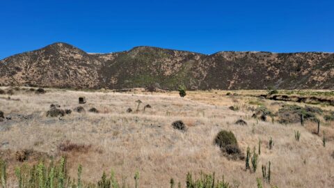
Gazing upon parched farmland during the summer months, situated along the Coast Road in Wainuiomata, New Zealand.
-
Sunny Grove Wainuiomata
Wainuiomata photos, Extra Wide Horizontal, Forests, Homes, Mountains
View of Sunny Grove in Wainuiomata. While the street looks sunny in the photo, it is mostly quite shady...
-
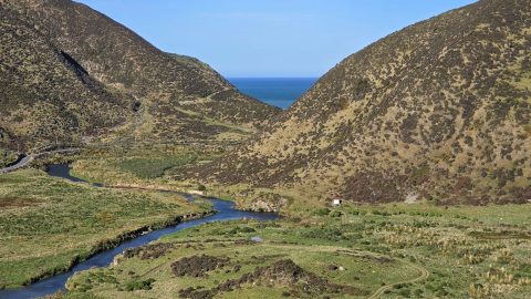
Lower Wainuiomata River
Wainuiomata photos, Extra Wide Horizontal, Rivers, Roads, Rural, Sea
Looking across the southern section of the Wainuiomata River before it flows beyond the south coast and out into...
-
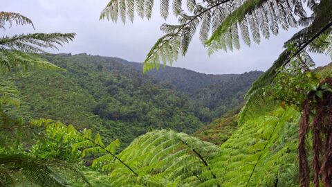
Nikau Creek Valley
Wainuiomata photos, Extra Wide Horizontal, Forests, Mountains
The sight from the summit of the western slope arm overlooks Nikau Creek Valley. On the opposing slope lies...
-
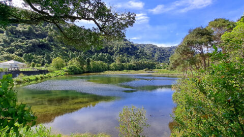
Wainuiomata Recreational Area Wetlands
Wainuiomata photos, Extra Wide Horizontal, Forests, Wetlands
The decommissioned Wainuiomata Lower Dam which once supplied water to Wellington is now a natural wetland.
0 Comments
Popular Posts
- Awakening New Zealand video (100)
- Iguazu Falls as seen from Brazil (87)
- Metrocable Medellin (78)
- Pauatahanui Inlet (69)
- Spinnaker Hill View (69)
- Spinnaker Hill in Whitby Porirua (69)
- View from Whitby (68)
- The Devil’s Throat (63)
- Aerial View of Iguazu Falls (61)
- Porirua Harbour & Papakowhai (58)
- Lake Wakatipu (57)
- Salto Rivadavia & Iguassu River (56)
- Salto Rivadavia Misiones Province (54)
- Close up of Salto Rivadavia (54)
- Cascadas at Iguazu (54)
- Lake Tekapo & Lupins (54)
Subjects
AccommodationAnimalsArchitectureBeachesBirdsBoatsBridgesBuildingsCarsChurchesCitiesCoralCultureExtra Wide HorizontalFlowersForestsHarborsHomesIslandsLakesLandscape / HorizontalMapsMenMonumentsMountainsPalmsParksPeoplePlantsPortrait / VerticalRiversRoadsRuralSeaShopsSkyscrapersSnowSunsetsTownsTrailsTransportTreesVideosVolcanicWaterfalls
Recent Comments
- DavidJ on The True Size of Australia
- Anonymous on The True Size of Australia
- Lance on Concrete Hut Wainuiomata
- Tony on Concrete Hut Wainuiomata
- DavidJ on Wellington Night Skyline