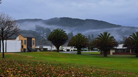
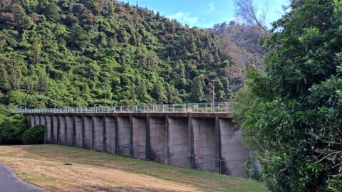
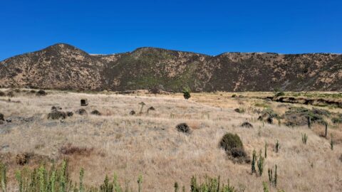
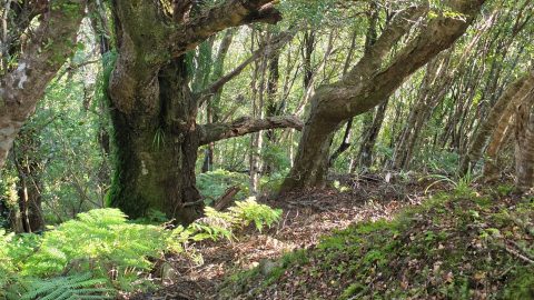
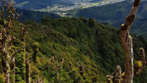
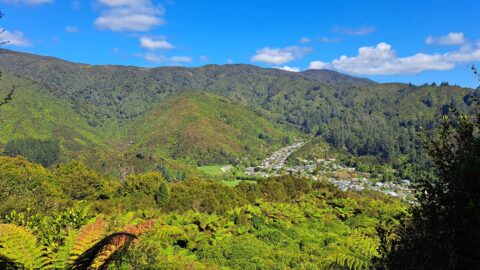
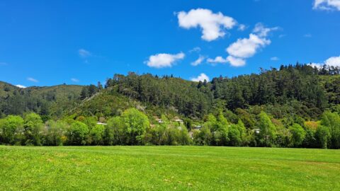
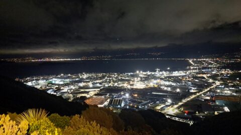
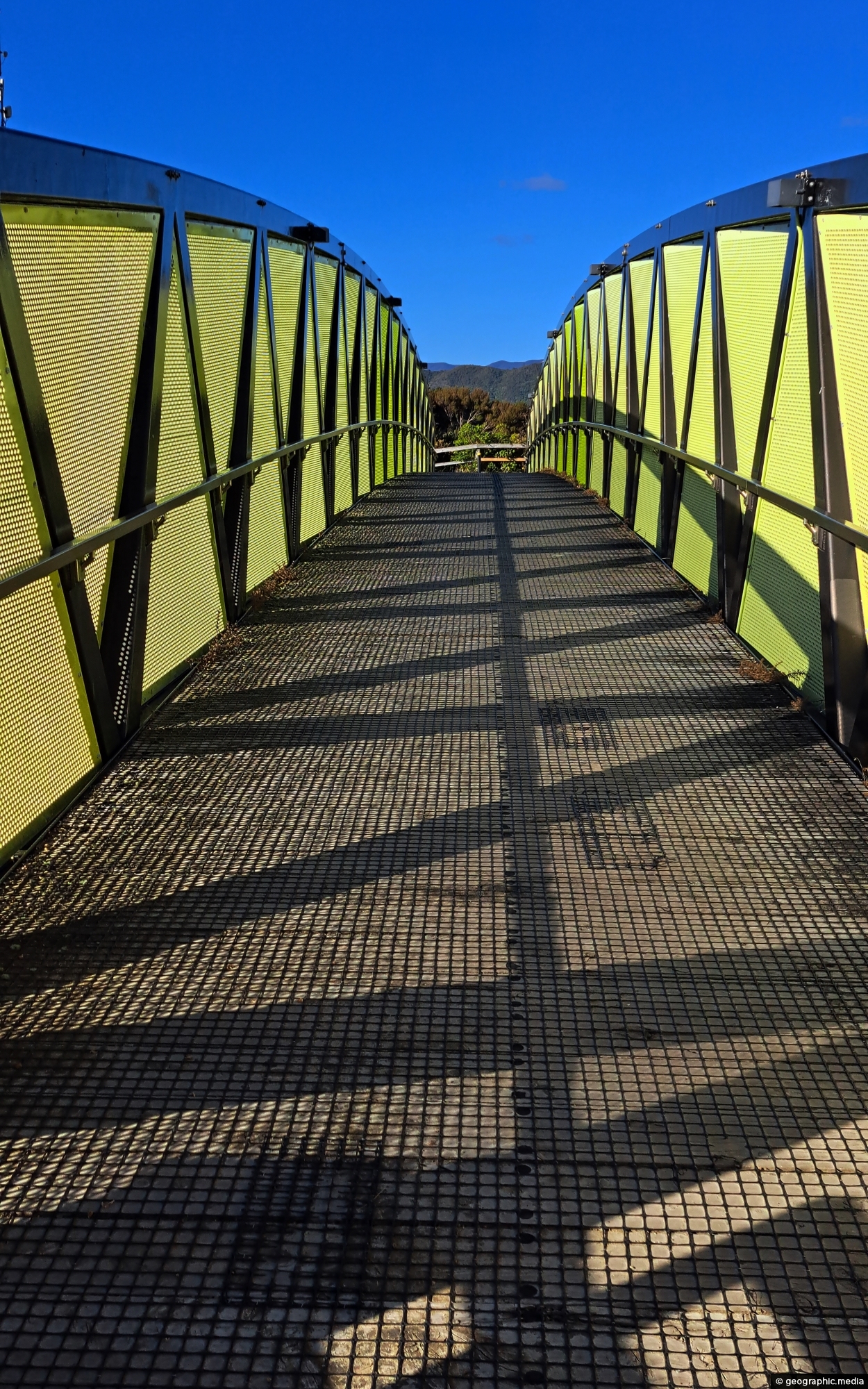
Pukeatua Bridge in Wainuiomata crosses Wainuiomata Road at its highest point, 189 meters above sea level. This places the bridge roughly 200 meters high, offering scenic views from both sides of the road near the bridge.
ALL / Explore Oceania / Explore New Zealand / New Zealand Photos / Wainuiomata photos / Pukeatua Bridge Wainuiomata
All original royalty-free photos, shareable maps, and informative articles.
Pukeatua Bridge Wainuiomata
Page Views
This post has been viewed 622 times
Related Articles
-
Wainuiomata Waterworks Museum Display
Wainuiomata photos, Extra Wide Horizontal, Museums
A display inside the Wainuiomata Recreational Area Museum. The museum is dedicated to the history of the waterworks when...
-
Wainuiomata River at Hine Road
Wainuiomata photos, Portrait / Vertical, Rivers
Wainuiomata River as it passes through Hine Road Recreation Area in Wainuiomata. This is an important recreational asset as...
-
Giant Tree in Wainuiomata Regional Park
Wainuiomata photos, Portrait / Vertical, Trees
View of a giant tree in Wainuiomata in an area that was never logged. While the most of the...
-
Sledge Track and Kiwi Sign
Wainuiomata photos, Forests, Portrait / Vertical, Trails
Sledge Track Creek in Wainuiomata is a habitat for kiwi, New Zealand’s national bird. These flightless and endangered birds...
-
Nikau Creek Valley
Wainuiomata photos, Extra Wide Horizontal, Forests, Mountains
The sight from the summit of the western slope arm overlooks Nikau Creek Valley. On the opposing slope lies...
-
Misty Day at Richard Prouse Park
Wainuiomata photos, Extra Wide Horizontal, fog, Mountains, Parks
Winter view of Richard Prouse Park in Wainuiomata, with the hills of Wainuiomata Regional Park shrouded in fog.
-
Coast Road and Lighthouse Bridge
Wainuiomata photos, Bridges, Extra Wide Horizontal, Rivers, Rural, Sea
Looking along Coast Road near the southern coastline, with Lighthouse Bridge in view as it spans the Wainuiomata River.
-
Concrete Hut Wainuiomata
Wainuiomata photos, Abandoned, Buildings, Ferns, Forests, Portrait / Vertical, Trees
A concrete hut located along a once accessible track above Reservoir Road near the car park, is now concealed...
0 Comments
Popular Posts
- Awakening New Zealand video (100)
- Iguazu Falls as seen from Brazil (87)
- Metrocable Medellin (78)
- Pauatahanui Inlet (69)
- Spinnaker Hill View (69)
- Spinnaker Hill in Whitby Porirua (69)
- View from Whitby (68)
- The Devil’s Throat (63)
- Aerial View of Iguazu Falls (61)
- Porirua Harbour & Papakowhai (58)
- Lake Wakatipu (57)
- Salto Rivadavia & Iguassu River (56)
- Salto Rivadavia Misiones Province (54)
- Close up of Salto Rivadavia (54)
- Cascadas at Iguazu (54)
- Lake Tekapo & Lupins (54)
Subjects
AccommodationAnimalsArchitectureBeachesBirdsBoatsBridgesBuildingsCarsChurchesCitiesCoralCultureExtra Wide HorizontalFlowersForestsHarborsHomesIslandsLakesLandscape / HorizontalMapsMenMonumentsMountainsPalmsParksPeoplePlantsPortrait / VerticalRiversRoadsRuralSeaShopsSkyscrapersSnowSunsetsTownsTrailsTransportTreesVideosVolcanicWaterfalls
Recent Comments
- DavidJ on The True Size of Australia
- Anonymous on The True Size of Australia
- Lance on Concrete Hut Wainuiomata
- Tony on Concrete Hut Wainuiomata
- DavidJ on Wellington Night Skyline