Large trees along the permitter of Bruce’s Track in Wainuiomata. This track connects with both Mount Crowther Track and Camp Wainui. Although not an official public track, it is associated with Camp Wainui and forms part of a wider network of tracks in the area. The route is maintained as a bait line track.
ALL / Explore Oceania / Explore New Zealand / New Zealand Photos / Wainuiomata photos / Bruce’s Track in Wainuiomata
All original royalty-free photos, shareable maps, and informative articles.
Bruce’s Track in Wainuiomata
Page Views
This post has been viewed 234 times
Related Articles
-
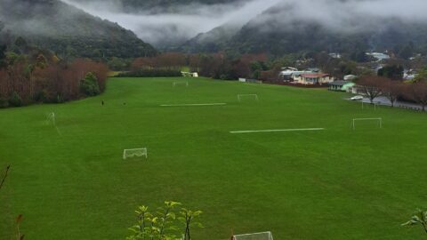
Richard Prouse Park on a Misty Day
Wainuiomata photos, Autumn, Parks, Portrait / Vertical, Trees
A cold and misty winter’s day at Richard Prouse Park in Wainuiomata. You can see goals in the pitches...
-
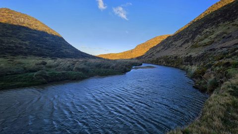
Wainuiomata River Flowing South
Wainuiomata photos, Extra Wide Horizontal, Rivers
View south along the Wainuiomata River towards the coastline, with the shadow of Para Hill falling across the right-hand...
-
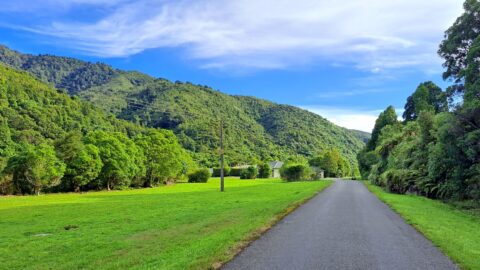
Waterworks Road in Wainuiomata
Wainuiomata photos, Extra Wide Horizontal, Forests, Roads
View of Waterworks Road, a private road. This location looking back from the end of the road where a...
-
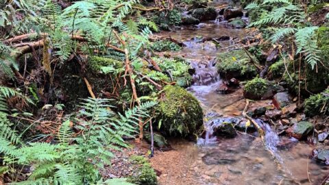
Unnamed Creek in Wainuiomata Regional Park
Wainuiomata photos, Forests, Portrait / Vertical, Rivers
There are numerous unnamed creeks and streams in Wainuiomata Regional Park that feed into the Wainuiomata River including this...
-
Baring Head
Wainuiomata photos, Extra Wide Horizontal, Sea
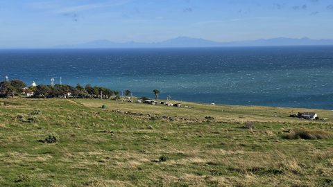
Looking towards Baring Head, with the lighthouse cottages visible near the headland and the South Island seen in the...
-
Old Tree Covered in Epiphytes
Wainuiomata photos, Portrait / Vertical, Trees
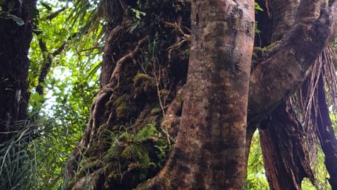
This old tree has hosts many different epiphyte species. An epiphyte refers to a plant species that thrives by...
-
Concrete Hut Wainuiomata
Wainuiomata photos, Abandoned, Buildings, Ferns, Forests, Portrait / Vertical, Trees
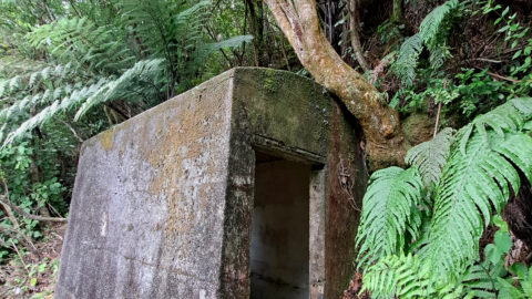
A concrete hut located along a once accessible track above Reservoir Road near the car park, is now concealed...
-
Kittyhawk Crash Site
Wainuiomata photos, Extra Wide Horizontal, Forests
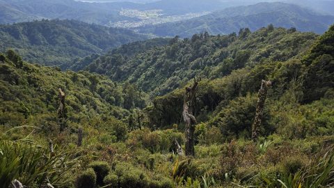
Looking down into Skerretts Gully, just above the site where a Kittyhawk aircraft crashed in 1943. Wreckage from the...
0 Comments
Popular Posts
- Awakening New Zealand video (100)
- Iguazu Falls as seen from Brazil (87)
- Metrocable Medellin (78)
- Pauatahanui Inlet (69)
- Spinnaker Hill View (69)
- Spinnaker Hill in Whitby Porirua (69)
- View from Whitby (68)
- The Devil’s Throat (63)
- Aerial View of Iguazu Falls (61)
- Porirua Harbour & Papakowhai (58)
- Lake Wakatipu (57)
- Salto Rivadavia & Iguassu River (56)
- Salto Rivadavia Misiones Province (54)
- Close up of Salto Rivadavia (54)
- Cascadas at Iguazu (54)
- Lake Tekapo & Lupins (54)
Subjects
AccommodationAnimalsArchitectureBeachesBirdsBoatsBridgesBuildingsCarsChurchesCitiesCoralCultureExtra Wide HorizontalFlowersForestsHarborsHomesIslandsLakesLandscape / HorizontalMapsMenMonumentsMountainsPalmsParksPeoplePlantsPortrait / VerticalRiversRoadsRuralSeaShopsSkyscrapersSnowSunsetsTownsTrailsTransportTreesVideosVolcanicWaterfalls
Recent Comments
- DavidJ on The True Size of Australia
- Anonymous on The True Size of Australia
- Lance on Concrete Hut Wainuiomata
- Tony on Concrete Hut Wainuiomata
- DavidJ on Wellington Night Skyline