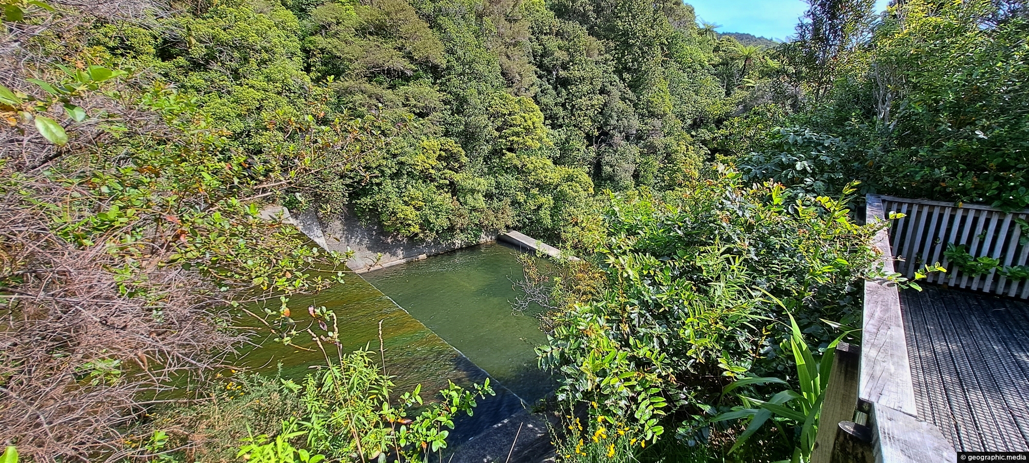
View of the spillway and lookout. The Wainuiomata River is channeled from a wetland, continuing its course beneath as a flowing river.
Click Jigshare icon to turn the image into a jigsaw. Or click on photo to download or view full screen image.

View of the spillway and lookout. The Wainuiomata River is channeled from a wetland, continuing its course beneath as a flowing river.
Observing Queen Street Reserve in the fall, you’ll find a charming oasis nestled in the heart of the Wainuiomata...
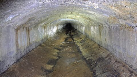
The Wainuiomata water race is a two kilometre long concrete tunnel / closed race built in the early 1880s...
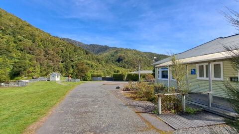
View of the museum in the Wainuiomata Recreational Area. This house among others originally homed workers at the dam.
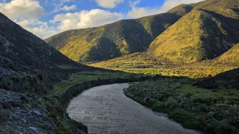
The Wainuiomata River, viewed from the Great Loop Walk beneath the shadow of Para Hill, near the Wainuiomata coast.
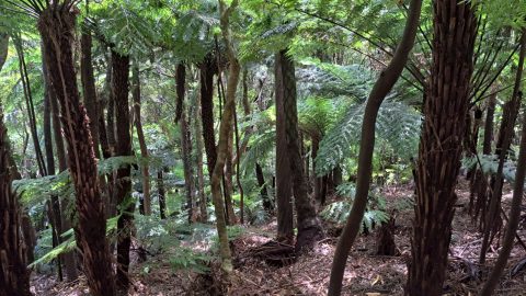
Fern trees are widespread throughout New Zealand forests and typically thrive in shaded areas with consistent rainfall.
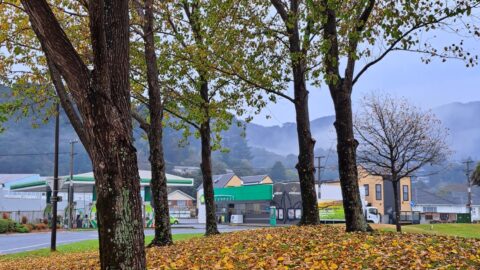
Autumn colors at Queen Street Reserve in the heart of Wainuiomata. The reserve is bounded by Queen Street, Fitzherbert...
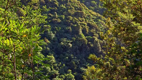
View of Nikau Creek Valley in Wainuiomata from high up one of the gully walls. Over the hill ahead...
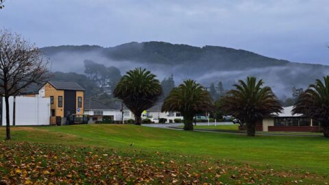
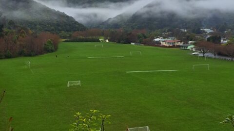
A cold and misty winter’s day at Richard Prouse Park in Wainuiomata. You can see goals in the pitches...
