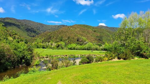
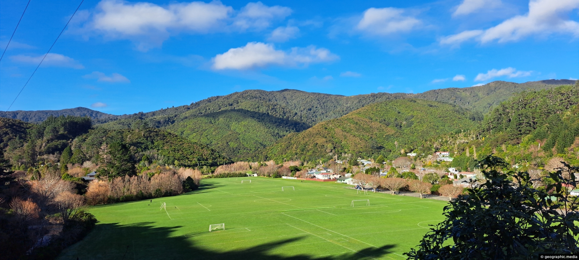
View of Richard Prouse Park as seen from Moores Valley Road. The hills in the background are part of Wainuiomata Regional Park.
Click image for fullscreen.

View of Richard Prouse Park as seen from Moores Valley Road. The hills in the background are part of Wainuiomata Regional Park.
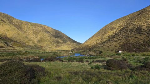
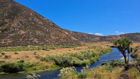
Looking south along the Wainuiomata River as it flows between two hills towards the wild southern shoreline near Baring...
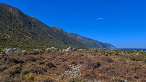
This view captures the eastern edge of the Remutaka Range in Palliser Bay, which can be accessed either via...
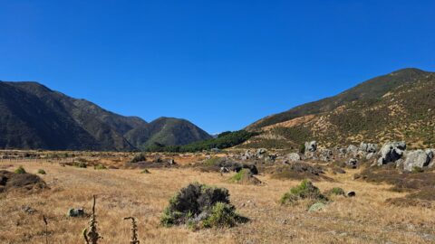
Looking towards the head of the Ōrongorongo Valley and into the Remutaka Range, as viewed from the coastal walk...
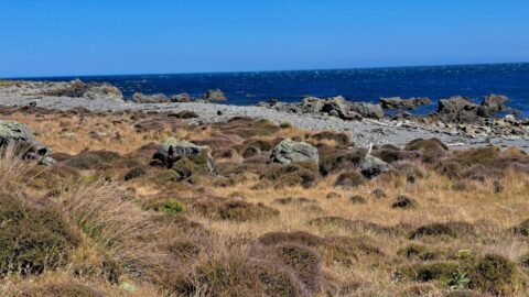
A view of the rugged coastline and native vegetation on the southern North Island, specifically in Wainuiomata. This section...
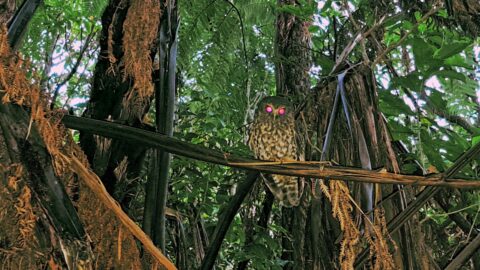
Observing a morepork (ruru), commonly referred to as the brown owl. Indigenous to New Zealand and Norfolk Island, this...
Looking down at the Wainuiomata River from the Coast Road. The river starts in a podocarp rainforest, then flows...
Looking at Wainuiomata River within Wainuiomata Regional Park. Also in view is the Remutaka mountain range.
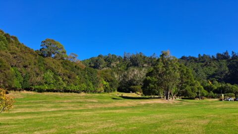
Hine Road Recreation Area, formerly referred to as The Meadow by some, it comprised paddocks hosting grazing horses during...