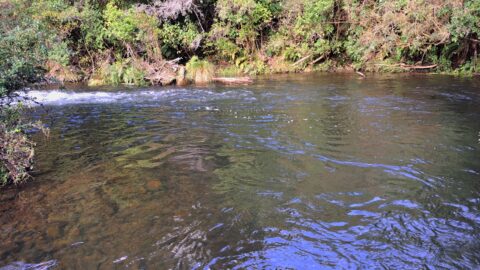
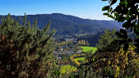
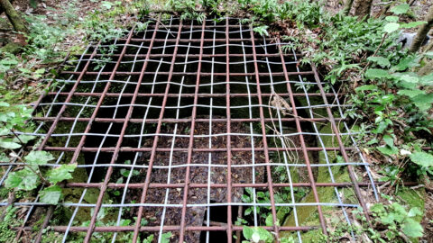
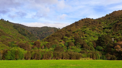
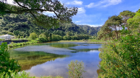
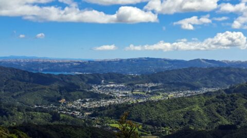
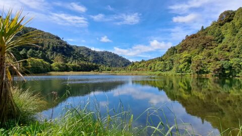
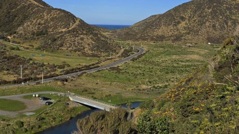
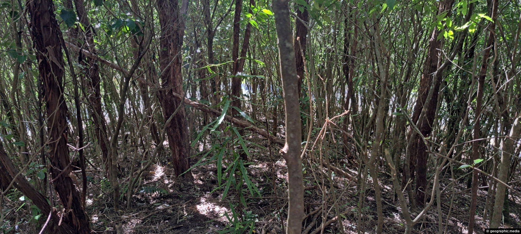
Solomon’s Knob is a small hill in the Wainuiomata water catchment, reshaped in the early 1900s during the building of Morton Dam. Once cleared and overrun with gorse, its slopes are now regenerating with native forest. There is an old track that runs up the spur called Solomon Track that connects to the original Whakanui Track.
ALL / Explore Oceania / Explore New Zealand / New Zealand Photos / Wainuiomata photos / Solomon’s Knob in Wainuiomata
All original royalty-free photos, shareable maps, and informative articles.
Solomon’s Knob in Wainuiomata
Page Views
This post has been viewed 382 times
Related Articles
-
Hine Road Recreation Reserve Bridge
Wainuiomata photos, Bridges, Portrait / Vertical, Rivers
The construction of Hine Road Recreation Reserve Bridge dates back to 1989. It provides passage to Top Pool Bridge,...
-
Hine Road in Wainuiomata
Wainuiomata photos, Autumn, Extra Wide Horizontal, Roads, Trees
Hine Road in Wainuiomata explodes into color every Autumn. The street is lined with deciduous trees with pine trees...
-
Native Plants Remutaka Forest Park
Wainuiomata photos, Extra Wide Horizontal, Forests, Plants
Typical young native plants growing on the forest floor in Ōrongorongo Forest Park, Wainuiomata. The ferns seen here are...
-
Upper Reaches of Wainuiomata River
Wainuiomata photos, Forests, Portrait / Vertical, Rivers
Looking at an almost inaccessible part of the Wainuiomata River. There are no tracks leading here, but you gain...
-
Richard Prouse Park Eastern View
Wainuiomata photos, Extra Wide Horizontal, Parks
Looking at the eastern side of Richard Prouse Park from high up a nearby hillside. Houses on Hine Road...
-
Richard Prouse Park & Harry Todd Reserve
Wainuiomata photos, Extra Wide Horizontal, fog, Mountains, Parks
Looking at Richard Prouse Park in Wainuiomata with a misty Harry Todd Reserve in the background hills behind Hine...
-
Baring Head
Wainuiomata photos, Extra Wide Horizontal, Sea
Looking towards Baring Head, with the lighthouse cottages visible near the headland and the South Island seen in the...
-
O-K Main in Wainuiomata
Wainuiomata photos, Extra Wide Horizontal, Rivers
The O-K Main in Wainuiomata, also known as the Orongorongo Pipeline, carried water from the Orongorongo Catchment to Karori,...
0 Comments
Popular Posts
- Awakening New Zealand video (100)
- Iguazu Falls as seen from Brazil (87)
- Metrocable Medellin (78)
- Pauatahanui Inlet (69)
- Spinnaker Hill View (69)
- Spinnaker Hill in Whitby Porirua (69)
- View from Whitby (68)
- The Devil’s Throat (63)
- Aerial View of Iguazu Falls (61)
- Porirua Harbour & Papakowhai (58)
- Lake Wakatipu (57)
- Salto Rivadavia & Iguassu River (56)
- Salto Rivadavia Misiones Province (54)
- Close up of Salto Rivadavia (54)
- Cascadas at Iguazu (54)
- Lake Tekapo & Lupins (54)
Subjects
AccommodationAnimalsArchitectureBeachesBirdsBoatsBridgesBuildingsCarsChurchesCitiesCoralCultureExtra Wide HorizontalFlowersForestsHarborsHomesIslandsLakesLandscape / HorizontalMapsMenMonumentsMountainsPalmsParksPeoplePlantsPortrait / VerticalRiversRoadsRuralSeaShopsSkyscrapersSnowSunsetsTownsTrailsTransportTreesVideosVolcanicWaterfalls
Recent Comments
- DavidJ on The True Size of Australia
- Anonymous on The True Size of Australia
- Lance on Concrete Hut Wainuiomata
- Tony on Concrete Hut Wainuiomata
- DavidJ on Wellington Night Skyline