
Mount Taranaki, also known as Mount Egmont, is an active stratovolcano known for its symmetrical cone shape and stunning...
Mt Taranaki photos
About
About Mt Ruapehu
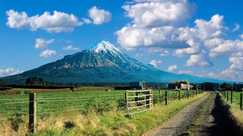
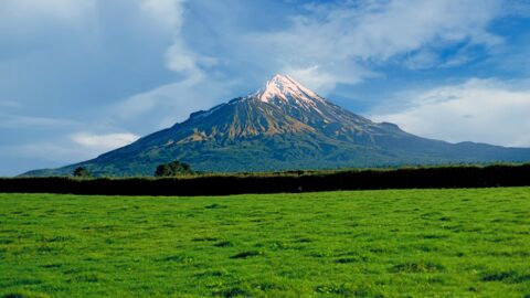
Our photos of Mt Taranaki include the volcano and surrounding rural landscapes that surround the mountain.
Mount Taranaki, also known as Mount Egmont, is an active stratovolcano located on the west coast of New Zealand’s North Island. It is an iconic landmark in the Taranaki region and is famous for its mostly symmetric cone shape. The mountain rises dramatically from the surrounding plains and reaches an elevation of 2,518 meters (8,260 feet) above sea level.
Its significance extends beyond its geological features. Mount Taranaki holds cultural importance for the Māori people, who consider it a sacred site and have woven numerous legends and stories around it. This cultural significance is reflected in its Māori name, Taranaki.
Despite being dormant since the mid-18th century, Mount Taranaki is still classified as an active volcano and is monitored for any signs of potential activity. Its last known eruption occurred in the 17th century.
Tourism and outdoor activities thrive around the mountain. Egmont National Park, encompassing the mountain, and surrounding plains offering various opportunities for hiking, bush walks, and camping. The trails to the summit are challenging and require preparation due to rapidly changing weather conditions.
The mountain’s weather is known for its unpredictability, and visitors must be prepared for sudden shifts in weather, especially if attempting to reach the summit. The Manganui Ski Area, located on its northern slopes, provides skiing and snowboarding options during the winter season.
A secondary peak called Fathoms Peak is easier to scale and provides incredible closeup views of the Taranaki’s peak.
For more photos of Mt Taranaki, visit Virtual New Zealand.
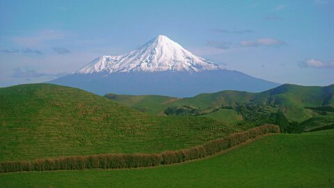
View of Mt Taranaki from a Taranaki farm. The region is mostly rural offering stunning views of the volcanic...
Mt Taranaki with surrounding farmland. Taranaki is a rich dairy farming region thanks in part to Mt Taranaki. The...
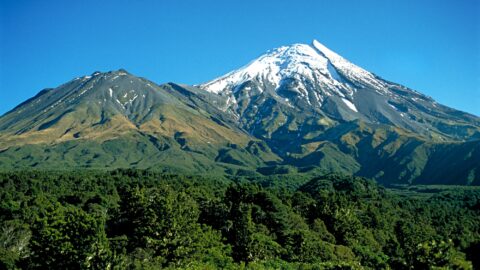
View of Taranaki National Park showing the main peak of Mt Taranaki, adjoining Fanthams Peak, and temperate rainforest that...
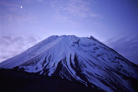
Looking at the peak of the top 500 meters of Mount Taranaki with a crescent moon in the sky...
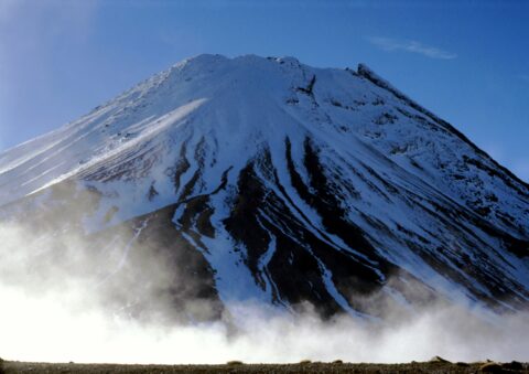
The peak of Mount Taranaki as seen from neighbouring Fanthams Peak. The walk up Fanthams Peak can be quite...
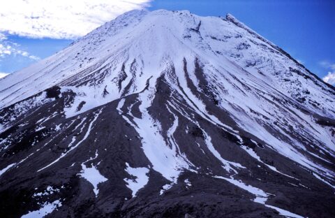
Looking at the top 500 meters of Mt Taranaki as seen from Fanthams Peak which is 1966 meters above...
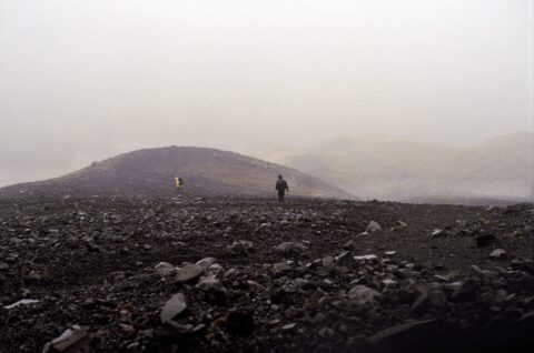
Walking atop Fanthams Peak in Taranaki toward Syme Hut. The low cloud hides the neighboring peak of Mt Taranaki.
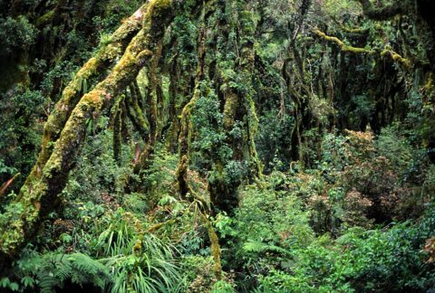
Rainforest found on the lower inclines of Mount Taranaki within Egmont National Park owes its lushness to the copious...

Recent Comments