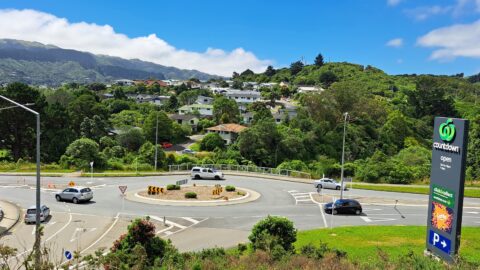
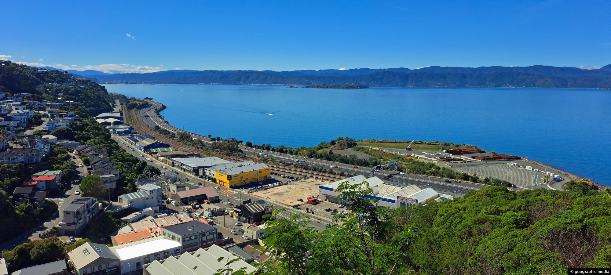
Looking down on Hutt Road and State Highway One with Wellington Harbour in view and the Remutaka Range in the background.
Click image for fullscreen.

Looking down on Hutt Road and State Highway One with Wellington Harbour in view and the Remutaka Range in the background.
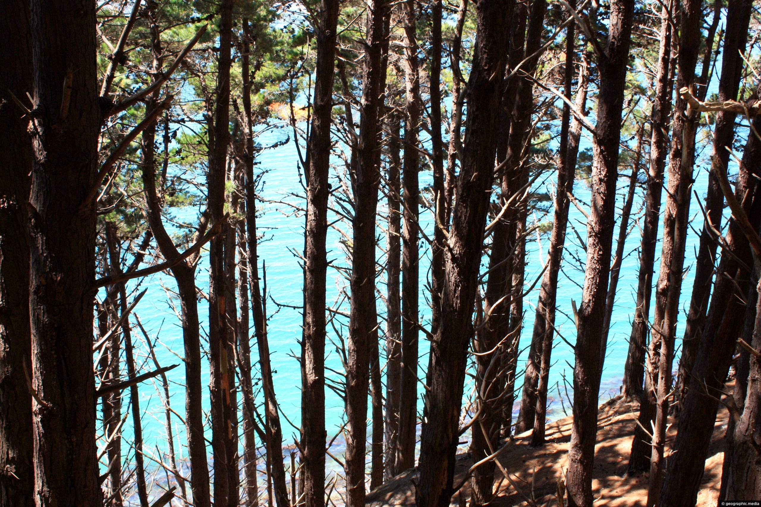
Monterey Pine forest on the slopes around Wellington Harbour. The Monterey Pine (Pinus Radiata) is a pine tree native...
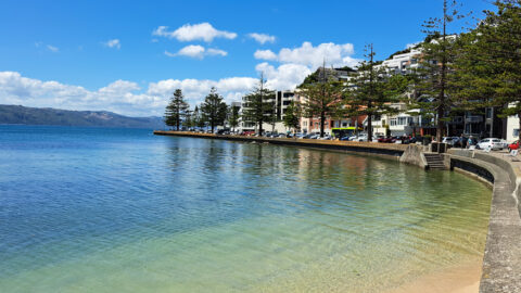
Looking at Wellington Harbour from Oriental Bay. The trees in view are Norfolk Pines which are native to Norfolk...
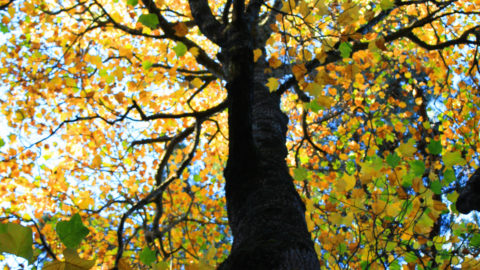
An exotic American Tulip tree in the Wellington Botanical Gardens. The American Tulip is the the tallest hardwood in...
Tawa is a suburb located in the northern part of Wellington, the capital city of New Zealand. It is...
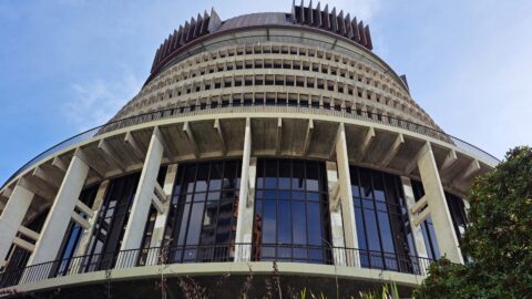
The Beehive is one of Wellington’s most recognisable landmarks and serves as the Executive Wing of New Zealand’s Parliament...
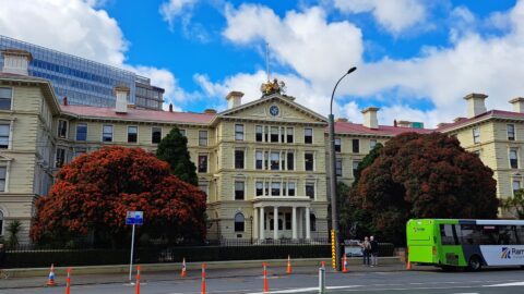
Located opposite Parliament, New Zealand’s ex-Government buildings stand proudly within the Government Buildings Historic Reserve. This impressive building, erected...
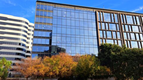
44 Bowen Street serves as the site for Bowen Campus, boasting a value surpassing $500 million NZD. Situated adjacent...
Looking at Bowen Campus on Bowen Street in Wellington. It is the location for the Ministry of Defence and...