
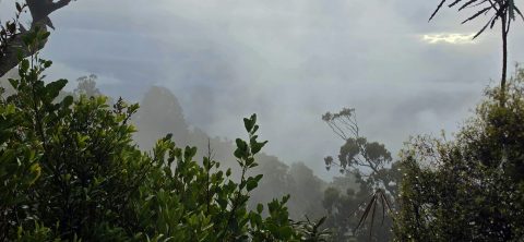
Cloud rises against McKerrow Ridge, shrouding the forested slopes of Remutaka Forest Park in mist. The area receives high...
New Zealand Photos
About Places Share
About
My New Zealand photographic collection covers both the North and South islands. The subjects are remarkably varied, ranging from major cities such as Auckland, Wellington and Christchurch to small towns, mountains, coastlines, rivers and distinctive geological features. The collection also includes native flora and wildlife, people, sport and Māori culture. The images date from the 1960s which include some photos my dat took, to span several decades from the 1908s through to the present day.
As I live in New Zealand, I have made far too many journeys to describe individually. Over the years, I have travelled extensively throughout both islands, photographing a wide range of places, landscapes and communities.
In the North Island, I have explored and photographed Northland, Auckland, the Coromandel, Waikato, Rotorua, Gisborne, Māhia, Napier, Taranaki, Wairarapa and the Wellington region.
My travels in the South Island have included Picton, Nelson, the West Coast, Wānaka, Queenstown and Fiordland. I also visited Christchurch shortly after the earthquakes, having previously lived there for a year in 1987.
Other destinations have included Oamaru and Timaru, although Dunedin and Stewart Island remain places I have yet to visit.
More recently, I have been venturing off the established tracks and bush bashing through the wild areas around Wainuiomata, east of Wellington. Photographs and accounts of these expeditions can be viewed at wainuiomata.net.
I also have a collection of older New Zealand photographs on Virtual New Zealand, my first website, which I created in 1994.
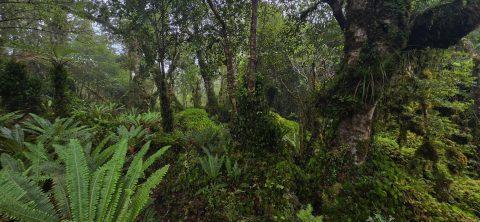
Beneath the rainforest canopy, the understorey in the Remutaka Forest Park in Wainuiomata is thick with ferns, mosses, and...
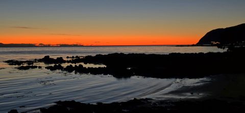
The rugged Plimmerton coastline takes on a dramatic appearance at sunset, with the fading light stretching across the Tasman...
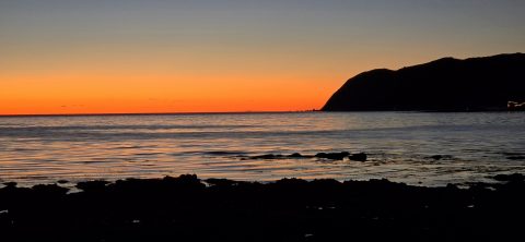
The headland and coastline of Plimmerton, a suburb of Porirua, are silhouetted against the sunset over the Tasman Sea.
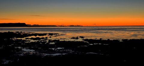
Looking out over the Tasman Sea at sunset, with the Plimmerton coastline in view and Mana Island to the...
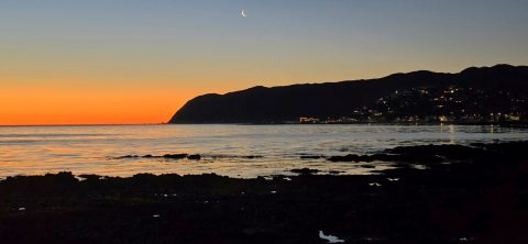
Sunset over the Plimmerton coastline, with the moon hovering above this coastal suburb of Porirua in New Zealand.
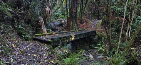
A bridge at the beginning of the Whakanui Track crossing Skerretts Creek. From here the track rises up to...
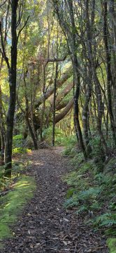
The Whakanui Track passes through scenic forest in Remutaka Forest Park. It climbs steeply, revealing different forest types as...
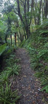
The Whakanui Track passes through typical native rainforest in this section, where ferns and beech trees dominate the landscape.
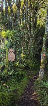
The Whakanui Track in Remutaka Forest Park, Wainuiomata, is home to more than 140 wild kiwi. Signs in the...
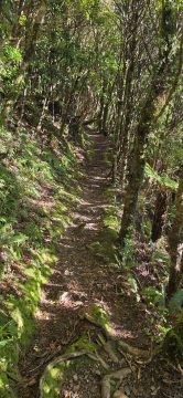
This section of the Whakanui Track follows a steep hillside, with openings that offer stunning views of the gully...
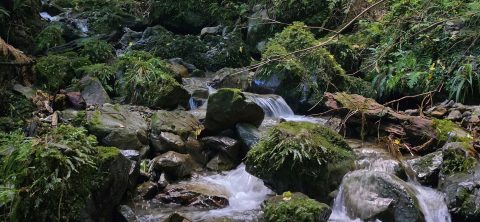
A view of Nikau Creek deep in the gully, through dense native bush, and beyond Nikau Creek Track in...

Recent Comments